
Extensions in Hadleigh
The old town on the floodplain and the modern town on the clay above it, and almost every cost here follows from which of the two you are standing on.
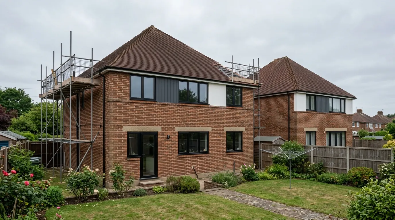 Fig. 01
Extending in Hadleigh
Two towns share one name here, and which of them you live in is decided by about thirty metres of height.
Hadleigh sits in south central Suffolk on the north eastern bank of the River Brett, a tributary of the Stour, roughly eleven miles from us. The High Street runs north west to south east along the valley floor at about 20 metres above ordnance datum. The streets running off it climb north east to around 50 metres, and above that sits the twentieth century housing where most of the town’s 8,764 people live.
That rise is the organising fact of the place. The old town is on the alluvial floodplain, inside a conservation area, on ground that was never dry. The modern town is on the boulder clay above it, outside the designation, on ground that shrinks and swells. Almost everything that decides the cost of an extension here follows from which of those two you are standing on.
Babergh District Council, and a plan made in February 2025
The authority is verified rather than assumed, and the local policy layer here is the newest in this part of Suffolk.
Applications in Hadleigh are determined by Babergh District Council, which runs a shared officer structure and one planning website with Mid Suffolk District Council while remaining a separate authority determining applications in a separate district. Hadleigh Town Council is a consultee rather than the decision maker. Suffolk County Council is the highway authority, which is where a skip permit, a dropped kerb or a scaffold licence goes.
The adopted development plan is the Babergh and Mid Suffolk Joint Local Plan Part 1 of November 2023. Sitting under it is the Hadleigh Neighbourhood Development Plan, which went to referendum on 25 February 2025 and was made by Babergh two days later, running from 2023 to 2037. An updated version was published in December 2025.
A made neighbourhood plan is part of the statutory development plan, so it is not advisory. Two of its policies reach a householder application directly. Policy HAD1 ties development to the Hadleigh Design Guidance and Codes of 2023, which divides the town and its edges into nine character areas with a design code for each, and asks proposals to include a proportionate statement showing how that guidance has been addressed. Proportionate is doing real work in that sentence: for a rear extension it is a short paragraph and a couple of drawings, not a report. Policy HAD2 protects sixteen identified key views, and it expressly excepts householder applications from its Area of Local Landscape Sensitivity test while not excepting them from the key views clause. On the valley sides that distinction matters, because a roof enlargement on the hill can appear in a view somebody has taken the trouble to designate.
Where the houses are, and when they went up
Just over 240 listed entries and around 2,300 households, which is a ratio nothing else in this group has.
Hadleigh has more listed buildings than Lavenham does. It has four at grade I against Lavenham’s thirteen, and three of the four stand together around the churchyard: the flint Church of St Mary, the red brick Deanery Tower and the timber framed Guildhall, all fifteenth century. Everything else is grade II or II*, and a fair amount of it is listed for group value rather than in its own right.
What that means for a homeowner is the opposite of what the headline suggests. This is a working town of nearly nine thousand people, so the overwhelming majority of Hadleigh houses are neither listed nor in the conservation area, and the ordinary extension here is an ordinary extension.
The old stock runs along the High Street and out into Benton Street, Angel Street and George Street. Two forms dominate: the Suffolk vernacular of steep gables and plaintiled roofs, mostly timber framed and often jettied, and the eighteenth and nineteenth century brick buildings that infilled between them, with gentler roof slopes and slate. Hadleigh’s second boom refronted many of those frames in brick, but not all, and it never had the wholesale Georgian rebuilding of wealthier towns. So the frontage is an unreliable witness here. Some Georgian fronts have a medieval frame behind them and some do not, and that is settled by opening up rather than by looking.
Up the hill it is a different exercise entirely. The first 24 council houses were finished by 1924 and there were 144 by 1950, but the expansion that made modern Hadleigh came with the Lady Lane Industrial Estate in 1964 and the residential development that followed it. Churchill Avenue, Highlands Road, Tayler Road, Buckenham Road and the closes off Station Road are that town: driveways, side gates, gardens of a normal depth, and the useful thing about the timing is what it did to the roofs. Housing built up to about the mid 1960s generally has a cut roof, framed on site, with purlins and struts that can be reworked. Housing built after it generally has trussed rafters, which cannot be cut about without a designed replacement structure. That line runs through Hadleigh’s building history and decides whether a loft conversion is a room or a rebuild.
The conservation area, designated in 1969
One of the earliest in Suffolk, revised twice, and it removes specific rights rather than general ones.

The Hadleigh conservation area was designated by the former West Suffolk County Council in 1969, inherited by Babergh in 1974, and revised in 1981 and again in 1998. Its appraisal was adopted as supplementary planning guidance in September 2008. The current line is what counts, and it is not obvious from the street.
Inside it the land is article 2(3) land under the permitted development order. Class A stops covering side extensions and rear extensions of more than one storey. Class B stops covering enlargement of the roof, so a dormer becomes an application. Cladding an elevation needs consent. Class C, which covers other roof alterations, carries no equivalent exclusion, so a rooflight sitting within the plane of the slope stays permitted development on designated land, front slope included, provided it projects no more than 150mm beyond the plane of the original slope, sits no higher than the highest part of the original roof, and is obscure glazed and non-opening below 1.7 metres where it sits on a side elevation slope. Class B’s version of that glazing condition is wider, catching a window in a side elevation wall as well as one in the roof, which is worth knowing on the occasions Class B is still available to you.
An Article 4 direction can remove any of this on a particular street or a particular house. It is a local instrument and it will not show up in the national rules, so it costs nothing to have Babergh confirm the position against your address before you rely on a right, and how a direction actually works takes ten minutes to read.
Listing is a separate regime and the correct position on it is repeated wrongly more often than any other planning fact. Listing does not withdraw the Part 1 rights that govern extensions and roof work. It adds listed building consent alongside planning, under different legislation, reaching the interior and the curtilage, and unauthorised work under it is a criminal offence rather than an enforcement matter. There is one reversal inside Part 1 that catches people on a long High Street plot: Class E, which covers buildings incidental to the enjoyment of a house, is not permitted development anywhere within the curtilage of a listed building. So the rear extension may need no planning application while the garden office at the bottom of the same garden does. How the two consents run together sets out the rest.
The ninety-six that are not listed
Hadleigh has a local list with a policy behind it, which is a stronger position than most local lists occupy.
Policy HAD6 of the neighbourhood plan identifies 96 non-designated heritage assets across the parish. The designation creates no consent regime of its own. What it does is oblige an officer to weigh the significance of the building against the harm a proposal would do to it, supported by a heritage statement, and to resist demolition of the ones that carry the conservation area.
Benton Street is where this bites hardest. It has more unlisted buildings than the High Street does, which is why the appraisal notes a rash of uPVC windows there and expects the High Street to escape it. An unlisted house in a conservation area on a local list is a specific and quite common Hadleigh position: full Part 1 rights modified by article 2(3), no listed building consent, and an officer who will nonetheless read your materials carefully. That combination is worth establishing in writing before money is spent, and a lawful development certificate settles the planning half of it.
Twenty metres and fifty metres
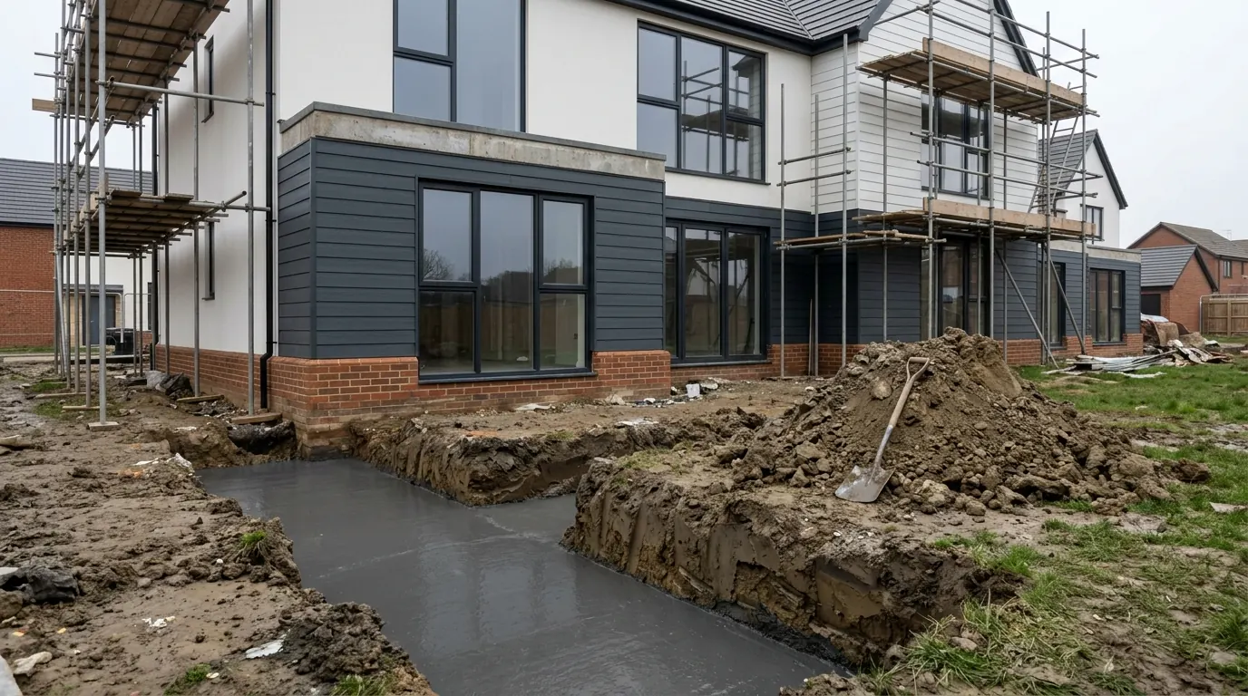
The valley has cut down through the clay to expose three or four different grounds, and they are stacked by height.
The Brett has cut through the boulder clay of High Suffolk and exposed gravels, crags and pockets of older London Clay in the valley sides. At the bottom, where the High Street is, the town centre stands on alluvium. On the tops, where the housing is, you are back on the boulder clay.
Those two grounds fail in opposite ways. Alluvium is soft, variable and low in bearing capacity, so the question in the old town is often not how deep but what type: a wider foundation, a reinforced raft, or piles down to something competent. It can also change over a few metres, which a strip footing does not forgive. Boulder clay up the hill is a glacial deposit of clay, sand, silt, chalk and flint whose composition varies over short distances, and it does shrink and swell, so the answer there is a depth question driven by the plasticity of the sample and by whatever is growing nearby.
Neither answer can be taken off a map or off a neighbour’s invoice from the other side of town. The trial hole is early, it is cheap, and it is the thing that turns a foundation allowance into a foundation price. What actually decides foundation depth covers the mechanism.
Trees, and where the protected ones are
Hadleigh’s protected trees are largely in the wrong place to threaten a foundation, and its threatening trees are largely unprotected.
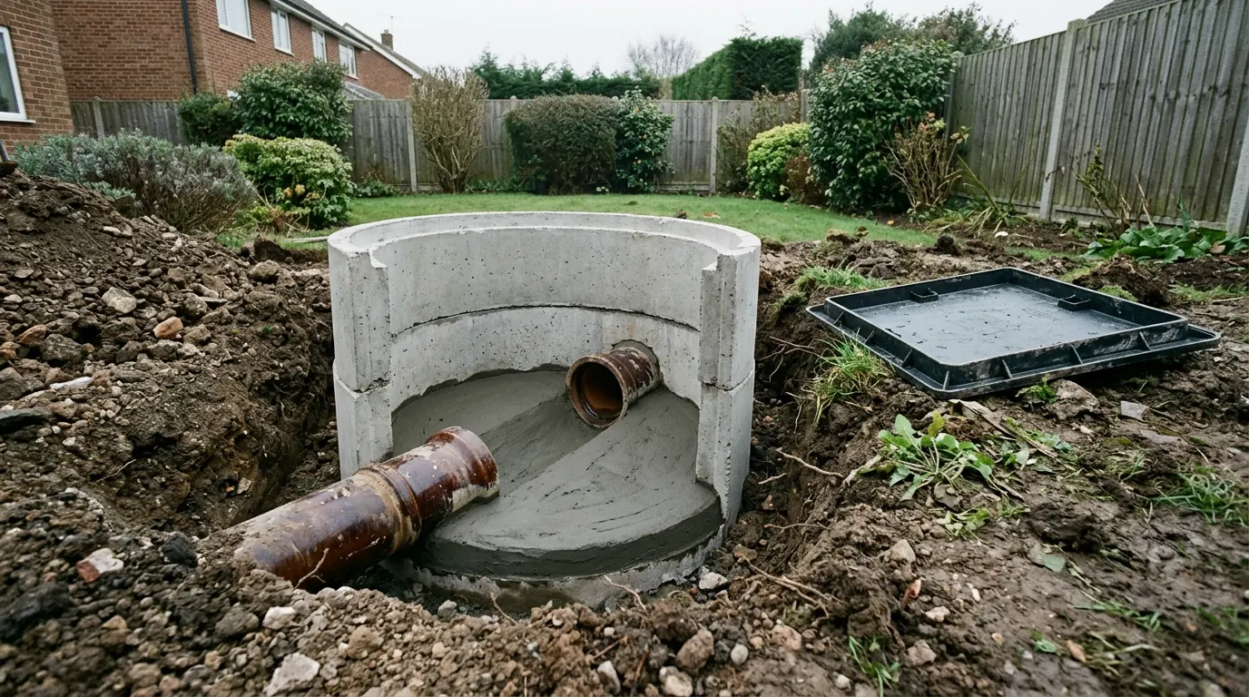
The mature trees in this town are concentrated in the historic core. The grounds of Hadleigh Hall on the north side of the churchyard hold mature specimen trees under a tree preservation order, as do the trees behind the Hall and in the grounds of the Deanery running down to the river. The appraisal’s own worry is that too many are over-mature and nothing has been underplanted to follow.
All of that sits on the alluvium, where trees are not the reason a foundation goes deep. Up the hill, on clay that genuinely shrinks, the trees are garden trees: individually unremarkable, frequently unprotected, and perfectly capable of driving a dig to two metres or changing the foundation type. So the tree question in Hadleigh has to be asked twice and in different terms. In the core it is a consent and root protection question, and any tree of size within a conservation area needs six weeks written notice to the council before work on it. On the estates it is a soil moisture question. What a protected tree does to the dig works through both.
Getting materials in
Hadleigh has something Lavenham and the Sudbury terraces do not: a back road.
Magdalen Road runs parallel to the High Street on its north eastern side and exists to service the rear of those properties. The appraisal is rude about it, calling it a desolate expanse of tarmacadam, and for a builder that is precisely its virtue. Where a plot backs onto it, muck can come out and materials can go in without passing through a listed shop or a hallway, which is a genuine saving on a job in the old town. Plots on the south western side of the High Street have no equivalent, because they run back towards Church Walk and the churchyard.
Benton Street is the awkward one: a ribbon of development on the road out, with a heavy goods ban that satellite navigation regularly overrides, so deliveries need arranging around the street rather than around your own drive. On the hill estates none of this applies: there is a driveway, a side gate and room for a grab lorry, and a skip can stand off the highway.
What is under the old town
Most of the town centre is an area of archaeological interest, and the trigger is the excavation rather than the building.
Hadleigh was founded in the Anglo-Saxon period and has been dug far less than Ipswich or Colchester, so the county record lists only a handful of actual excavations. That is a reason for caution rather than confidence. Within the designated area a householder application can attract a condition requiring a watching brief before foundations go in, usually a day or two and a report, discharged before you break ground rather than after.
Toppesfield Bridge, the southern crossing of the Brett, is both grade II* listed and a scheduled monument. Scheduled monument consent is a third regime again, separate from planning and from listed building consent, so anything close to it is checked rather than assumed.
What people build here
Two quite different job sheets, half a mile apart.
On the hill the work is the ordinary work: single storey rear extensions to open the back of the house into a kitchen, garage conversions, and loft conversions where the roof was cut rather than trussed. Two storey side extensions happen where the plot has the width, and on the outward facing edges they are the ones most likely to need a word about the key views.
In the old town the brief is usually smaller and slower. A modest rear addition kept subordinate to the original, an outbuilding brought back into use, or a reordering inside a plan that no longer suits how anybody lives. Where the building is framed, the reliable approach is to stand the new structure beside the old one and link the two rather than hang a new load on a frame that was never asked to carry it. Boundaries in the core are old and tight, so party wall notices come up on a fair share of the work, and they run on fixed statutory periods from the date of service.
Getting a price for a Hadleigh extension
Our team surveys the property before anything is quoted: where the plot sits on the slope and therefore what the ground is likely to be, access and whether there is a back route to it, the drain runs and manhole covers, the state of the existing footings where visible, the trees and whether they are protected, and the conservation area, listing and local list position on your address rather than on the town.
Most people already have drawings and want them built. Where they do not, we bring in the technician and the structural engineer, we prepare and manage the application to Babergh, we notify Building Control, and we run the job as main contractor through to the completion certificate. We carry £2m public liability cover and build to current Building Regulations. The survey and quotation cost nothing.
Last reviewed August 2026.
What the back of the house was, and is.
One of ours mid build and finished. No staging, and no borrowed images. Drag to reveal.
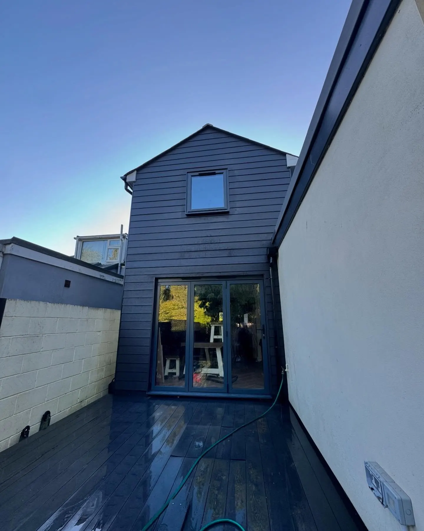
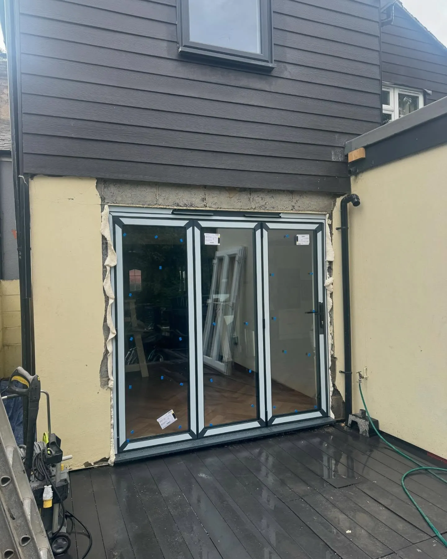 During
Finished
During
Finished