
Extensions in Wormingford
A very small population across a very large parish, where the default is that your house sits inside the designated landscape rather than outside it.
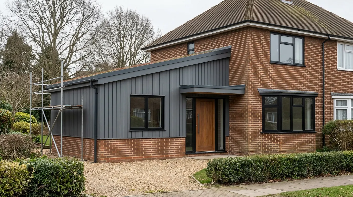 Fig. 01
Extending in Wormingford
A very small population spread across a very large parish, where the default position is that your house is inside the designated landscape rather than outside it.
Wormingford sits on the south bank of the Stour between Colchester and Sudbury, with the river as its northern edge and the county boundary running down the middle of it. The ancient parish covered 2,322 acres and the 2021 census counted 450 people living on it. That is a village in name and a scattering of hamlets, farms and roadside houses in practice.
Most of the parish lies on a high plain that drains north to the Stour and south towards the Colne, so the ground falls two ways from the middle. One of the lanes out of the village is called Sandy Hill, which is a fair description of what is under it. The houses run along Church Road, Main Road, Fordham Road and Little Horkesley Road, with Bowdens Lane, Packards Lane and Cockrells Road going off them.
Who decides, with two borders in sight
Colchester City Council, on the western edge of its own district, with a different county across the water.
Wormingford is a civil parish in the City of Colchester district, so applications are determined by Colchester City Council. That is worth stating plainly because this parish is a corner. Braintree District begins a short way west, and the far bank of the Stour is Suffolk and Babergh District Council, the authority for Nayland and the villages along it. Both of those lines meet at Bures a short way west, where the Suffolk half of the village applies to Babergh and the Essex half to Braintree.
If your garden runs down to the river, the neighbour whose land faces yours across it applies to a different authority in a different county, with a different validation list and a different building control service. Planning application fees themselves are set nationally, so those do not change at the river. Nearly everything around them does.
Inside the National Landscape by default
The designated boundary takes in the village itself, which is the opposite of the position in most of the parishes around here.
Dedham Vale was designated an Area of Outstanding Natural Beauty in 1970 and renamed a National Landscape in November 2023. The designation in law is unchanged, and planning documents still use the AONB term.
Here the boundary follows the valley and the valley is where the village is. The church end, the lanes running down to the river and the built part of the settlement fall inside it. The higher ground towards the south of the parish, out past the old airfield, falls outside. On most of the villages in this stretch of the Stour the designation catches an edge of the parish, as it does at Langham; on this one it catches the middle.
Land inside becomes what the legislation calls article 2(3) land. Several permitted development rights go with it, and the one that catches people here more than any other is cladding. Weatherboard and render are the local material language, so the obvious cheap improvement to a tired elevation is to board it, and boarding the outside of the house is excluded on designated land. It becomes a planning application, and on the whole it becomes a better detailed elevation as a result.
The rest of the exclusions are worth knowing before anything is drawn: a side extension at any width, a rear extension of more than one storey, and the roof enlargement class that covers dormers. The larger rear extension prior approval route is not available at all. Rooflights are the exception, because they fall under a separate class with no such exclusion, so one sitting within the plane of the existing slope stays permitted development, front slope included, provided it goes no more than 150mm beyond the plane of the original slope, no higher than the highest part of the roof, and is obscure glazed where it faces a side elevation. Our guide to permitted development rights works through the classes.
A conservation area smaller than most people assume
Designated in August 1980, and it covers a few hundred metres round the church rather than the village.
Wormingford has a conservation area, and it is tight. It sits around the church end and runs a few hundred metres in each direction, which means a great many houses in the parish are inside the National Landscape and outside the conservation area at the same time.
That combination is worth understanding, because the two designations do different jobs. The National Landscape removes rights. The conservation area does not remove any further ones on top of it; what it adds is control over demolition, a six week notice requirement before work to trees above the size threshold, and an officer assessing materials, proportions and detailing rather than only bulk. Our conservation area guide sets out what survives.

St Andrew’s is Grade I, and the buildings immediately around it carry their own listings. Listing does not remove the Part 1 rights that govern extensions and roof work, which is the most persistent misunderstanding in villages like this one. What listing adds is listed building consent, a separate control under separate legislation covering the interior as well as the outside, where carrying out work without it is a criminal offence rather than a breach to be tidied up afterwards. The listed building page covers curtilage structures, which on old farm plots here means barns, cartlodges and walls.
The ground is glacial, and glacial ground is not uniform
Sands, gravels, boulder clay, London Clay and alluvium, sometimes more than one of them under a single footprint.
Alluvium fills the ground next to the river. Above it there is river terrace sand and gravel, then boulder clay and London Clay on the plain. What that means in a trench is that bearing is not at a predictable depth across a plot, and neither is water.
The parish carries a striking illustration of the point. Wormingford Mere, on the low ground, is a kettle hole left by a block of ice that melted out of the retreating glacier around twelve thousand years ago. It covers about twelve acres, and a survey in 1981 found six metres of water sitting on top of fourteen metres of mud. That is an extreme case of a general condition: this landscape is full of hollows, old channels and pockets of soft material that were filled in by nature rather than by anybody who left a record.
The practical consequences run in both directions. Where a trench finds clean sand and gravel, bearing can be good at a sensible depth, but the sides will not stand without support and groundwater may need managing while the concrete goes in. Where it finds clay, depth is driven by seasonal moisture change and by any mature tree within influencing distance. Where it finds soft ground or fill, the design starts again with a different foundation rather than a deeper version of the same one.
The only honest answer at quotation stage is a trial hole. Our guide to extension foundations explains what each type solves and roughly what each one costs to build.
Water is the other half of it. The Environment Agency’s flood warning areas along this reach of the Stour are drawn around the settlements that sit down on the flood plain, and this village mostly stands above it, so for most of the parish the river is scenery rather than a constraint. The meadows at the bottom are a different matter, and so is the ground water sitting in the gravel a couple of metres down. Both get checked against the address rather than assumed from the village name, and our guide to flood zones and extensions in Essex explains how the levels are established where it does apply.
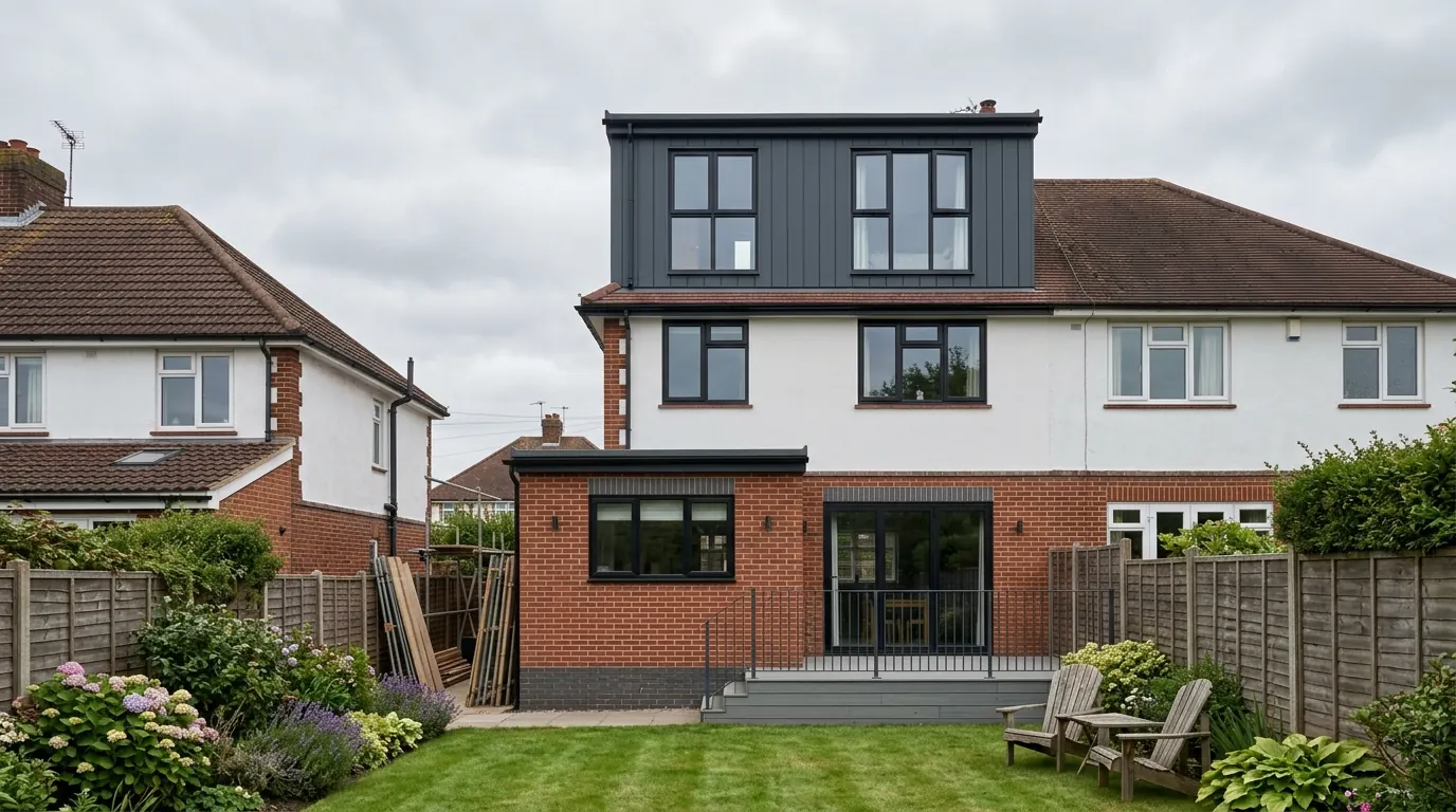
The airfield end of the parish
Concrete and hardcore in the ground at the south end, and gliders still flying off the top of it.
The south of the parish was RAF Wormingford. It began as a relief landing ground in the First World War, was rebuilt in 1942 and 1943 and flew American fighter groups from it, and the site is now used by the Essex and Suffolk Gliding Club.
Wartime airfields leave a specific legacy underground. Runways and perimeter tracks were laid in concrete, and after the war a good deal of that concrete was broken out and either carted away or pushed into the nearest convenient hollow. Hardstandings, dispersal pans, buried services and the crushed remains of all of it turn up on the plots around a former airfield, and a slab you did not know about is a day’s work if you found it at survey and a week if you found it with the digger.
The same ground behaves differently from undisturbed soil. Made ground is variable by definition, it settles unevenly, and it is not something to found on without knowing what is in it and how deep it goes.
Getting a lorry to the plot
Long drives, narrow lanes and a river valley that gets soft.
Properties out on the lanes and up the farm tracks are reached by surfaces built for a car. A fully loaded concrete wagon is a different proposition, and in a wet February the difference is the whole job. Where a delivery cannot reach the working area, everything is double handled, and double handling is time that has to be in the price rather than in a conversation afterwards.

Away from the mains, drainage is a private arrangement, usually a septic tank discharging to a drainage field or a package treatment plant. Systems are sized on the number of bedrooms, so adding one is not a neutral event.
What people build in Wormingford
Plot size gives with one hand and the designation takes back with the other.
Single storey rear extensions lead, because on designated land they are the main thing still capable of being permitted development, and because the gardens absorb them without the plot looking built out.
Annexes and outbuilding conversions come next. There is a lot of redundant agricultural building in this parish and some of it is worth converting, though inside the designated area an outbuilding sited more than twenty metres from any wall of the house is capped at ten square metres in total, which changes the answer on a long plot entirely. The planning question on an annexe is ancillary use, since accommodation occupied as a genuinely independent dwelling is a different proposal with a different answer.
Roof work is nearly all rooflights rather than dormers, for the reason set out above, and on a steeply pitched old roof that is usually the better answer anyway.
Questions we get asked in Wormingford
Is the whole parish in the National Landscape?
No. The village and the ground down to the river are, and the higher land towards the south is not. The line is mapped rather than following a road, so it is checked on your address.
Can I clad the house to tidy it up?
Inside the designated area that is a planning application rather than permitted development, whatever the material. It is frequently approved, and it is not something to start on a Saturday.
Is my house in the conservation area?
Probably not, unless you are near the church. Most of the parish sits outside it and inside the National Landscape, which is a different set of consequences.
Will the lane take a concrete wagon?
Sometimes, and after a wet week often not. It is established at survey and priced accordingly rather than raised later as an extra.
Getting a price for a Wormingford extension
We are based at West Bergholt, over the same ridge, so this is home ground rather than a name on a coverage map.
Our team comes out and looks at what the ground is doing at your end of the parish, whether there is made ground under the plot, how a wagon reaches the working area, what the drainage arrangement is, and exactly which designations land on your address. Most people who call us already have drawings and permission and want a builder to price the work and build it. That is the ordinary job here, and we are glad to work to somebody else’s plans. Where the drawings do not exist yet, we bring in the technician who draws it and the structural engineer who calculates it, we handle the application with Colchester City Council, we notify Building Control, and we run the job as main contractor.
We carry £2m public liability cover and build to current Building Regulations, through to the completion certificate. The survey and the quotation cost nothing.
Last reviewed August 2026.
What the back of the house was, and is.
One of ours mid build and finished. No staging, and no borrowed images. Drag to reveal.
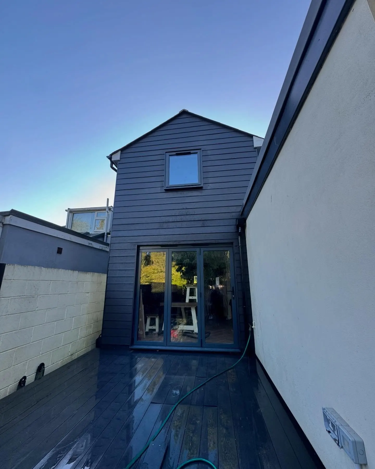
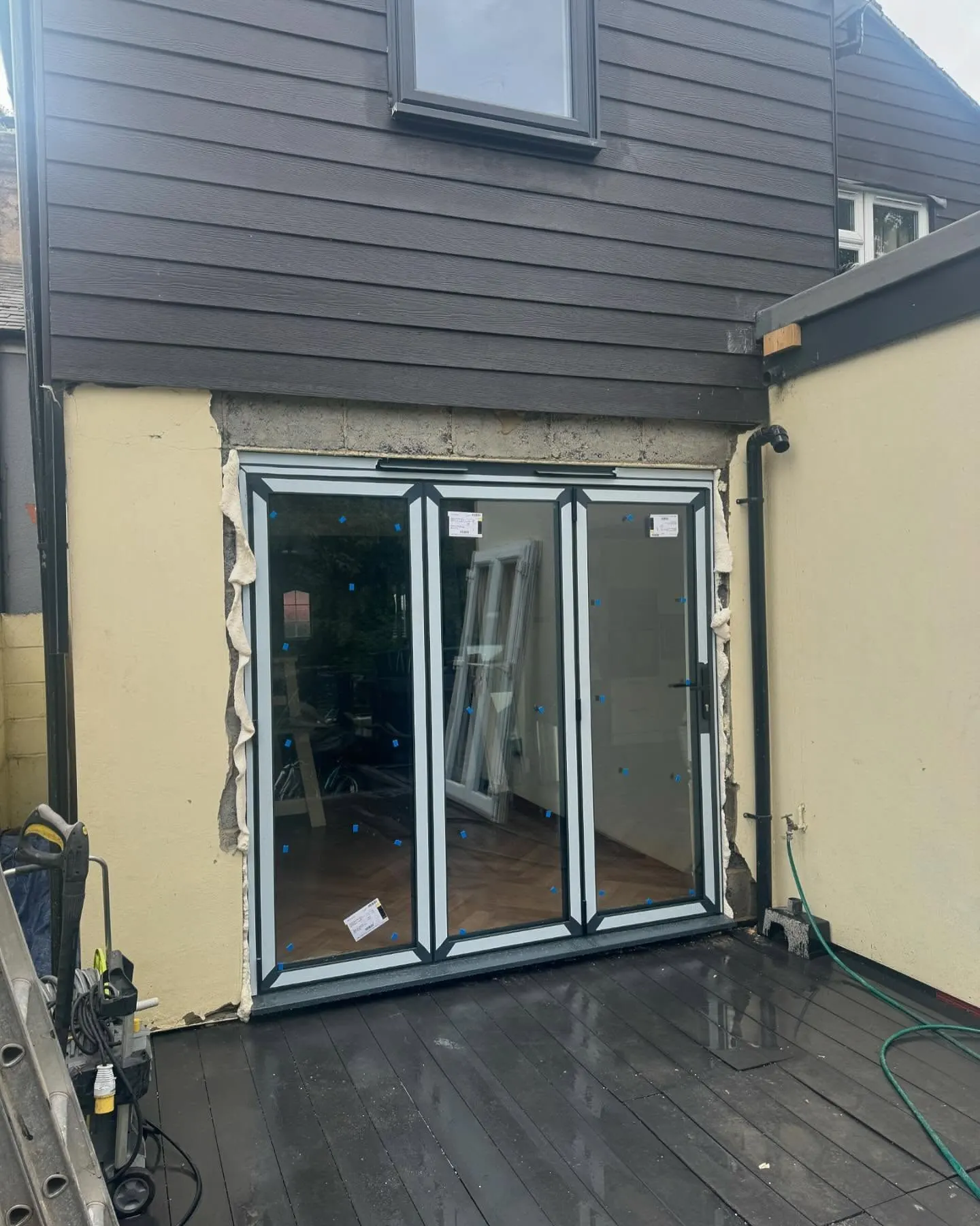 During
Finished
During
Finished