
Extensions in Langham
A parish with a designated landscape along one edge and new estate housing along another, and the line between them decides your planning route.
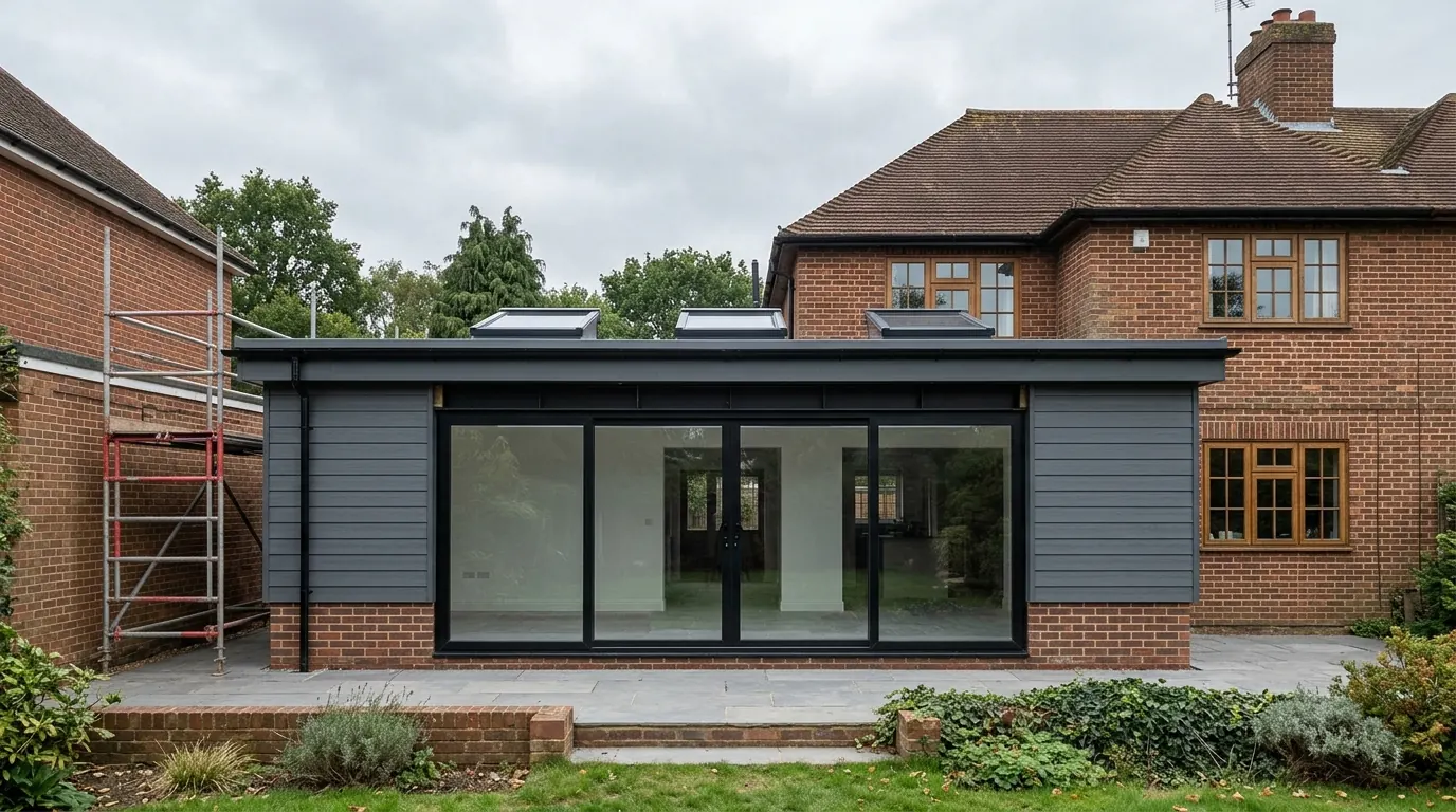 Fig. 01
Extending in Langham
A parish with a nationally designated landscape along one edge, farmland through the middle, and almost every house looking out at a field.
Langham covers 2,977 acres between two watercourses. The Stour forms the northern boundary and Salary Brook the southern one, and the ground in between rises away from the river and then falls again. At the 2021 census 1,032 people lived here, in something like 450 households.
What the parish does not have is a middle. There is no High Street with the shops on it and the houses behind. The arable land bounded by School Road, Wick Road, Park Lane and Moor Road sits in the centre of the parish and the housing is arranged around it, along the lanes, in short runs and small groups, with newer building added at the edges of those runs over the last sixty years.
That shape decides most of what follows. A Langham extension is usually visible from open country, which is a different planning conversation from the one you have on a street where the house opposite is the same age as yours.
Who decides
Colchester City Council, and the boundary question here is the designated landscape rather than the district line.
Langham is a civil parish in the City of Colchester district, so applications are determined by Colchester City Council. Langham Parish Council is a consultee and does not decide, though on a parish this size a parish council comment carries further than it does in a suburb.
Essex County Council is the highway authority for the lanes, and the same council is the lead local flood authority, which matters more here than it sounds and is dealt with below.
The designated line runs across the parish
The north end is inside the Dedham Vale National Landscape. The village itself is not, and the difference is worth real money.
Dedham Vale was designated an Area of Outstanding Natural Beauty in 1970 and renamed a National Landscape in November 2023. The legal designation did not move with the name and planning documents still use the AONB term.
The boundary follows the valley, so it takes in the low ground and the slopes at the top of the parish, towards the church and the river, and leaves the bulk of the housing outside. Inside the line a property becomes what the legislation calls article 2(3) land, and several permitted development rights simply stop: a side extension, a rear extension of more than one storey, cladding the outside of the house, and the roof enlargement class that covers dormers. The larger home extension prior approval route is unavailable there as well. Our guide to permitted development rights takes the classes in order and covers the prior approval route that is withdrawn here.
Outside the line, all of that is intact, which is not the position at Wormingford where the boundary takes in the village itself. Most Langham addresses are outside it.
Being outside the boundary is not the same as being unaffected
The duty on the council changed on 26 December 2023, and it reaches beyond the line on the map.
Section 85 of the Countryside and Rights of Way Act 2000 used to require a public body to have regard to the purpose of conserving and enhancing the natural beauty of a designated landscape. The Levelling-up and Regeneration Act 2023 rewrote that duty for England: the authority must now seek to further that purpose. It is a short edit and it is not a small one, because a duty to further something is harder to discharge by mentioning it in a paragraph near the end.
The duty bites on decisions affecting the designated area, and an application on land outside the boundary can affect it. On a parish laid out like this one, where a garden backs onto a field and the field runs up to the valley, that is not a theoretical point. It shows up as questions about ridge height, roof pitch, where the glazing goes and what the roof is covered in, on a plot that is nowhere near the river.

None of that stops the work. It does mean a proposal drawn without looking north is one that gets redrawn.
No conservation area is recorded over the village, and no Article 4 direction is either. Both are checked against your address rather than the postcode, and the council will confirm it for nothing, which is the only answer worth having before anything is drawn.
The housing, by period
Old farmhouses on the lanes, roadside building through the middle of the last century, and estate housing still going in.
The oldest fabric is scattered: farmhouses, cottages and former agricultural buildings out on the lanes and at the north end near St Mary the Virgin, which has twelfth century work in it and turns up in Constable’s painting of the glebe farm. Those are solid walled buildings, frequently timber framed under later brick or render, and a few carry listing.
Between the wars and after them the building went along the roads. Pairs and short terraces of semi detached houses on School Road, Wick Road and Moor Road, with generous gardens by later standards, cavity walls from the 1930s onwards and cut roofs rather than trusses on the earlier ones. That stock takes a rear extension comfortably and a loft conversion depends entirely on what the roof was built from.
From the 1960s the closes appeared, and building has continued. Discovery Way carries the name of an apple raised in this parish by a farm worker called George Dummer, which tells you what the land was doing before the houses arrived. On the newest plots the garden is the constraint, the roof is trussed, and the developer may already have used part of the allowance the house was born with. Our guide to what the original house means explains why that matters and how it is established.

Old orchard ground, and what it does underneath
The tree that has been taken out is a bigger foundation problem here than the tree that is still standing.
Ground in this parish varies from river terrace gravel and alluvium near the Stour to sands and gravels on the slope and London Clay on the higher farmland. On the clay, foundation depth is set by seasonal moisture change and by anything growing near the trench.
The particular Langham version of that problem is fruit growing. This was orchard country, and orchards get grubbed out. Clay that has had trees drawing water out of it for forty years is dry and shrunken, and when the trees go it slowly takes that water back and swells. Heave acts upwards, it is stronger than settlement, and it will lift a foundation and crack an extension years after everyone has forgotten what used to be on the plot. The same applies to a removed hedgerow line, which on land that has been reorganised for arable is easy to miss on the ground and obvious on old mapping.
The engineering answer is not a deeper trench on its own. It is usually a foundation designed with a compressible void former beneath the slab and a slip membrane on the side of the concrete, so that the ground can move without taking the building with it. That costs more than a plain trench fill and it costs a great deal less than repairing what happens without it. Our guides to extension foundations and Essex clay and heave go through the types and what each one is for.
The water that causes trouble comes off the fields
Langham is named in a flood alert area for the Stour, but the river is not what floods most of the parish.
The Environment Agency’s flood alert area for the Stour from Sudbury to Dedham names Langham among its settlements. An alert area is a catchment-wide warning rather than a property-level one, and the river itself only reaches a small number of addresses at the bottom of the parish.
What actually causes trouble is surface water. Rain coming off arable land and down a lane finds the ditch, and if the ditch is silted, piped without capacity or built across, it finds a garden instead. The parish council keeps its own record of where the village floods, which is a fair indication of how routine it is.
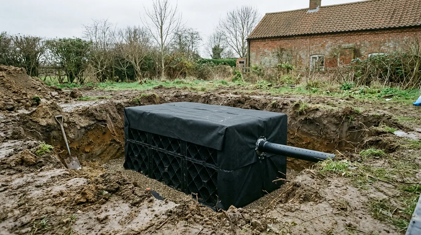
For an extension the consequence is practical. A new roof and a new terrace produce run off that has to be taken somewhere designed rather than somewhere convenient. Whether a soakaway will work is settled by a percolation test, and on clay the answer is often that it will not. If the ditch on your boundary is yours to maintain, and on a lane frontage it usually is, that responsibility does not pause because there is a digger on site.
Anglian Water runs the water recycling centre serving the village, and its capacity is a live question for large housing schemes. It is not a constraint on a householder extension, and anyone telling you your extension is held up by it has confused two different arguments.
What people build in Langham
Single storey at the back, and a lot of work on houses built within living memory.
Rear extensions to open a kitchen into a living space lead, on the roadside semis and on the estate housing alike, because the gardens take them and because outside the designated line the depth allowances are intact.
Two storey side extensions come next on the detached plots, where the design work is nearly all in the roof: eaves lining through, ridge set below the original, and the mass kept off the boundary. Garden rooms and home offices follow, helped by plots that are wide rather than deep.
On the older buildings out on the lanes it is different work altogether, closer to repair than to addition, and where a building is listed the second consent regime applies alongside the first. Our page on extending a listed building sets out what that covers.
Questions we get asked in Langham
Am I in the National Landscape?
Most of the parish is not, but the north end is, and the boundary follows the valley rather than any road. It is checked on your address first, because it decides whether several rights exist at all.
If I am outside it, does it affect me?
It can. The council has a duty to seek to further the purposes of the designated landscape, and that applies to a decision affecting it rather than only to land inside it. On a plot with a long view north it is worth designing for.
There used to be an orchard here. Does that matter?
On clay it matters a great deal. Ground dried by trees for decades swells when they go, and the foundation has to be designed for that rather than simply dug deeper.
Will a soakaway work in my garden?
Sometimes, and on the clay often not. A percolation test settles it, and it is done before the drainage is designed rather than after it fails.
Getting a price for a Langham extension
We are at West Bergholt, round to the west on the other side of the valley, so this is a short run rather than a postcode on a coverage list.
Our team comes out and looks at the ground, what used to grow on it, the ditch on the frontage, where the designated boundary falls in relation to your plot and what the roof of the house is actually made of. Most people who call us already have drawings and permission and want a builder to price the work and build it. That is the ordinary job here, and we are glad to work to somebody else’s plans. Where the drawings do not exist yet, we bring in the technician who draws it and the structural engineer who calculates it, we handle the application with Colchester City Council, we notify Building Control, and we run the job as main contractor.
We carry £2m public liability cover and build to current Building Regulations, through to the completion certificate. The survey and the quotation cost nothing.
Last reviewed August 2026.
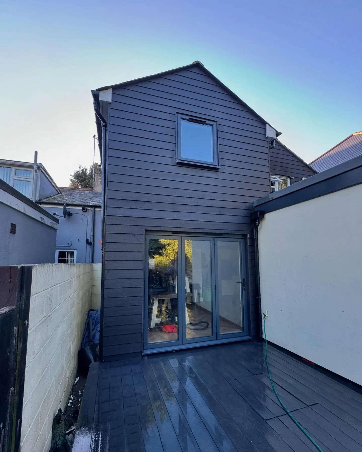
The same wall, before and after.
A two storey rear addition on a job in the Colchester area, photographed as it went. Drag to reveal.
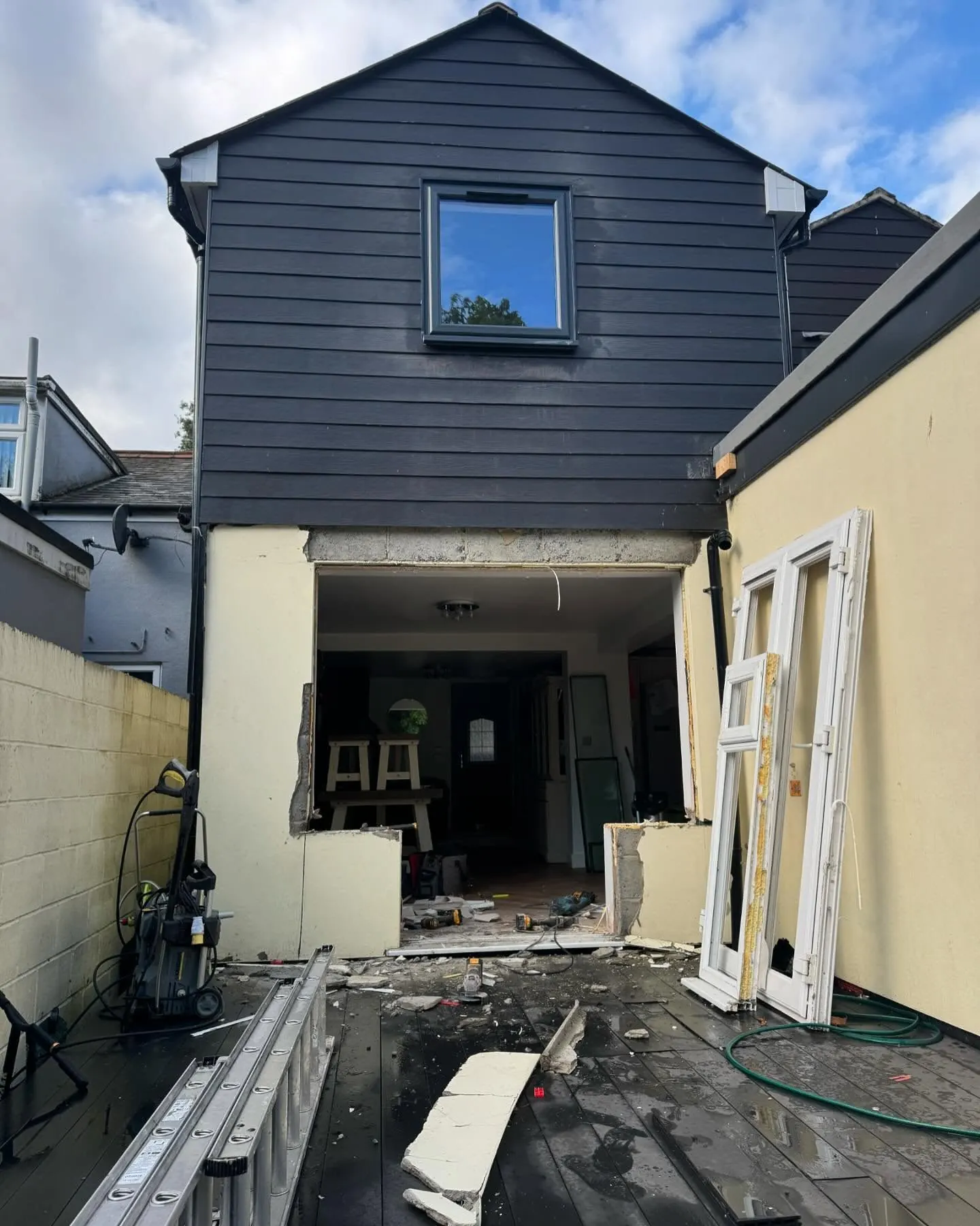 During
Finished
During
Finished