
Extensions in White Colne
Which council you are dealing with is the most useful thing anyone can tell you here, and it is not the one the postcode suggests.
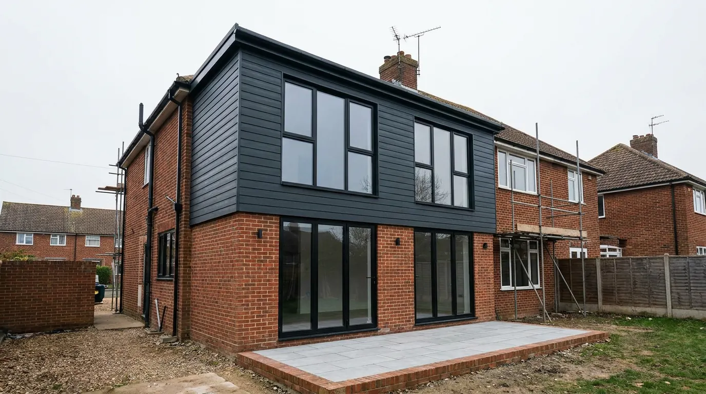 Fig. 01
Extending in White Colne
The most useful thing anyone can tell you about building here is which council you are dealing with, and it is not the one most people assume.
White Colne is a small village on the north side of the Colne, opposite Earls Colne and about four miles east south east of Halstead. The 2021 census recorded 501 people. It is roughly seven and a half miles from Colchester, it has a Colchester postcode, and its planning applications are decided by Braintree District Council.
That is not a technicality. Two miles down the same road, at Chappel and Wakes Colne, the authority is Colchester City Council. The district boundary crosses the A1124 between the two, so a village that looks and feels like its neighbours is on a different planning system: a different application portal, a different fee schedule, a different validation checklist, a different local plan with different policies, a different building control team, a different local list of non-designated heritage assets, and a different set of officers.
An application submitted to the wrong authority is not simply forwarded on. It is returned, and the weeks are gone. We confirm the authority from the address before anything is drawn, on every job.
What Braintree’s plan means for your extension
The adopted development plan here is the Braintree District Local Plan 2033, and White Colne appears in it as part of an inset map shared with Earls Colne.
The plan comes in two sections. Section 1 sets the strategic framework jointly with Colchester and Tendring, which is why the three authorities’ strategic policies read alike. Section 2 is Braintree’s own, and it was adopted in July 2022. That second section carries the detailed development management policies your householder application is actually assessed against, and they are Braintree’s, not Colchester’s.
The practical effect for a homeowner is small but real. Fees and validation requirements differ. Braintree’s own design and amenity policies use their own wording and their own tests. Tree work in the conservation area is notified to Braintree. Building Control, if you use the local authority rather than a registered building control approver, is Braintree’s team. None of this is difficult, and all of it goes wrong quietly if the job was set up on the assumption that this is Colchester.
The conservation area and the ribbon
The village has two quite different halves, designated and undesignated, and the planning conversation is different in each.
White Colne’s conservation area was designated on 27 November 1969, the same day as Earls Colne’s, which makes it one of the older designations in the district. It covers the historic core, where the properties are arranged around a triangular green rather than strung along a road. St Andrew’s church stands there, an eleventh century building with Roman brick quoins in its nave, given a west tower and spire in the fourteenth century and then restored so thoroughly between 1866 and 1872 that little of the original work is visible.

Inside that boundary the land is article 2(3) land under the permitted development order. Side extensions and rear extensions of more than one storey stop being permitted development. Cladding in render, timber, tile, stone or plastic stops being permitted development. Roof enlargement, which includes any dormer, stops being permitted development under Class B. Rooflights in the plane of the existing slope are not removed, because the class covering other roof alterations carries no exclusion on designated land, provided they project no more than 150mm beyond the plane and sit no higher than the highest part of the original roof. There is one condition on those rooflights that is easy to miss, because it is not a designation rule at all: a roof window in a slope forming a side elevation has to be obscure glazed and non-opening below 1.7 metres above the floor. That applies inside the conservation area exactly as it applies to an undesignated house along the A1124.
Outside the core, the village is ribbon development along the A1124. That is the other half of the story, and it is governed by policy rather than by designation. Braintree’s own evidence base is explicit that further expansion or intensification of the linear development along these roads would not represent cohesive development, because it stretches the settlement away from the facilities that serve it.
For a householder that matters less than it sounds. Extending your own house is not the same proposition as a new plot in the ribbon. But if the plan involves splitting a long plot, putting up a separate dwelling, or an annexe that could read as one, that policy position is what the proposal is running into, and it is better understood before drawings are paid for than after.
Long thin plots, and why people build backwards
Ribbon development produces a particular plot shape, and it decides what is worth building.
A house built along a road frontage generally has narrow width and a lot of depth. There is often no side to extend into, because the neighbour’s boundary is close and the frontage was divided evenly. What there is, usually, is garden.
So the work here tends to go back rather than sideways. A single storey rear extension, sometimes a deep one, taking a kitchen and a dining room and a utility into one room across the back of the house. Where the plot is deep enough, a garden building or an annexe at the far end, which on a narrow plot can be a better answer than adding more to a house that is already the full width of its ground.
Depth brings its own limits. A deep single storey extension makes rooms that daylight cannot reach from the back wall alone, so rooflights or a glazed roof section stop being a nice idea and become the thing that makes the room work. It also affects the neighbours’ daylight, which is where the informal 45 and 25 degree tests get applied, and how those are applied varies by district, which is another reason to know whose district you are in.
Building backwards also brings the work closer to a boundary than people expect. Excavating within three metres of a neighbour’s building and to a lower depth than their foundations engages the Party Wall etc. Act, which sits outside the planning system entirely and runs on its own statutory clock. On a narrow frontage plot with the neighbour’s flank a couple of metres away, that is the ordinary position rather than an unusual one, and it is a notice to serve rather than a permission to win. What the Act actually requires is worth reading before the dig is priced.
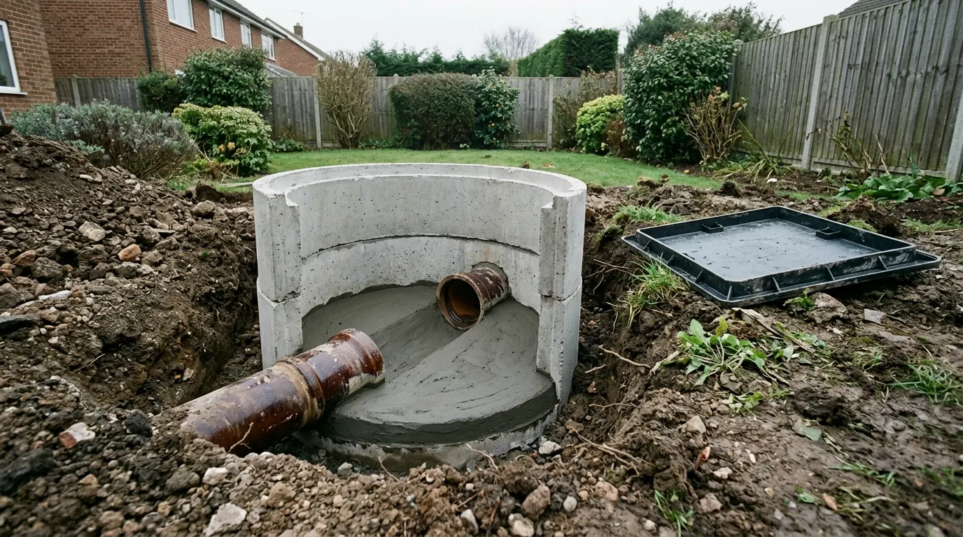
The frontage plots have a second issue that the core does not. The A1124 is the main artery from the A12 up the Colne valley, and it carries real traffic despite being signed as a scenic route. Parking a skip, standing a delivery lorry and getting a concrete wagon in on a fast road with no verge to spare is a planning exercise in itself, and where there is no off-street space it may mean a highway permit.
Ground and water
Valley side ground, with a river at the bottom of it and the flood warning area named after the village.
White Colne sits on the north slope above the Colne. The higher ground carries boulder clay, and towards the river that gives way to terrace deposits and softer alluvial material, which can be wet and variable and will not always hold a trench open long enough to pour.
The village is named among the low lying places most at risk in the Environment Agency’s flood warning area for the Colne between Halstead and Lexden. If your property sits in Flood Zone 2 or 3 a proportionate flood risk assessment can be required for an extension. What is not applied to a householder extension is the sequential test, because national policy treats it as minor development, and that is a distinction worth knowing because it is where people assume the worst unnecessarily. Our guide to flood zones in Essex sets out the difference.
Away from the river, clay and trees set the foundation depth. The Colne valley here has substantial woodland and hedgerow oaks, and depth is calculated from the species, its mature height and its distance from the new work rather than from what looks close on the day. On a clear plot a foundation is often in the region of 900mm to 1.2 metres. Within influencing distance of a mature oak, two metres and beyond is routine, and where that becomes uneconomic the engineered answer is usually a piled foundation with a suspended slab over a compressible void former.
The housing, and what each type takes
A small designated core, a long undesignated ribbon, and farm buildings behind both.
Around the green the buildings are old, close together and frequently listed or adjoining something listed. Extensions there are design conversations about materials, roof form and the relationship to the street, and listing, where it applies, adds listed building consent as a second regime covering the interior. Listing does not remove your permitted development rights, which is the misunderstanding we correct most often.
Along the road the stock is more varied and more recent: interwar and post-war houses, bungalows, and later individual builds on frontage plots. This is where most of the work is. Bungalows in particular are worth a proper look here, because the plots are deep and a bungalow can often gain more from going up into the roof than from spreading further back. Whether that is possible comes down to the roof structure and the ridge height, and our page on extending a bungalow covers how that gets assessed.

Behind both are the farmsteads and converted agricultural buildings. Where a barn was converted under the agricultural to residential route, the original permission commonly carries a condition removing permitted development rights, so the decision notice is the first document to read rather than the last.
Questions we get asked in White Colne
Which council decides my application?
Braintree District Council, despite the Colchester postal address. Chappel and Wakes Colne, two miles east, are Colchester City Council. The boundary runs between them.
Am I in the conservation area?
Only if you are in the historic core around the green. The ribbon along the A1124 is largely outside it, and the boundary is not obvious from the street. We check it on the address.
Can I build a second house on my plot?
That is a different application from an extension, and Braintree’s policy position on intensifying the ribbon development along these roads is the first thing it runs into. It is worth a realistic conversation before any money is spent on drawings.
Does being near the river mean I cannot extend?
No. A flood risk assessment can be required in Zone 2 or 3, but the sequential test is not applied to a householder extension.
Getting a price for a White Colne extension
We are based at West Bergholt, further down the same valley, and we work on both sides of this district boundary regularly enough to know which forms and which policies apply on which side of it.
Our team surveys the property properly: the ground on your plot, the trees and their species, the drain runs, the existing footings where they can be seen, the access off the main road, and the designation and authority position on your specific address. Most people who call us already have drawings and permission and want a builder to price the work and build it. That is the ordinary job here, and we are glad to work to somebody else’s plans. Where the drawings do not exist yet, we bring in the technician who draws it and the structural engineer we work with to calculate it, we manage the application with Braintree District Council, we notify Building Control, and we run the job as main contractor.
We carry £2m public liability cover and everything is built to current Building Regulations, through to your completion certificate. The survey and the quotation cost nothing.
Last reviewed August 2026.
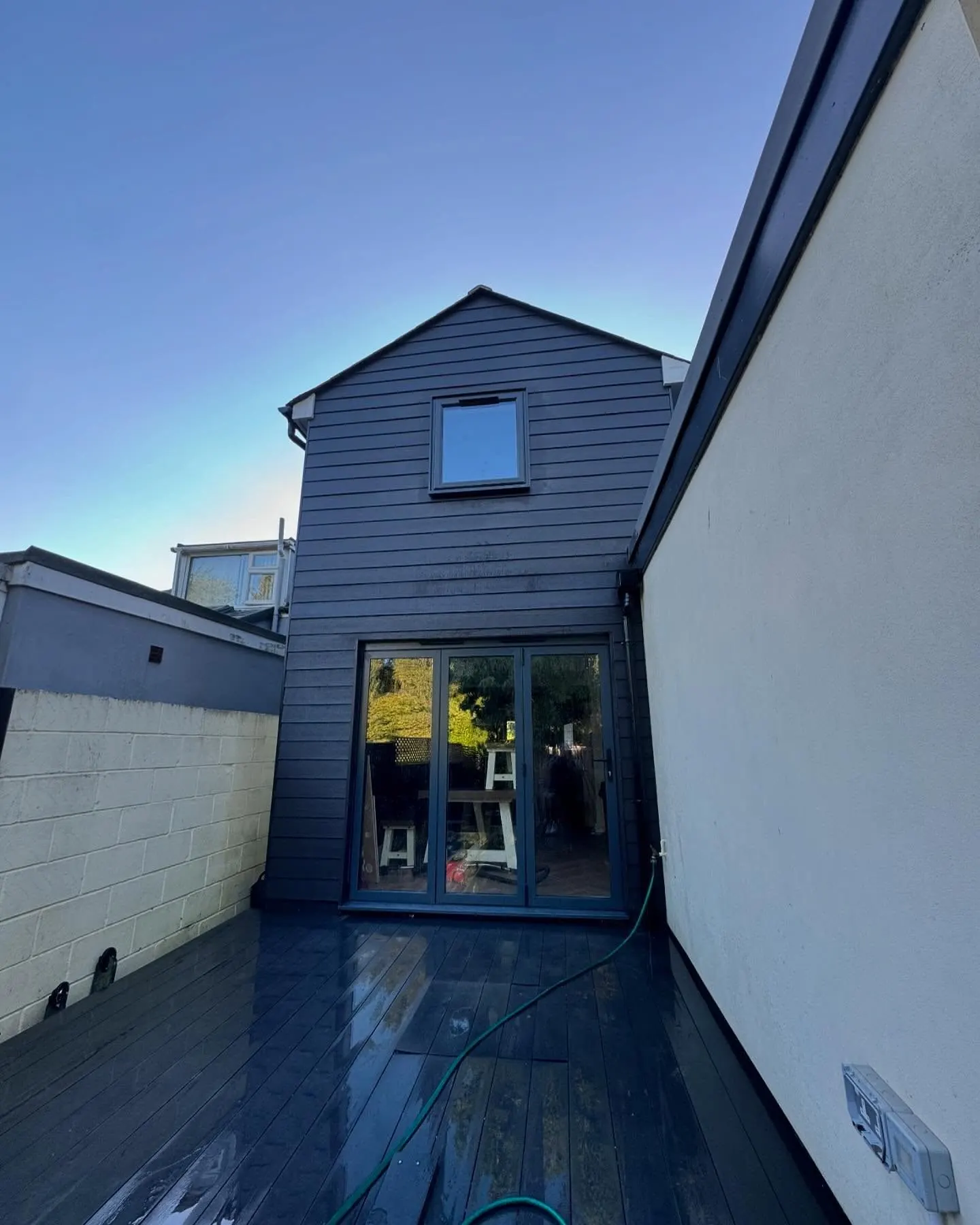
What the back of the house was, and is.
One of ours mid build and finished. No staging, and no borrowed images. Drag to reveal.
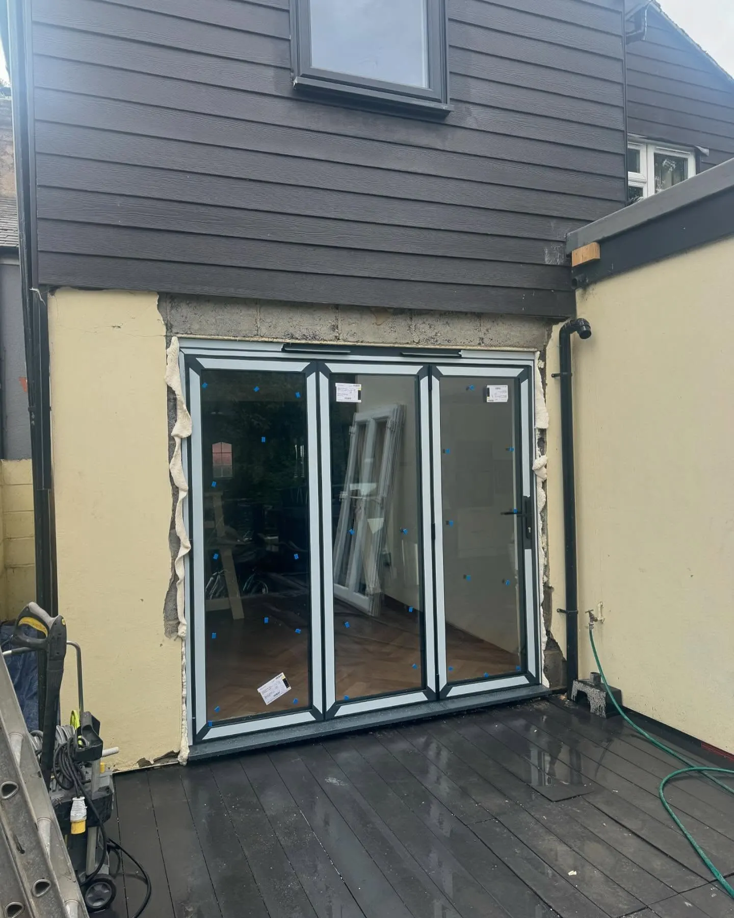 During
Finished
During
Finished