
Extensions in West Bergholt
The village we work out of, which means its planning documents have been read rather than skimmed.
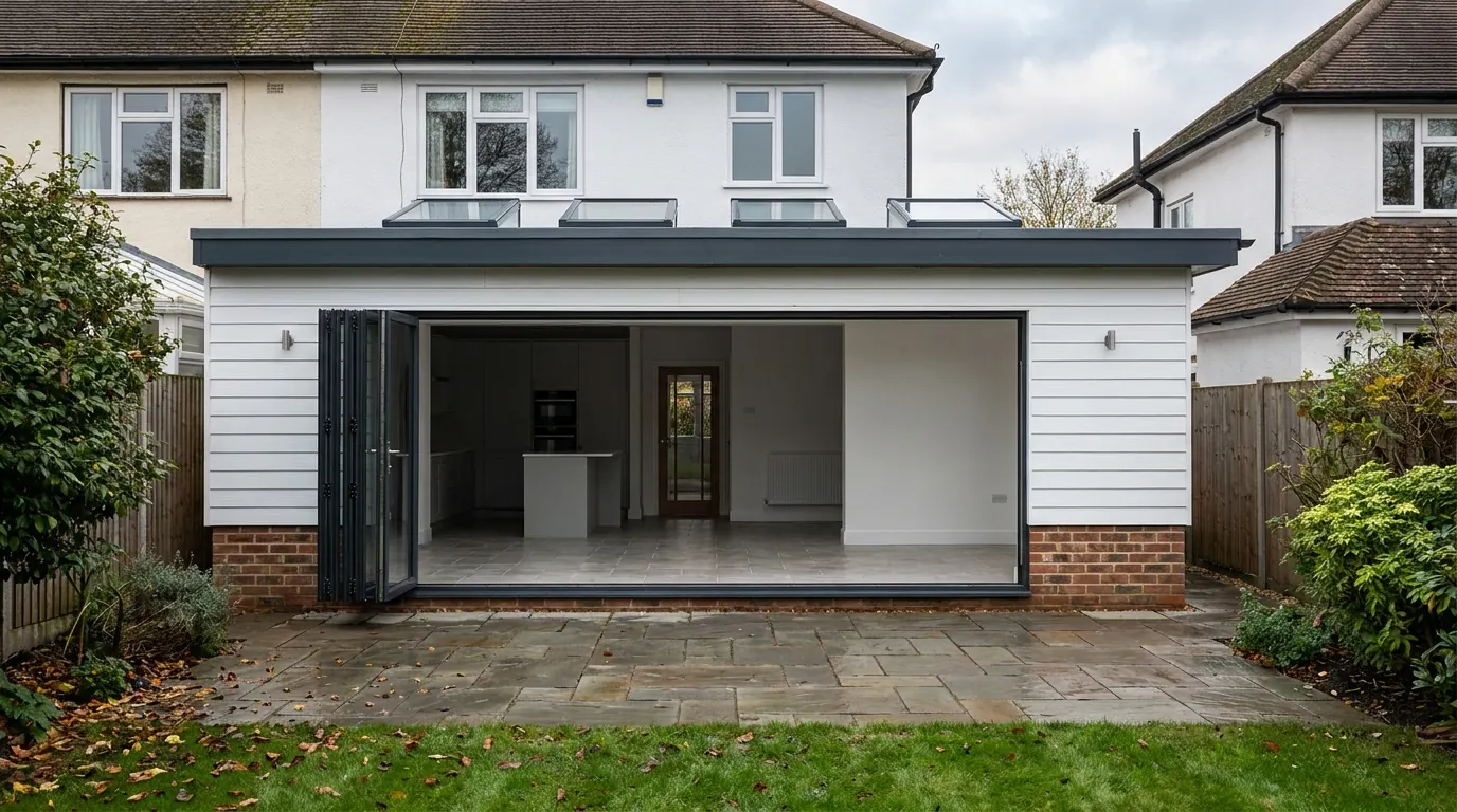 Fig. 01
Extending in West Bergholt
This is the village we work out of, so the survey visit is five minutes rather than an hour on the A12.
West Bergholt sits about three miles north west of Colchester, on the rising ground between the Colne and St Botolph’s Brook. The 2021 census put the parish at 3,310 people, which makes it one of the larger villages in the district and a genuinely suburban one in places, despite the farmland starting at the end of most gardens.
Being based here is not a marketing line about local knowledge. It means we have read the village’s own planning documents rather than skimmed them, we know where the ground changes between one end of Chapel Road and the other, and we know which parts of the village have a policy that specifically mentions house extensions. Most of Colchester’s villages do not.
A village built in layers, and you can date yours from the street
Five distinct phases of building sit inside one settlement boundary, and each one extends differently.
The oldest houses are scattered. Bergholt Hall and Cooks Hall were the manorial centres, with farmsteads spread along the lanes rather than gathered round a green. Then the population nearly doubled through the nineteenth century, from 552 in 1801 to a peak of 1,067 in 1881, and most of that growth was cottage building on former heathland south of Chapel Road: small weatherboarded houses of two to four rooms, with smallholdings behind them.
Daniell’s brewery on Colchester Road is why the village grew when it did. The firm built around fifty cottages for its own workers by 1900, which is why the Colchester Road frontage reads as a planned terrace rather than an organic one.
After that come the twentieth century phases. Council housing arrived in the 1950s, including the Bercolta flats on Mumford Road. Infill development ran more or less continuously from 1961 to 1981 and is what gives the village its suburban look now. Firmins Court and Sackville Way are mid 1970s private estates. Then the brewery itself closed as a bottling plant in 1982, part of the complex came down in 1989, and the surviving buildings were converted into houses and flats.
What that means practically:
- The nineteenth century cottages are small, often weatherboarded over a light frame, with shallow footings and no cavity. They take a rear addition well, provided the new work is designed to stand on its own rather than lean on what is there.
- The 1950s council stock and the 1961 to 1981 infill is the bulk of the extension work in the village. Solid gardens, side access on a good proportion of it, brick cavity walls, and roofs that are cut rather than trussed on the earlier ones.
- The mid 1970s estates brought trussed rafter roofs, which is the single fact that decides whether a loft conversion is straightforward or a structural job. A trussed roof cannot simply have its middle cut out.
- The brewery conversions are a different legal animal. Leasehold flats, shared structure and management arrangements sit on top of the planning question, and the first thing to read is the lease.
There is no conservation area here, and that catches people out
West Bergholt is not designated. What it has instead is thirty-four listed buildings and a set of local policies with real teeth.
No conservation area is designated over West Bergholt. Neither the village’s Design Statement nor its Neighbourhood Plan refers to one, and the village does not appear among the district’s designated areas. Chappel, Great Tey, Fordstreet, Copford Green and Wormingford all have one. This village does not, and the practical effect is that your permitted development rights under Class A and Class B are not cut back by article 2(3) land in the way they are three miles up the road.

That is worth confirming on your own address rather than taking on trust, because boundaries get reviewed. It is the first check we do.
Listing is the designation that does exist here. The Village Design Statement records thirty-four buildings listed for architectural merit in the village. The only Grade I is the Church of St Mary in Hall Road, Saxon in origin and standing on its own away from the modern village. Cooks Hall and Horsepits Farmhouse, both on Cooks Hall Road, are Grade II*. The White Hart on Nayland Road is Grade II.
If yours is one of them, listing adds listed building consent as a second regime covering the building’s special interest, inside as well as out. It does not remove your permitted development rights, which is the way round most people have it.
The policy that names your extension
The West Bergholt Neighbourhood Plan was made in October 2019, with minor amendments in October 2024, and one of its policies is written specifically about additions to existing houses.
Policy PP10 covers design. Unlike most neighbourhood plan design policies, which are aimed at housing sites, PP10 says in terms that it applies to any additions or extensions to existing dwellings, and it sets out what those will be expected to do.
Two of PP10’s requirements are unusual and both cost drawing time rather than build cost. The first is that a proposal must have an acceptable visual impact on the valley sides and give consideration to views across the village, which is a real constraint on anything on the slope down towards the Colne or the brook. The second is that the application must show the impact on adjacent buildings through accurate street elevations, meaning the neighbours’ houses drawn properly and to the same scale, not a single elevation of yours floating on white paper.
PP10 also asks that buildings respect their surroundings in plot width, layout, building lines, materials, height, proportion, scale and massing, and that boundary walls, fences and gates be detailed to match what is already there. A made neighbourhood plan is part of the development plan, so this is not advisory. It is what the case officer measures your drawings against.
What the Village Design Statement asks for, in detail
The 2011 Design Statement is the document PP10 points at, and it gets specific in a way that is genuinely useful once you know it.
It divides the village into character areas that the parish still uses to judge extension proposals: the Village Core around New Church Road and the Heath, the commercial stretch of Chapel Road, the twentieth century planned housing on Mumford Road and around Pirie Road and Valley Crescent, the older organic pattern of the Lanes at Spring Lane, Bourne Road, Queens Road and Chapel Lane, the linear edges on Lexden Road, Colchester Road and Albany Road, and the 1980 Brewery and Garthwood development.
Its guidance points that bear directly on a house extension are worth knowing before a drawing is started:
- Materials should be selected from those traditionally used in the village. It names clay peg tiles, soft Essex red brick and softwood window framing, and it asks that ironmongery, meter boxes and rainwater fittings be considered too.
- New or replaced roofs should keep the existing height and pitch.
- Dormers should be used sparingly and stay subservient. On a village where a lot of loft work is dormer work, that is the sentence that shapes the design.
- Rainwater goods should be black and shown on the submitted elevations.
- Soil and waste plumbing should run internally rather than on the outside of the building, and balanced flues should not sit on a street elevation.
None of that adds meaningful cost if it is designed in. All of it adds delay if it is picked up at validation and the drawings have to go back.
Ground, and why it changes across one village
The parish falls from about 50 metres on the northern plateau to under 20 metres along the watercourses, and the subsoil changes with it.
On the southern terraces, towards the Colne and the brook, the ground is silty clay with overlying sand, gravel and loam. On the higher ground to the north it is stiffer, colder clay with flint, chalk and sand over it. Two houses at opposite ends of the village are not the same foundation job, and a price built on one is not a price for the other.
Clay is shrinkable, and the thing that drives depth is trees rather than the clay on its own. West Bergholt has a great deal of mature planting: Hillhouse Wood, Spring Wood and Grove Wood at the edges, hedgerow oaks on the field boundaries, and large garden trees through the older parts of the village. Influence is worked out from the species, its mature height and its distance from the new foundation, and for a big oak that distance is further than most people expect. Our guide to Essex clay and heave sets out how that calculation runs.
Removing the tree is rarely the answer and sometimes is not permitted. Ground that a mature tree has been drying for decades takes the water back when the tree goes, and swells. Heave pushes a building up, and it does more damage than settlement does.
Drainage, and the age of what is under the road
A village that grew in five separate bursts has drainage laid in five separate periods.
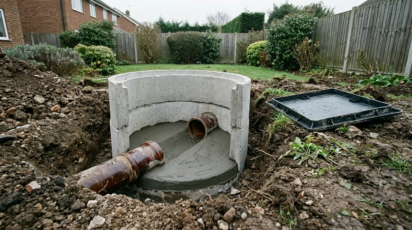
The brewery-era terraces on Colchester Road, the 1950s council housing and the 1970s estates were each drained to the standards of their day, and shared runs between neighbouring properties are common on the older stock. A drain serving more than one property is generally a public sewer now, even where every metre of it sits in one garden.
Building over or within three metres of it needs a build over agreement from Anglian Water, which runs on its own timetable and can require a survey, a bridging foundation or a diversion. Lifting the covers and following the falls at survey stage takes twenty minutes and is the cheapest twenty minutes on the job.
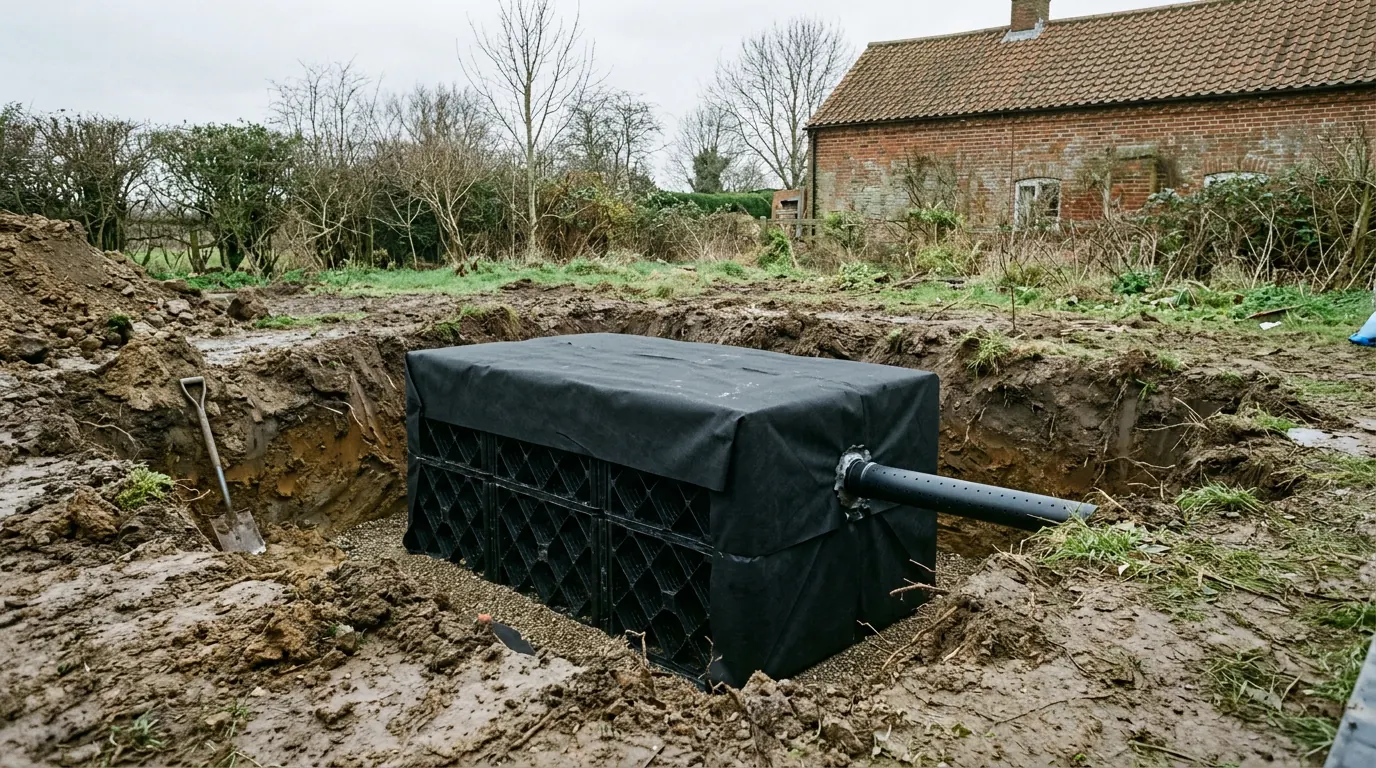
Surface water is the other half. The clay on the higher ground drains poorly, so a soakaway sized as though the plot were gravel will not cope, and on the valley sides the run-off has somewhere to go that is not your problem until it is your neighbour’s.
What people build in West Bergholt
Mostly rear extensions on the post-war stock, and roof work where the trusses allow it.
The commonest brief is a single storey rear extension opening the back of a 1960s or 1970s house into one kitchen and living space. The gardens on the infill developments take it comfortably, and side access on most of that stock keeps the cost down because materials and spoil do not have to come through the hall.
Second is roof work. On the earlier cut roofs a loft conversion is usually viable on head height alone. On the mid 1970s estates the trussed roof has to be opened up structurally, and the Design Statement’s line on dormers means the design conversation is about keeping the dormer subservient rather than filling the slope.
Third, and increasing, is the annexe or garden building on the larger plots at the village edges along Lexden Road and Albany Road, where individual houses sit on generous ground.
Questions we get asked in West Bergholt
Which council decides my application?
Colchester City Council. That is worth saying plainly because it is not safe to infer from the map in this corner of Essex. White Colne, seven miles west along the valley, is Braintree District.
Am I in a conservation area?
No conservation area is designated over West Bergholt. We confirm the position on your specific address before any design work, because designation changes the planning route entirely.
Does the neighbourhood plan stop me extending?
No. It sets out what a proposal has to demonstrate. The two things it asks for that catch people are the impact on views across the valley sides and accurate street elevations showing your neighbours’ buildings.
My house is on the old brewery site. Is it different?
Usually yes. Converted buildings that are now flats bring lease terms, shared structure and management consent into a job before planning is even reached.
Getting a price for a West Bergholt extension
Our team surveys the property properly: the ground on your plot rather than the village generally, the trees and their species, the existing footings where they can be seen, the drain runs, the roof structure, and the designation and policy position on your address. Most people who call us already have drawings and permission and want a builder to price the work and build it. That is the ordinary job here, and we are glad to work to somebody else’s plans. Where the drawings do not exist yet, we bring in the technician who draws it and the structural engineer we work with to calculate it, we manage the planning application with Colchester City Council, we notify Building Control, and we run the job as main contractor.
We carry £2m public liability cover and everything is built to current Building Regulations, through to your completion certificate. The survey and the quotation cost nothing.
Last reviewed August 2026.
The same wall, before and after.
A two storey rear addition on a job in the Colchester area, photographed as it went. Drag to reveal.
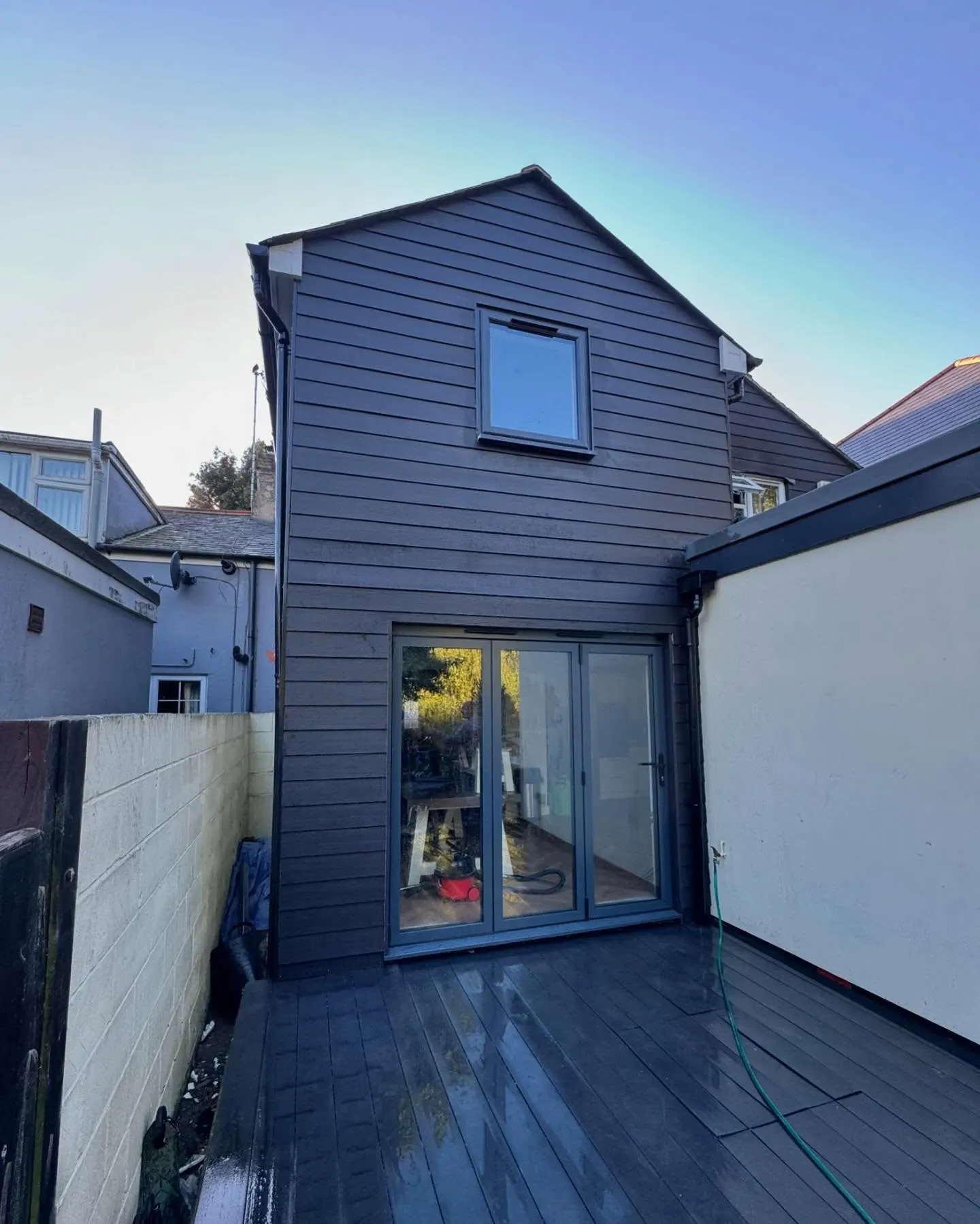
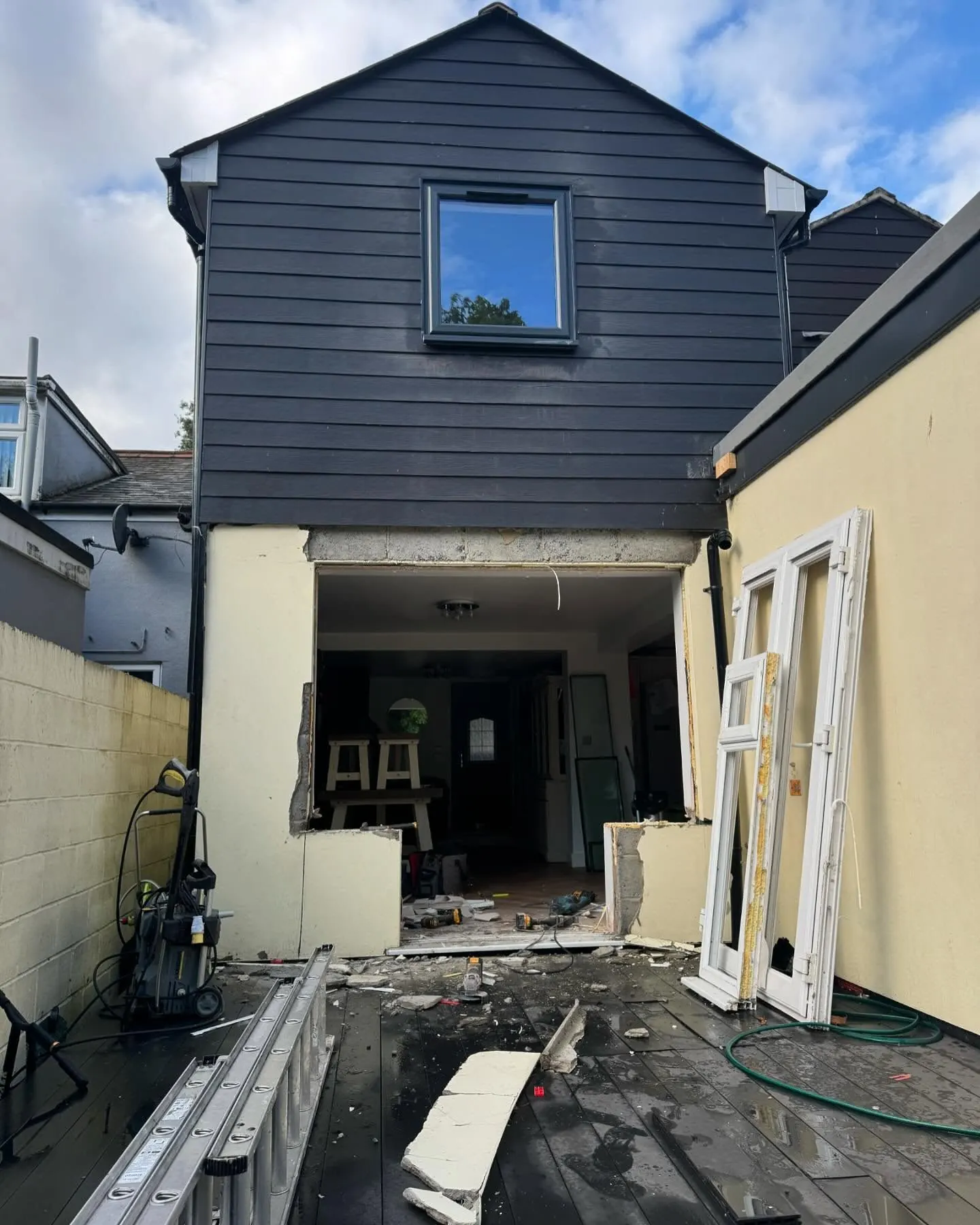 During
Finished
During
Finished