
Extensions in Mistley
Half of a conservation area shared with Manningtree, carrying one extra control over a handful of streets that the other half does not have.
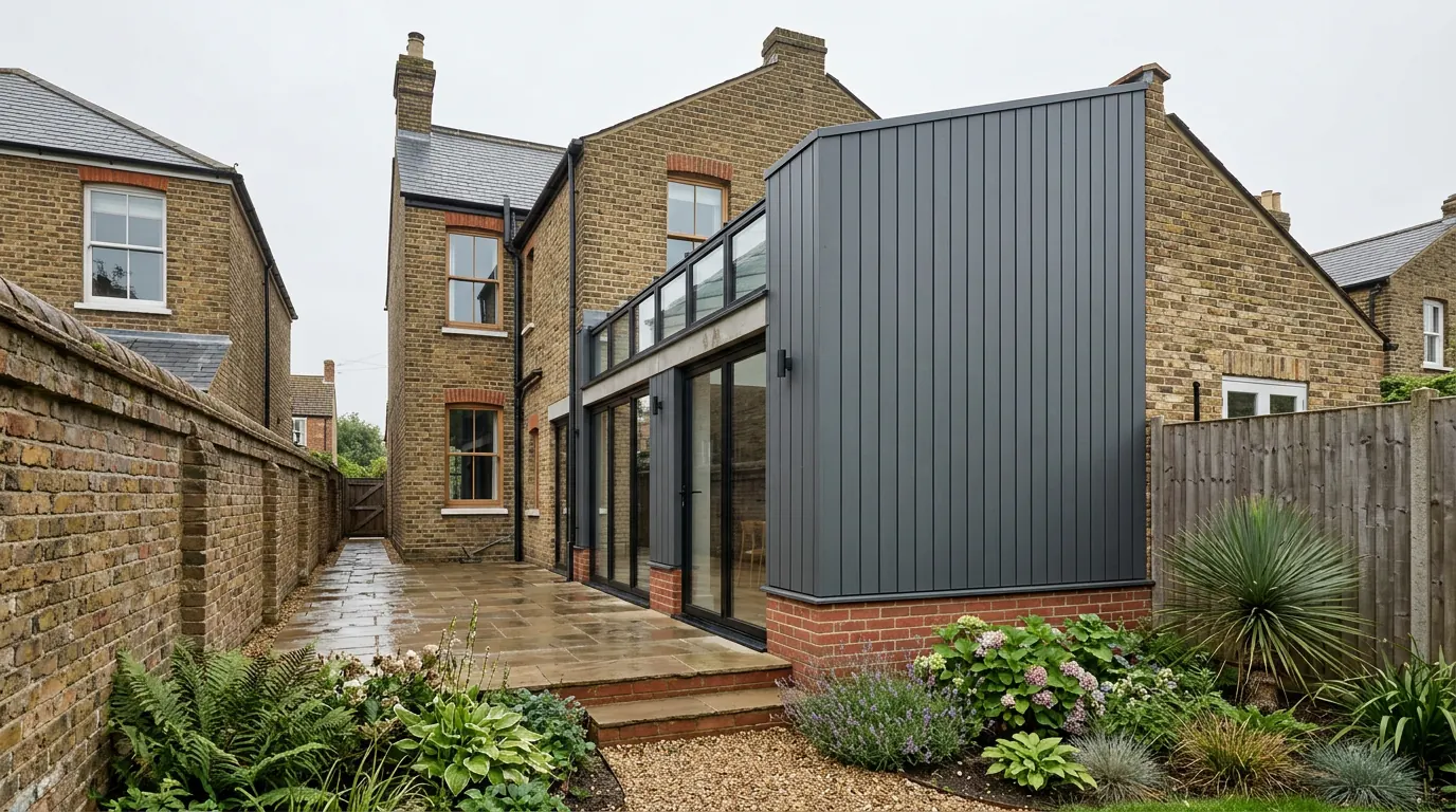 Fig. 01
Extending in Mistley
The other half of a shared conservation area, with one control on top of it that Manningtree does not have.
Mistley sits on the south bank of the Stour a mile east of Manningtree, with Lawford and the station beyond it, and it is still a working port. The quay was first built around 1720 and enlarged around 1770 by Richard Rigby, who also laid out the planned Georgian quarter behind it. What grew afterwards was industrial: maltings on a scale nothing else on this coast matched, terraces of workers’ houses to serve them, and wharves that handled coal and barges.
Almost none of that has been prettified away. Grain still moves through the village, lorries still use the High Street, and the Edme maltings chimney is a landmark rather than a relic. Building a house extension in Mistley means building in a place that has a day job.
The authority, and the designation you share
Tendring District Council, and one conservation area covering both settlements since 1969.
Applications go to Tendring District Council, determined against the Tendring District Local Plan 2013 to 2033 and Beyond. Mistley Parish Council is a consultee, not the decision maker.
The designation is the Manningtree and Mistley Conservation Area, made on 2 October 1969 and revised in 1981, 1983, 1989 and 1994, with an appraisal adopted in March 2006 and a management plan in 2010. It is one area covering two settlements, which is unusual, and it was kept that way deliberately: an earlier proposal to break it into separate cores was dropped because the maltings trade and the Rigby estate shaped both places and splitting the boundary would have split the reason for it.
The appraisal describes Mistley in three parts, and they behave differently. There is the sophisticated eighteenth-century planned quarter, the very much larger scale of the late nineteenth-century maltings, and the tight grain of artisan housing around California Road, with a further pocket of workers’ houses to the south east. A design that suits one of those reads as a mistake in another.
The Article 4 direction, and the streets it covers
This is the practical difference between a Mistley address and a Manningtree one inside the same conservation area.
The council’s management plan for the conservation area records an existing Article 4 direction covering a small part of Mistley, in the area of Beckford Road, Rigby Road, Stour Terrace and part of Harwich Road. It applies to houses in single occupation, which is the normal shape for these directions, because the controls already exist where a building has been divided into flats or is in commercial use. The plan went on to recommend that the direction be recast to cover the whole conservation area, and that recommendation is worth knowing about even where it has not been acted on.
An Article 4 direction switches off named permitted development rights over a mapped area. It does not forbid the work. It converts it into a planning application at the ordinary householder fee, the exemption that once applied where a direction was the only reason for applying having been repealed in England in January 2018. What it typically catches on terraces like these is the detail that erodes a street: front doors and windows swapped for plastic, roof coverings changed, chimney stacks taken down, brickwork painted over, porches and boundary walls added.

Whether a direction sits over your specific address is a question for the council rather than for a map you found online, and it costs nothing to ask. Our guide to Article 4 directions sets out the ways to check.
A scheduled monument in the middle of the village
Two towers of a church that mostly is not there any more, and a setting that reaches beyond them.
Robert Adam was commissioned in 1776 to remodel the parish church, and produced something unlike the standard Georgian parish church: towers at both ends and porticoes north and south. The body of the church was demolished around 1870 when a new one was built, and the two towers were left standing. They are listed at Grade I and they are also a scheduled monument, which is a separate national regime from planning permission.
For a householder that is background until it is not. Scheduled monument consent bites on works to the monument itself, which will not be your extension. What does reach further is setting. An application for a house within sight of a designated heritage asset gets assessed for its effect on that asset’s setting whether or not your own house is designated, and the council takes heritage advice on those. It does not make an extension unlikely. It moves the argument onto the roof form, the materials and the height, which is where it should be anyway.
The same logic applies to the maltings. They are the largest thing in the village and parts of them have been on the at-risk register. Anything visible in the same view as them gets looked at with that in mind.
Where the National Landscape starts
Not in the village. In the open ground behind and beside it.
In July 2020 the Suffolk Coast and Heaths area of outstanding natural beauty was extended westwards into Essex, taking in land along this side of the Stour. It has since been renamed a National Landscape, though the permitted development order still uses the older legal term. The boundary follows the open country rather than the built-up area, so the quay, the High Street and the Towers sit outside it while the fields east of the village and the land south of the railway sit inside.
That matters because an area of outstanding natural beauty is article 2(3) land in its own right, exactly as a conservation area is. A house on the eastern fringe of the parish can therefore lose side extensions, two-storey rear extensions, cladding and roof dormers under the landscape designation even if it sits outside the conservation area boundary and nobody has ever mentioned heritage to them. Two different lines, drawn for two different reasons, and the same result at the drawing board.
Trees, including one that predates the village
Furze Hills is full of old oaks, and the conservation area rules bite before any order does.

The woods at Furze Hills contain several ancient oaks including Old Knobbley, reckoned to be among the oldest trees in Britain. The wider village has the usual mix of garden trees on plots that were laid out around them.
Inside a conservation area, a tree of any size beyond the exempt minimum cannot simply be worked on even where no Tree Preservation Order exists. You give the council six weeks’ written notice of what you intend, and during that period it can make an order and stop you. Six weeks is a long time to discover when the scaffold is booked. If a limb has to come back to get plant down the side, or a root sits in the line of a foundation, that notice goes in with the drawings. Our guide to tree preservation orders and foundations covers what happens when the tree stays and the foundation has to move instead.
The ground, the water and the wall
The tidal flood zone is the quayside strip. Behind it the land climbs.
Flood Zone 2 and 3 follow the quay and Thorn Quay frontage. Move up the High Street and onto the ground behind it and you are out of the mapped zone quickly. If you are on the low ground, a householder extension is minor development, so the sequential test does not apply, and the response is in the build: a considered finished floor level, a solid floor, materials low down that survive being wet, and services run high.
The quayside also brings made ground. Land that has been wharf, siding and industrial platform for two centuries is not a natural profile, and what is under a foundation there is established by trial hole rather than assumed from the house next door. Away from the water the parish sits on the usual north Essex combination of clay with gravels over it, which is a better foundation story but not a uniform one.
What gets built here
Modest at the front, everything at the back, and a lot of it inside.
On the artisan terraces the work is a small rear extension, a reworked ground floor, and a roof handled under Class C rather than Class B: a rooflight sitting no more than 150 millimetres beyond the plane of the original slope and no higher than the highest part of the roof stays permitted development on designated land, while a dormer does not. On the Georgian houses of the planned quarter it is more often internal reconfiguration and careful repair, with listed building consent running alongside planning where the building is listed. Our page on extending a listed building explains why that second consent is usually the harder one.
Out towards the parish edges, where plots are wider, garden rooms and outbuildings become the sensible answer, subject to the landscape designation that may be sitting over them.
Access, and sharing a street with a port
Deliveries here compete with somebody else’s.

The High Street carries commercial traffic to the quay, and much of the older housing fronts straight onto it with no side access. Materials come through the house, spoil goes out the same way, and a skip needs a permit rather than a driveway. Scaffold standing over a footway needs a licence. The workable answer is usually early deliveries and a tight programme rather than a lorry parked all morning, and that is a decision made before the job starts rather than during it.
Questions we get asked in Mistley
My house is in the same conservation area as Manningtree. Are the rules the same?
The conservation area rules are. The Article 4 direction is not, and it sits over part of Mistley only. Two houses in the same designation can have different rights, and the street name is what decides it. Our Manningtree page covers the other side.
Can I replace my windows with double glazing?
Outside the Article 4 area, replacing windows in an unlisted house is usually not a planning matter, though it is a Building Regulations one. Inside it, or on a listed building, it is an application. The answer is rarely no, but it is often a different window from the one in the brochure.
Does the National Landscape affect my house?
Only if the boundary crosses your address, and in the village itself it generally does not. On the eastern and southern edges of the parish it does, and there it removes the same permitted development rights a conservation area would.
Will the maltings stop me extending?
No. What they do is put your house in a view that contains a significant heritage asset, so scale and materials get justified on the drawing rather than assumed.
Getting a price for a Mistley extension
We are based in West Bergholt and Mistley is a straightforward run round from Colchester.
Our team comes out and works through what actually sets the number: whether an Article 4 direction touches your street, where the conservation area and landscape boundaries fall on your address, what the walls are built of, how anything reaches the back of the house, and what the ground turns out to be when it is opened. Most people who call us already have drawings and permission and want a builder to price the work and build it. That is the ordinary job here, and we are glad to work to somebody else’s plans. Where the drawings do not exist yet, we bring in the technician who draws it and the structural engineer we work with to calculate it, we handle the application with Tendring District Council, we notify Building Control, and we run the job as main contractor.
We carry £2m public liability cover and build to current Building Regulations, through to the completion certificate. The survey and the quotation cost nothing.
Last reviewed August 2026.
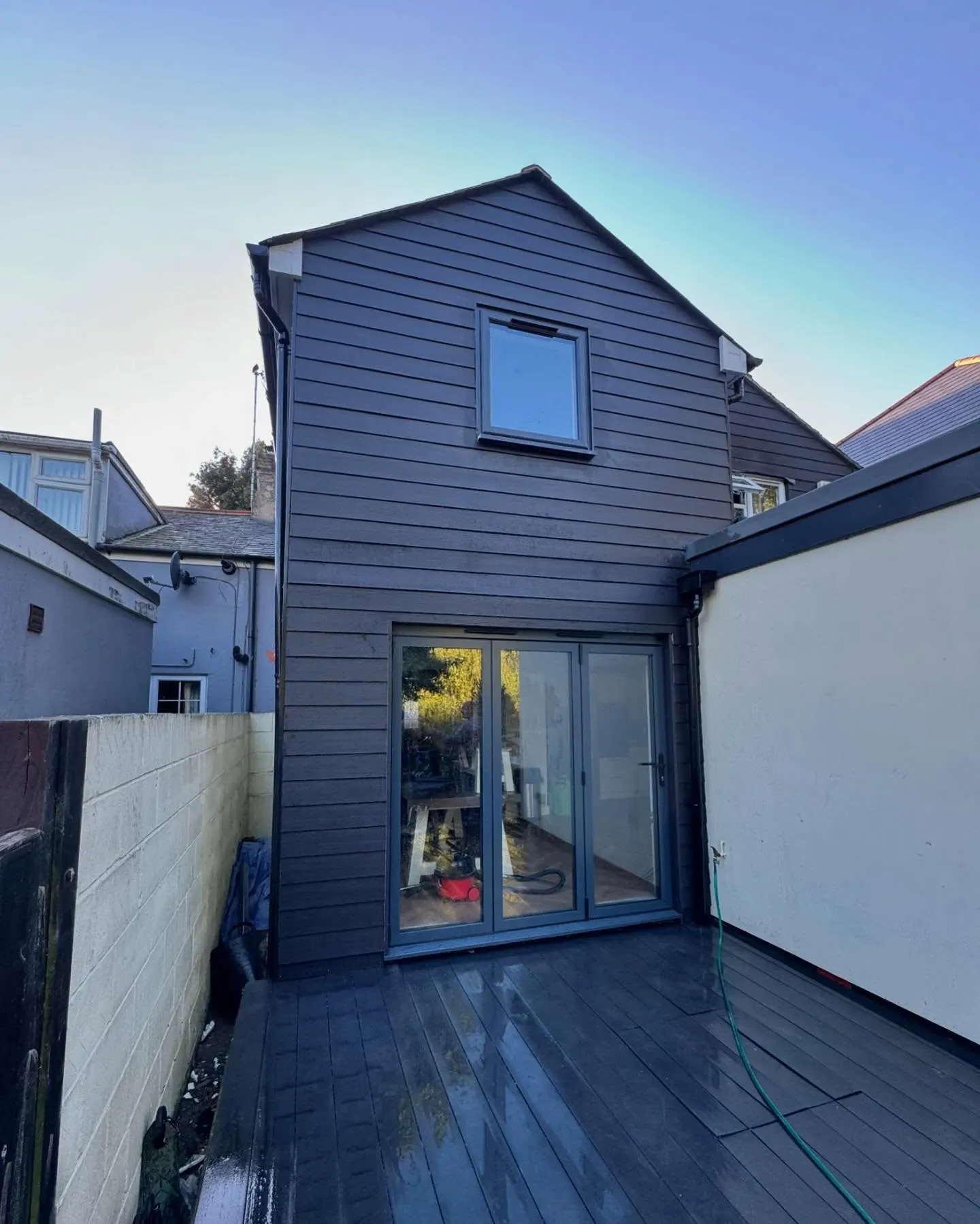
The same wall, before and after.
A two storey rear addition on a job in the Colchester area, photographed as it went. Drag to reveal.
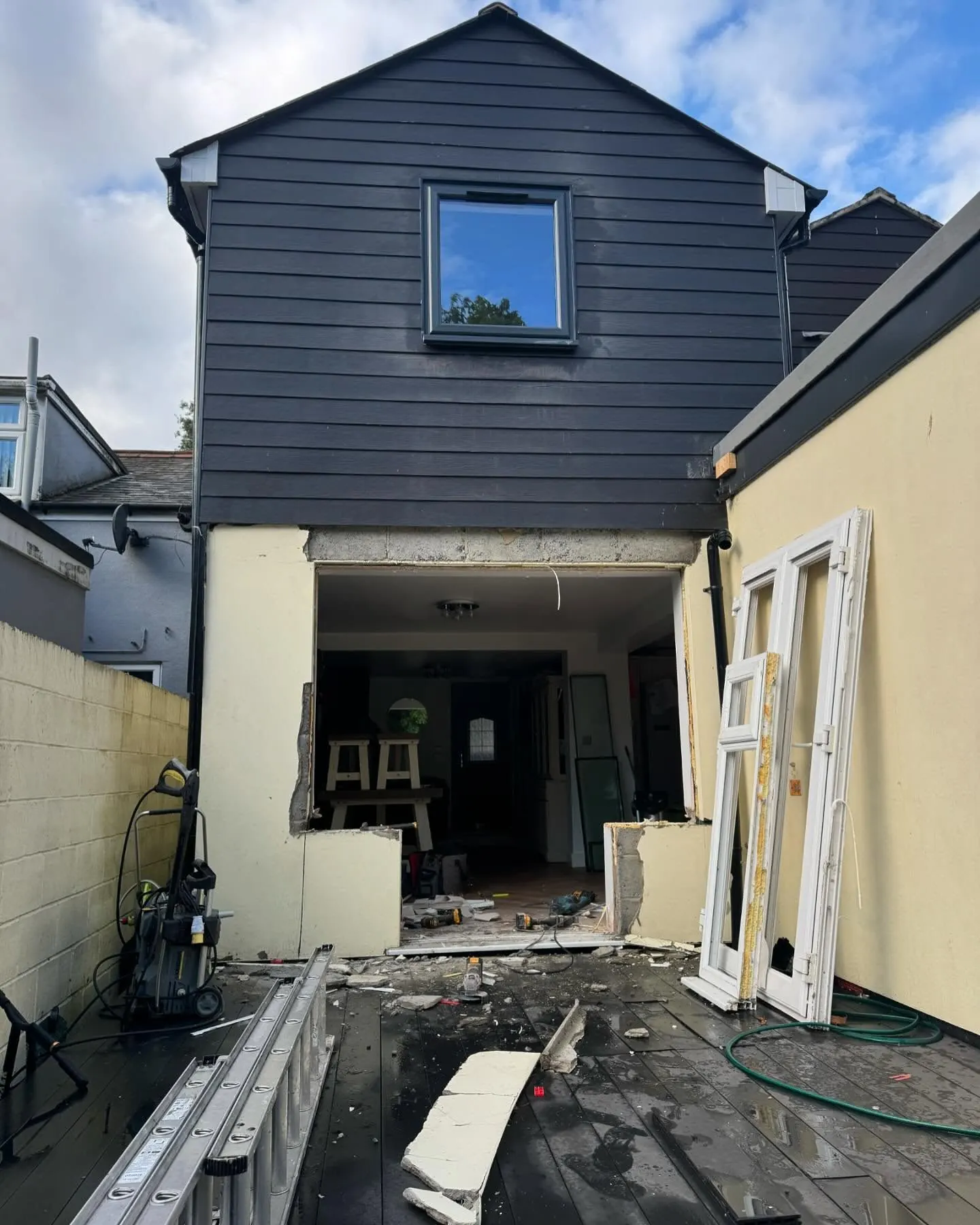 During
Finished
During
Finished