
Extensions in Manningtree
A medieval planned town of nine hectares where the conservation area belongs to two settlements and the frontage rarely matches the building behind it.
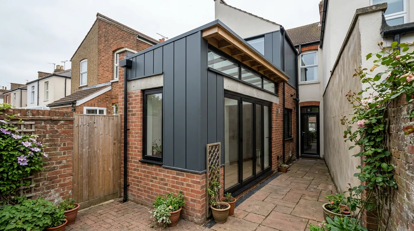 Fig. 01
Extending in Manningtree
A medieval planned town of roughly nine hectares, where almost every house sits inside a conservation area it shares with somewhere else.
Manningtree stands at the head of the Stour estuary, at the point where the river stops being tidal water you can walk beside and starts being open mudflat. The town is famously small. The civil parish covered about 22 acres in the nineteenth century and it has not grown much since, which is why the parish population at the 2021 census was 874 while the built-up area that everybody calls Manningtree held nearly twice that.
That difference is the first practical fact about building here. The town spills over its own parish boundary into Lawford on one side and Mistley on the other. A Manningtree postal address does not reliably tell you which parish you are in, which conservation area boundary you are inside, or which parish council gets consulted on your application. We check the address rather than the town name, and on this particular street pattern that is not pedantry.
The authority
Tendring District Council decides it. The town council does not.
Applications are determined by Tendring District Council, against the Tendring District Local Plan 2013 to 2033 and Beyond, with the Essex Design Guide as supplementary guidance. Manningtree Town Council is the parish tier. It declared itself a town in 1998 and it is consulted on applications, so its view carries weight in the way any consultee’s does, but it does not grant or refuse anything.
Colchester is seven or eight minutes up the main line and a great deal of Manningtree looks to Colchester for everything else. It is not the planning authority here, and an application sent there is not refused, it is simply delayed while somebody redirects it.
One conservation area, two towns
Manningtree does not have a conservation area of its own. It shares the Manningtree and Mistley Conservation Area with the village a mile east.
That single designation was made on 2 October 1969, one of the earliest in the district, and the boundary has been revised four times since, in 1981, 1983, 1989 and 1994. An appraisal was adopted in March 2006 and a management plan followed in 2010. The council has been consulting on further boundary amendments, so anyone told the line is settled should ask when that advice was written.
The reason the two settlements were designated together rather than separately is historical rather than geographic. The maltings trade and the Rigby family shaped both places, and an earlier proposal to split the designation into smaller cores was dropped because it would have cut that story in half. The practical consequence for a homeowner is simple: the town is small, the conservation area covers the planned medieval grid and most of what grew around it, and the odds that your house is inside it are high.
Inside, the property becomes what the permitted development order calls article 2(3) land. Under Class A that removes side extensions, removes a rear extension of more than one storey, removes cladding, and closes the prior approval route that would otherwise allow a deeper single-storey rear extension. Under Class B it removes roof enlargements, which is why a rear dormer here needs an application. Class C, which covers other roof alterations, carries no such exclusion, so a rooflight sitting no more than 150 millimetres beyond the plane of the original slope and no higher than the highest part of the roof remains permitted development, front slope included, unless an Article 4 direction removes it. There is more on all of it in our guide to conservation areas and extensions.

Georgian at the front, something older behind it
The facades are eighteenth century. A good many of the buildings are not.
The centre of Manningtree is a thirteenth-century planned town, laid out in a grid with a market place that survives as the wide part of High Street. What faces the street is largely Georgian: sash windows, painted render, parapets, the occasional classical doorcase. Behind a fair number of those frontages is a sixteenth or seventeenth century timber-framed building that was refronted when fashion changed.
That matters more than it sounds. A refronted timber-framed house does not behave like the brick house it is dressed as. The rear wall you want to open may be studwork and lath, not masonry. A steel beam needs to bear on something that will carry it, and on these buildings the honest answer is often that the padstone has to go down onto a new pier taken to a proper bearing rather than onto an existing wall that turns out to be a frame with brick nogging between the studs. Floors run at levels that do not match from room to room. Chimney stacks are structural.
None of that stops the work. It changes when you find out about it. We open up and look before the beam is ordered, because a survey that assumes masonry and meets oak is a change of design at the worst possible moment.
Where the tidal flood zone actually reaches
It is a band along the waterfront, not a blanket over the town.
The Environment Agency’s tidal flood zones follow the low ground at the bottom of the town: the quayside, the car park behind the flood wall, and the strip either side of it. Ground rises quickly to the south, and much of High Street and South Street sits above the mapped zone rather than in it. Anyone who tells you the whole of Manningtree is in Flood Zone 3 has not looked at a map, and anyone who tells you none of it is has not either.
If your address is in the zone, a householder extension counts as minor development, so the sequential test is not applied to it and you are not being asked to build somewhere else. What changes is the construction. Finished floor level gets set deliberately rather than to match the existing floor. The floor build-up goes solid. Materials low down are chosen because they will dry out and be usable again, not because they were cheapest. Sockets and boiler controls go up the wall rather than along the skirting. Our guide to flood zones and extensions in Essex sets out how the application is handled.
One thing worth saying plainly, because it costs people money in argument rather than in fees. The Essex Coast Recreational disturbance Avoidance and Mitigation Strategy charges a contribution per dwelling in this zone of influence. It is triggered by a net increase in the number of dwellings. Extending your own house creates none, so it does not apply. Splitting a large house into two flats, which happens here more than it does in the villages, is a different matter entirely.
Listed frontages, and what listing does not remove
There is a lot of it on High Street and South Street, and the commonest belief about it is wrong.

Manningtree carries a dense run of listed buildings through its historic streets. If yours is one of them, the belief to discard first is that listing has taken away your permitted development rights. It has not. Listing adds listed building consent as a second regime, under separate legislation, covering the inside of the building as well as the outside, where unauthorised work is a criminal offence rather than a planning breach.
That second consent is usually the harder of the two, which is exactly why people assume the first one has gone. It also reaches sideways: a structure inside the curtilage of a listed building that predates 1948 can be treated as listed in its own right, which catches the coach house, the garden wall and the old washhouse at the bottom of the plot. Our page on extending a listed building works through both regimes and the order to take them in.
Getting a lorry, a skip and a beam into a medieval grid
There is no side access. That is the single biggest difference between a job here and a job in the villages around it.
Continuous frontages onto narrow streets mean most Manningtree houses have no gate down the side and no driveway. Materials come through the front door and out through the house, or they get lifted over a garden wall from a neighbour’s ground with permission. Spoil goes the same way in reverse. On a plot where a digger cannot reach the back, the dig is done by hand or by a machine small enough to fit through a hallway, and both of those cost more per cubic metre than an open site does.
Add a skip permit rather than a driveway, a scaffold licence where the scaffold stands over a pavement, and delivery timing on streets that carry through traffic to the quay. None of it is difficult. All of it is programme, and a quote that has not allowed for it is not a quote for your house.
The other constant is the party wall. Terraced and semi-detached frontages mean the Party Wall etc. Act 1996 applies to most structural work here, and excavating within three metres of the neighbour’s structure to a depth below their foundations triggers it more often than people expect, because the new foundation is deep and an eighteenth-century one is not. Notice periods are one or two months depending on the section and they run from service.
What gets built here
Short plots and a designated frontage push almost everything to the back and the inside.
The commonest brief is a modest single-storey rear extension taking the kitchen into the plot, detailed to sit against an older building rather than against a modern one. Beyond that it is internal: taking out a wall between two small ground-floor rooms, reworking a stair that was never meant for the way the house is used now, converting an outbuilding.
Roof work is real but constrained. A rooflight in the plane of the slope stays permitted development under Class C. A dormer does not, because Class B does not apply on designated land, and on a frontage in a medieval grid the answer to a front dormer is usually no regardless of the route. Garden rooms behind the building line are the quiet success story, because they add space without touching a designated elevation.

Deep single-storey rears are rare, and not only because of the plots. The prior approval route that lets a detached house go to eight metres and an attached house to six is switched off inside the conservation area, so a deeper extension is a full application from the start.
Questions we get asked in Manningtree
Is my house actually in Manningtree?
For planning purposes, possibly not. The built-up area runs into Lawford and Mistley, and the boundary does not follow anything obvious on the ground. It is the same council either way, but it changes the conservation area position and who is consulted, so we check it first. There is more on the neighbours on our Lawford and Mistley pages.
Can I put a dormer on the back?
Not without permission. Roof enlargements lose permitted development status inside the conservation area. It can still be applied for, and rear dormers are sometimes acceptable where they are not visible from the street, but it starts as an application rather than as a right.
My neighbours had cladding approved. Can I have the same?
Cladding is not permitted development on designated land, so theirs went through an application and yours would too. What was acceptable next door is evidence, not permission.
How do you get materials in with no side access?
Through the house, with the route protected, or over the boundary by agreement. We work it out at survey and price it, rather than discovering it on the first morning.
Getting a price for a Manningtree extension
We are based in West Bergholt, and Manningtree is a straight run out on the Colchester road.
Our team comes out and looks at the things that set the number in a town like this: where the conservation area boundary falls on your address, whether the building behind the frontage is what the frontage suggests, how anything gets to the back of the house, what the ground does at the bottom of the plot, and whether the floor needs to sit at a level rather than a thickness. Most people who call us already have drawings and permission and want a builder to price the work and build it. That is the ordinary job here, and we are glad to work to somebody else’s plans. Where the drawings do not exist yet, we bring in the technician who draws it and the structural engineer we work with to calculate it, we handle the application with Tendring District Council, we notify Building Control, and we run the job as main contractor.
We carry £2m public liability cover and build to current Building Regulations, through to the completion certificate. The survey and the quotation cost nothing.
Last reviewed August 2026.
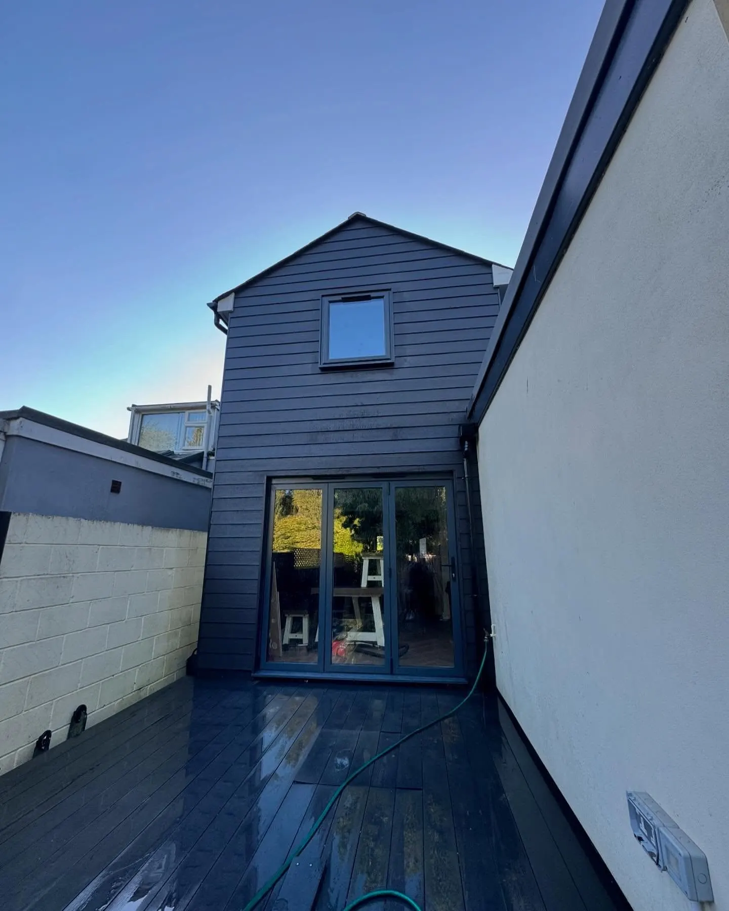
What the back of the house was, and is.
One of ours mid build and finished. No staging, and no borrowed images. Drag to reveal.
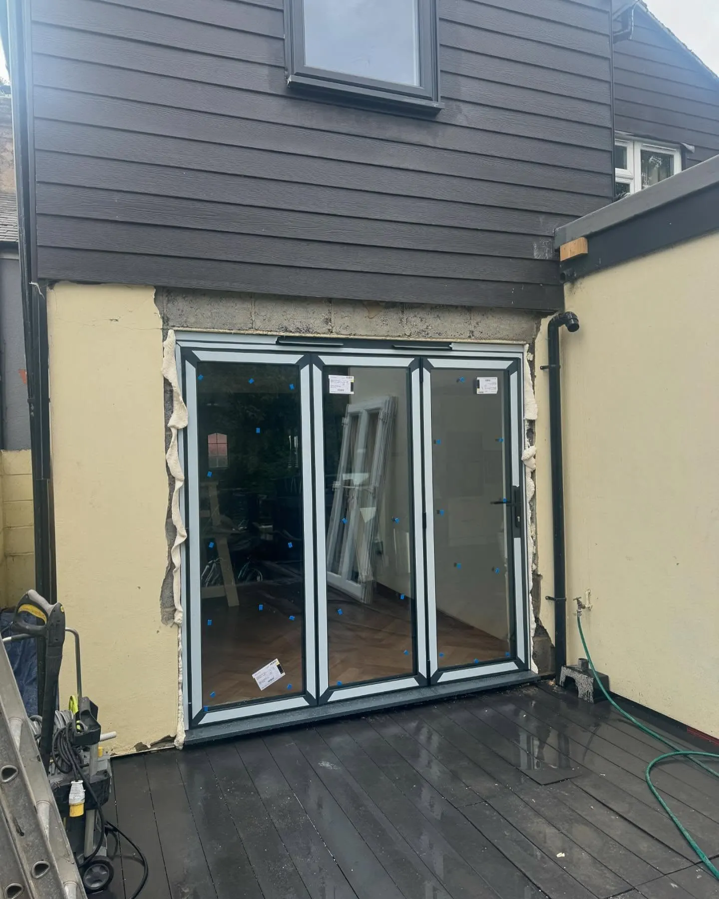 During
Finished
During
Finished