
Extensions in Harwich
A port town that is really three towns, and the first job on any address here is working out which of them you are in.
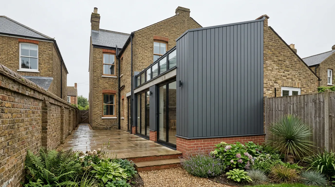 Fig. 01
Extending in Harwich
A working port with a thirteenth century town on the point, a Victorian seaside resort behind it, and post-war estates holding most of the eighteen thousand people who live here. Three different building problems inside one town.
Harwich sits at the end of the peninsula where the Stour and the Orwell meet the North Sea, and it is the last town in Essex before the water. The 2021 census recorded 18,794 people in the parish. Almost none of them live in the part of Harwich that visitors photograph.
That distinction is the whole of it. The Old Town on the point is a small, dense, heavily designated grid of streets. Dovercourt behind it is a Victorian resort that grew into the town’s commercial centre. Beyond both are the twentieth century estates. An extension in one of those three has almost nothing in common with an extension in another, and the first job on any Harwich address is working out which town you are actually in.
Tendring District Council, and the two designations
The authority is not Colchester, and this one town holds two of the district’s twenty conservation areas.
Applications go to Tendring District Council. Harwich Town Council is consulted on them and its view carries weight, but it does not determine anything. That split catches people who have taken a view from a town councillor and assumed it was a decision.
Tendring has twenty designated conservation areas across the whole district, and two of them are here: Harwich, covering the old town, and Lower Dovercourt. Most of the town’s housing sits outside both, which means the single most useful thing you can establish early is which side of a boundary your address falls on, because the two sides are governed differently.
Inside a conservation area the land becomes what the legislation calls article 2(3) land, and that removes a specific list of rights rather than all of them:
- Under Class A, side extensions and two storey rear extensions stop being permitted development, and cladding the outside of the house does too.
- Under Class B, roof enlargements are excluded, so a rear dormer needs an application where an identical dormer three streets away might not.
- Under Class C, nothing is excluded. A rooflight sitting in the plane of the existing slope stays permitted development on designated land, front slope included, subject to the usual conditions: no more than 150mm beyond the plane of the original slope measured perpendicular, no higher than the highest part of the existing roof, and obscure glazing that does not open below 1.7m on a side elevation.
The rooflight point surprises people constantly, and it is worth knowing before anyone redraws a roof on the assumption that designation has closed the option off. What can close it off is an Article 4 direction, which is a separate instrument a council makes to withdraw a permitted development right over a defined area. None is recorded over these streets in connection with extensions, and it costs nothing to have the council confirm the position against your address. The Article 4 direction most people in Tendring have heard of is the one behind the council’s policy on houses in multiple occupation, and that withdraws a change of use rather than any right to extend.
The Old Town: a medieval grid behind Georgian fronts
Around 150 listed buildings inside one conservation area, and most of them are older than they look.
The old town was laid out as a planned grid in the thirteenth century by the Earl of Norfolk, to work the crossing at the mouth of the two rivers, and the town had its first charter in 1238. The street pattern that grid produced is still exactly what you walk through: parallel streets running back from the water, crossed by narrow lanes, on a piece of land that could not expand sideways.

The conservation area holds close to 150 listed buildings, one of them Grade I and about ten at Grade II*. The Guildhall of 1769, the parish church of St Nicholas rebuilt in the 1820s, the High and Low Lighthouses rebuilt in 1818 and the Electric Palace Cinema of 1911 are the ones people name. The ones that matter to a builder are the ordinary houses in between.
Here is the thing that decides how a job goes in the old town. The prevailing look is Georgian, because eighteenth century fronts were applied across the town as fashion changed. Behind a good proportion of those fronts is a late medieval or post-medieval timber frame. What reads from the street as a solid brick or rendered elevation is frequently a frame with a skin on it, and that changes almost everything about opening it up: where the load actually goes, whether there is anything to bear a lintel on, how the floors are hung, and what happens to the frame if you wrap it in a modern impermeable finish.
The practical consequence is that survey work here is invasive and it happens before the design is fixed, not after. A structural opening designed against an assumption about a solid wall is a drawing that gets torn up on the day.
Listing does not remove your permitted development rights. This is the most repeated misunderstanding on any listed street. Listed building consent is a second regime running alongside planning, it reaches inside the building as well as outside, and carrying out work without it is a criminal offence rather than a planning matter. It is usually the harder of the two consents, which is exactly why people assume the first one has gone.
Our page on listed buildings and extensions sets out how the two consents run together.
Getting a build into the old town at all
Streets built hard onto the pavement, no side access anywhere, and a highway authority that is not the council you applied to.
Old town houses front directly onto the footway. There is no side gate, no driveway, and in many cases no vehicle access to the rear at all. Everything goes through the house or over the roof, which means dust protection, floor protection and a slower programme, and it is the single largest difference between a price here and a price for the same extension in Dovercourt.
Anything standing on the footway needs a licence. Scaffolding, a hoarding, a skip: the highway authority is Essex County Council, not Tendring, and the application runs on its own timetable with its own conditions about pedestrian routes and lighting. On a narrow lane where the scaffold takes the whole footway, a temporary pedestrian diversion may be part of the licence. None of that is difficult, and all of it is slow if it starts late.
Materials are the other half. Lime rather than cement is usually the right answer on a timber frame or a soft old brick wall, because those walls handle moisture by letting it move rather than by resisting it. A cement render or a plastic paint on that fabric holds water against the frame, and the damage takes a decade to show and is expensive when it does. This is a specification decision made at design stage, and it is one of the places where a conservation officer and a good builder want the same thing.

Dovercourt, which is a different town with a different brief
A Victorian resort built on one man’s ambition, and the housing stock that came out of it.
Dovercourt as most people see it was made by John Bagshaw from 1845. He bought land at Lower Dovercourt, built Cliff House, found a mineral spring on the site and put a spa, a pump room and a library around it, pushed for the railway, and laid out Marine Parade and the Cliff Estate. It bankrupted him in 1859. Cliff House came down in 1909 and the spa in 1920, but the streets he laid out are still the shape of the place, and the Lower Dovercourt conservation area covers a part of them. The cast iron screw pile leading lights of 1863 on the foreshore have been scheduled since 1975.
The stock is what you would expect from a resort that grew fast and then kept growing. Victorian and Edwardian villas and terraces with high ceilings, deep plans, bay windows and rear outriggers, then interwar semis on the roads out, then substantial post-war and later estate housing that holds most of the population.
Each of those wants a different move. The Victorian terraces and villas take a side return infill beside the outrigger better than they take a box across the full width, because the outrigger already defines the shape. Their roofs are steep and generously framed, which makes loft conversions genuinely viable where a shallow modern truss roof would not be. The post-war estate houses have side access and gardens, so they take the ordinary single storey rear extension without any argument at all, and the constraint there is more often a covenant in the deeds or a condition on the original estate permission than anything on the council’s heritage map.
Wind rather than rain, and what it does to the roof
Coastal exposure here is not what people assume it is.
Essex is one of the driest counties in England and driving rain is a comparatively minor issue on this coast, which surprises people who expect a seafront town to be a wet one. What Harwich genuinely has is exposure to wind, because the town sits on the tip of a low peninsula with open water on three sides and nothing upwind of it.
That lands on the roof. Since the 2014 revision of the British Standard for slating and tiling, every tile and slate on a new roof has to be mechanically fixed, and mortar is no longer accepted as the sole fixing for ridges and hips: those are dry fixed or mechanically fixed. That is now the national baseline. On an exposed site the specification goes past the baseline, because the fixing pattern comes off a calculation of the wind uplift on that roof at that height in that location rather than off a rule of thumb, and the difference between the two shows up in the first serious easterly.
The same exposure affects the temporary works. A sheeted scaffold on an exposed elevation is a sail, and it needs tying into the building properly, which on a soft old wall is its own small engineering question.
Low ground, made ground and the tide
The clay under the town is the one that gave its name to a geological formation. The ground around the edges is a different question entirely.

Harwich is the type locality for the Harwich Formation, the sands, silts and clays that sit beneath the London Clay across the London Basin and were first described here. What that means on site is less romantic: London Clay at or close to the surface across much of the peninsula, with softer tidal deposits and made ground around the low edges, particularly on the reclaimed ground at Bathside and out towards the quay at Parkeston. Founding depths in the two situations are not comparable, and neither is knowable from a postcode. A trial hole settles it in an afternoon.
The low ground floods. On the night of 31 January 1953 the North Sea surge put water most of the way up the ground floor and beyond in parts of Bathside, and the tidal flood zone still covers the low ground behind the port and around the quays. The Environment Agency’s mapping is the authority for a specific address, and it is worth looking at before you commit to a design.
What it does not do is stop a householder extension. National planning guidance treats extensions to an existing dwelling as minor development and takes them out of the sequential and exception tests altogether, which are the mechanisms that make flood risk genuinely difficult for a new house. What remains is a proportionate flood risk assessment, sensible finished floor levels, and construction detailed to cope. Our guide to flood zones and extensions in Essex sets out what the council will actually ask for.
Questions we get asked in Harwich
My house is listed. Does that mean I cannot extend?
No. Listing adds a second consent rather than removing the first, and that second consent covers the inside of the building as well as the outside. It is a serious regime, and the way through it is a scheme designed with the building rather than bolted onto it.
Can I put a rooflight in the conservation area?
Generally yes. Rooflights sitting within the plane of the slope are not excluded on designated land, unlike dormers, provided the conditions on projection, height and glazing are met. It is one of the few things designation leaves alone.
How do materials get to the back of an old town house?
Through it, usually, and that is priced properly rather than discovered on day one. Where the rear is reachable only over the roof, a different sequence and sometimes a different design is the sensible answer.
Does the flood map rule out an extension at Bathside?
Not on its own. The tests that stop new dwellings in a flood zone are not applied to householder extensions. Levels and detailing become part of the design.
Getting a price for a Harwich extension
We work out of West Bergholt on the far side of Colchester, and the run out to Harwich is one we make regularly rather than one we would be learning on. The same goes for the parishes that share the postal address and not the planning history, like Great Oakley.
Our team comes out and looks at the things that decide a price in this town specifically: whether the address is inside a conservation area boundary and which one, whether the wall you want to open is masonry or a frame with a skin on it, how a lorry and a scaffold get to the property and what the highway authority will want for that, what the ground gives up in a trial hole, and where the flood mapping puts you. Most people who call us already have drawings and permission and want a builder to price the work and build it. That is the ordinary job here, and we are glad to work to somebody else’s plans. Where the drawings do not exist yet, we bring in the technician who draws it and the structural engineer who calculates it, we handle the application with Tendring District Council, we notify Building Control, and we run the job as main contractor.
We carry £2m public liability cover and build to current Building Regulations, through to the completion certificate. The survey and the quotation cost nothing.
Last reviewed August 2026.
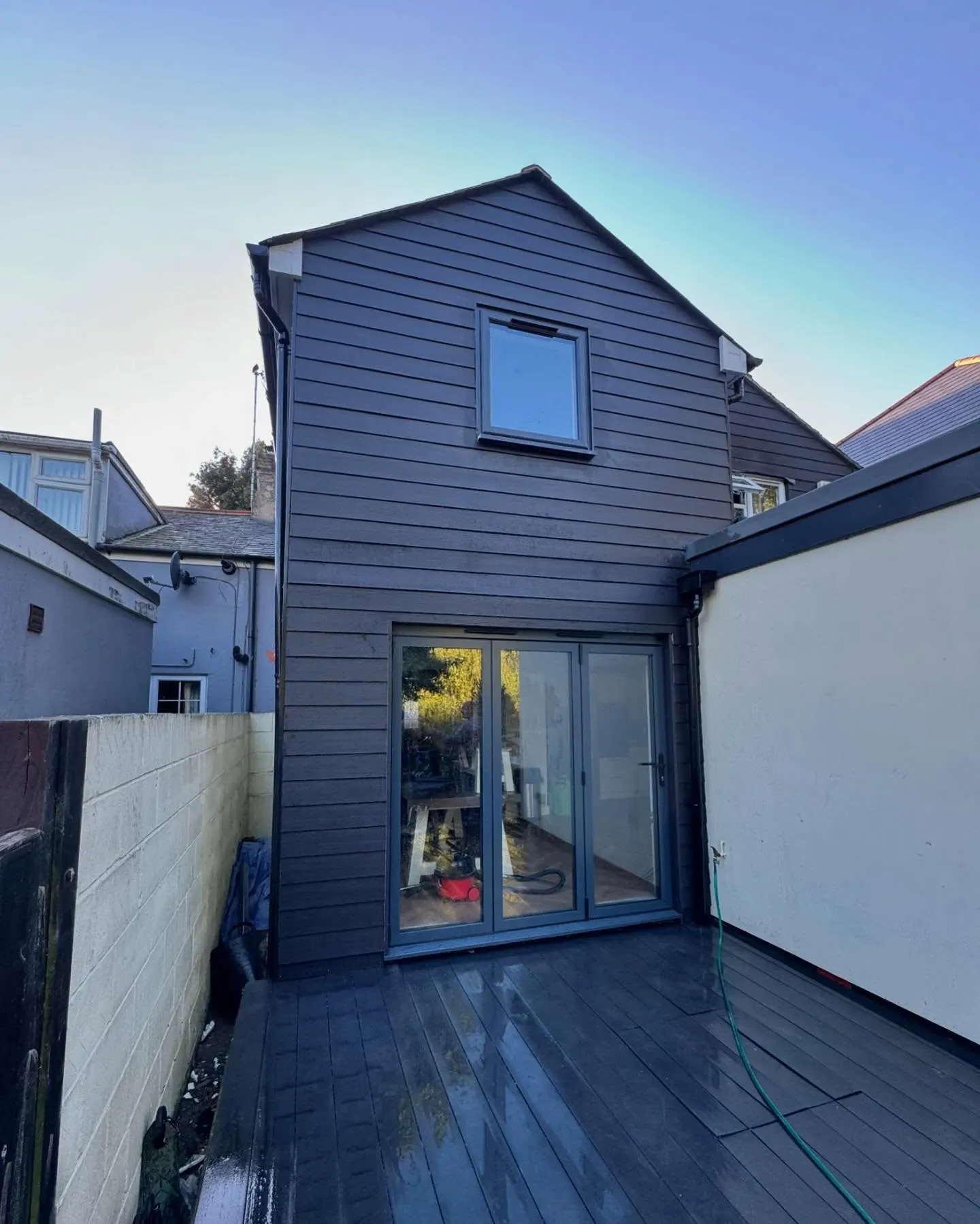
The same wall, before and after.
A two storey rear addition on a job in the Colchester area, photographed as it went. Drag to reveal.
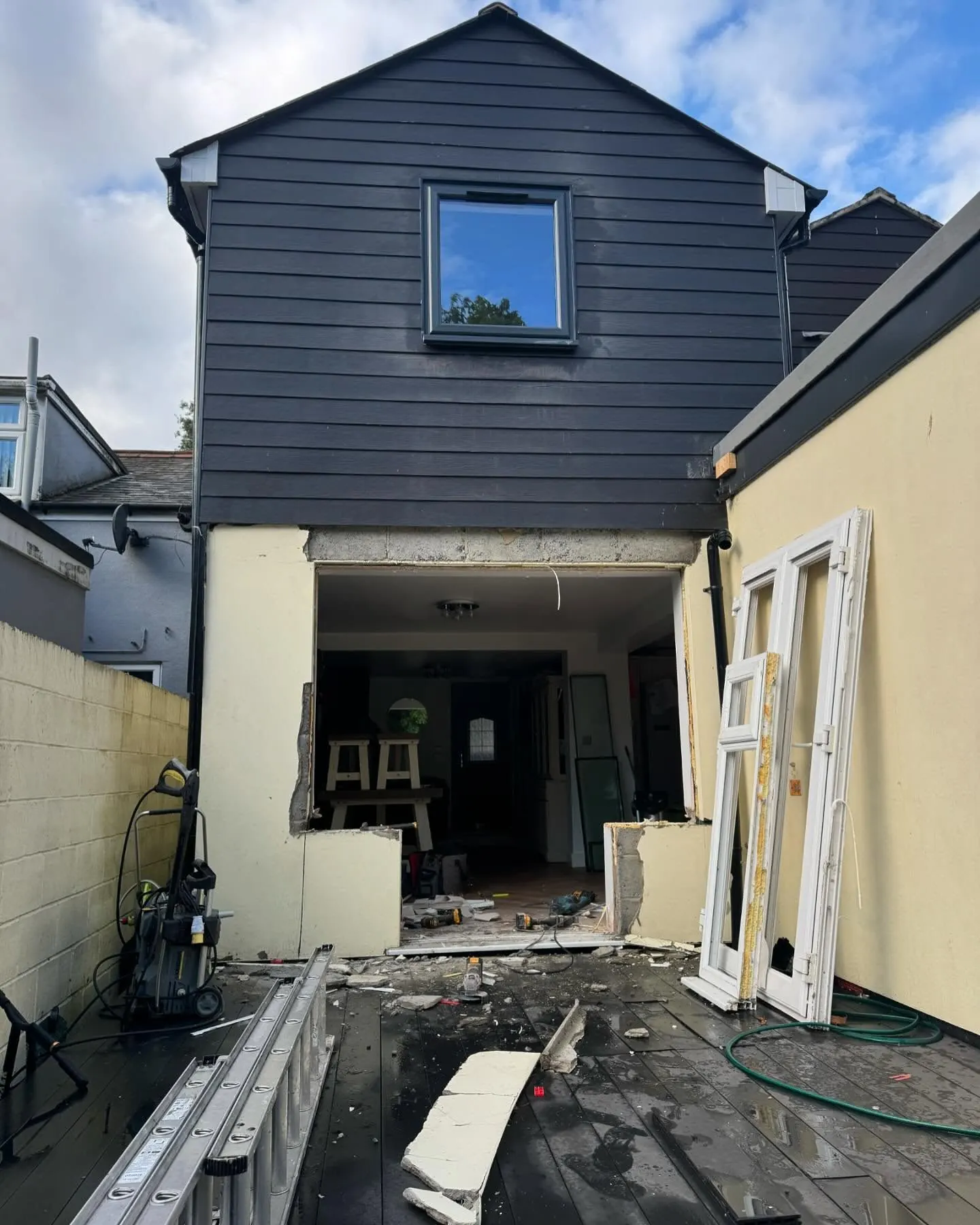 During
Finished
During
Finished