
Extensions in Great Oakley
A long, thin parish along a low ridge, where the slope behind the house decides more than the designation in front of it.
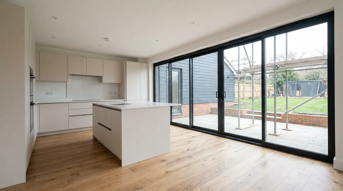 Fig. 01
Extending in Great Oakley
A long, thin parish on a low ridge, with a designated village along the top of it and the ground falling away behind almost every house.
Great Oakley is a village and civil parish in the Tendring district, and its shape is the first thing worth knowing about it. The parish is long and narrow, running along the top of a low ridge that rises to about twenty five metres between Ramsey Creek to the north and Oakley Creek, an arm of Hamford Water, to the south. There were 1,048 people here at the 2021 census. All Saints church, which still holds Norman work, sits in the village, and the living is in the gift of St John’s College, Cambridge. A pub called The Three Cups once marked the old salt works, and Great Oakley Dock at the bottom of the parish has been out of use for a long time.
Almost every practical question about extending here comes back to the ridge. The houses sit along it, the gardens run back from the road, and the ground drops away as they go.
Tendring District Council, and a conservation area that has just been written down
Designated in 1968 and given its first written character appraisal in 2025. The gap between those two dates matters more than it sounds.
Applications go to Tendring District Council. Great Oakley Parish Council is consulted, and the Harwich postal address on much of the parish points at a town that decides nothing about your extension.
Great Oakley holds one of the twenty conservation areas designated across the district. It has been designated since 1968, and for most of that time there was no formal public document setting out what the designation was protecting. Decisions were made against a line on a map and general policy. In 2025 the council adopted a character appraisal and management plan for it, prepared by heritage consultants, as it did for Ramsey and other village conservation areas, and that changed the ground under an application.
What an appraisal does is name things. It identifies the buildings that make a positive contribution and the ones that do not, the materials and boundary treatments that define the place, the views and the gaps that carry the character, and the features the council considers are being eroded. It usually reviews the boundary at the same time. From the day it is adopted it becomes the evidence a case officer works from, which cuts both ways: a scheme that answers what the document actually says is easier to argue than it used to be, and a scheme that ignores it is harder.
The practical instruction is short. If your address is inside the boundary, read the appraisal before the drawings are done. It is a free document and it tells you what the objections will be.
Designation does not put a house out of reach, and the list of what it takes away is shorter than most people arrive believing. A single storey rear extension within the usual limits is still permitted development inside a conservation area. So is a rooflight sitting in the plane of the existing slope, front slope included, under Class C, which carries no exclusion on designated land at all. What goes is the side extension, the two storey rear extension and any cladding, all under Class A, and the dormer, under Class B. That is why a designated address is a design problem rather than a dead end.
No Article 4 direction is recorded over the village in connection with extensions, and the council will confirm the position against your address at no cost.
The slope, and the thing it does to a rear extension
A ridge village means long plots on falling ground, and falling ground changes both the build and the planning arithmetic.
Ribbon settlement along a ridge produces long, narrow plots running back from the road. That is generous in one direction and awkward in the other. There is usually depth available for a rear extension, and side access is often possible where the plot is wide enough, both of which help the price. What does not help is that the ground rarely stays level for the length of the garden.

On a falling site, a rear extension has to resolve the difference between the floor level of the house and the ground it is landing on. The options are all normal and none of them is free: deeper foundations at the low end, a retained step in the garden, a raised and insulated floor over a void, or a design that steps down internally. Which one is right is a function of how much fall there is over the footprint, and that is measured rather than eyeballed.
There is a planning consequence as well, and it is the one people get wrong. Under Class A the height of a single storey rear extension is measured from the highest part of the surface of the ground next to the building, not from the floor level and not from the point where the extension happens to sit. On level ground nobody notices. On a slope, an extension that reads as three metres from inside can measure differently against the rule, and it is worth establishing which before a design is committed. Our page on how high a single storey extension can be sets out where the measurement is taken from.
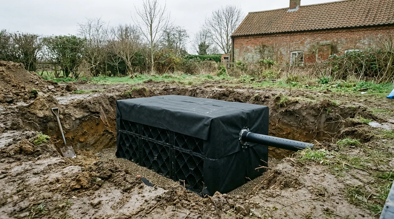
The same slope decides where water goes. Surface water from a new roof and a new patio runs downhill, and a soakaway placed at the bottom of a falling garden on heavy ground is a way of moving somebody else’s problem into your own. Percolation is tested rather than assumed, and on some plots the honest answer is a designed connection rather than a soakaway at all.
The water at the bottom, and what it does not do to you
The parish runs down to a nationally important wetland. That is a constraint on the wetland, not on your kitchen.
Oakley Creek is an arm of Hamford Water, which is a national nature reserve carrying a stack of designations including notification as a Site of Special Scientific Interest and listing as a wetland of international importance. Those instruments govern what happens in and immediately beside the water, and they are aimed at proposals capable of a significant effect on the habitat or the birds using it.
Enlarging a house that already stands on the ridge, with a garden, a drive and a car on it, is not that proposal. The designations are worth knowing about because they explain why anything close to the marsh attracts a longer conversation, and worth putting in proportion because they are routinely quoted at people whose plot is nowhere near the water.
The flood position works the same way. The tidal mapping covers the low marsh at the bottom of the parish. The village on the ridge is a different situation entirely, which is unusual for a parish that touches the coast, and it means the assumption people arrive with is wrong in most cases and right in a few. It is checked against the address rather than argued about.
Ground, access and the works at the end of the road
A working industrial site sits at the bottom of the parish, and everything else has to share the same lanes.
Great Oakley Works on Bramble Island is an operating commercial explosives site, reached through the parish. Two things follow from that for a homeowner. Heavy goods traffic uses the route, which is worth knowing when a delivery is being booked onto a single track lane with passing places. And where a site handles hazardous substances there is a consultation distance around it that the planning authority works to, so if your address is anywhere near, ask the council what that means for your application rather than assuming either that it is fatal or that it is nothing. It is a question with a short answer, and the council holds it.
The lanes themselves set the logistics. An articulated delivery cannot get down most of them, so materials arrive on smaller vehicles and there are more of them. A loaded ready mixed concrete wagon is a large vehicle, and where it cannot reach the trench the concrete gets pumped, which is a line in the price rather than a surprise on the day. What you get in exchange is space: most plots here have room for a skip, a welfare unit and a materials compound on their own ground, with no permit and no dispute about parking.
The ground under the ridge is not one thing. North east Essex sits on London Clay with a covering of later sands and gravels laid over it, and the thickness of that covering changes across short distances. A foundation in shrinkable clay and a foundation in granular material are different depths and different money. On a plot this size there is room to dig a trial hole and look, which removes the guesswork for the cost of an afternoon. Our page on extension groundworks covers what happens once the hole is open.
What people build here
Older cottages that need light more than they need floor area, and twentieth century houses that need both.
The stock along the street is a mix of cottages and farmhouses, some of them timber framed behind later fronts, with twentieth century infill filling the gaps and scattered farmsteads out across the parish. Two briefs account for most of the work.
On the older houses it is usually a kitchen and living space at the back, and the interesting problem is daylight rather than area. Small windows in thick walls, low ceilings and a deep plan mean that adding depth at the back can make the middle of the house darker than it was. Roof glazing over the new space is what solves that, which is why so many of these jobs end up with the light coming from above rather than from a wider set of doors.
On the twentieth century houses it is the standard rear or side extension, and the constraint is more often what the house has already used up than anything the council has designated. Permitted development allowances are measured against the original house as built or as it stood in 1948, so a 1990s conservatory or a previous addition may have spent an allowance the current owner never knew about. Our guide to what “original house” means in planning explains how that is worked out.
Older fabric brings one more condition with it. Solid walls, timber frames and lime construction handle moisture by letting it move, and a new extension built to modern insulation standards has to meet that fabric without trapping water in it. That junction is designed, not improvised.
Questions we get asked in Great Oakley
Which council decides my application?
Tendring District Council. The Harwich postal address on much of the parish is the thing that misleads people.
Does the new conservation area appraisal change what I can do?
It does not change the rules. It changes what the council will point at when it assesses your scheme, which in practice makes a well argued application easier and a lazy one harder.
My garden slopes. Does that stop a rear extension?
No, but it decides how it is built and sometimes how tall it is allowed to be, because the height under permitted development is measured from the ground next to the building rather than from your floor.
Am I affected by the nature reserve designations?
Almost certainly not, if you are on the ridge with an established garden. They bite on proposals capable of affecting the habitat itself, not on enlarging a house that is already there.
Getting a price for a Great Oakley extension
We work out of West Bergholt on the far side of Colchester, and the run out into this part of the district is routine rather than an expedition.
Our team comes out and measures the things that decide a price on a ridge: how much the ground falls across the footprint, where the water is going to go, what a trial hole finds under the garden, how a lorry gets to the plot, and whether the address sits inside the conservation area boundary. Most people who call us already have drawings and permission and want a builder to price the work and build it. That is the ordinary job here, and we are glad to work to somebody else’s plans. Where the drawings do not exist yet, we bring in the technician who draws it and the structural engineer who calculates it, we handle the application with Tendring District Council, we notify Building Control, and we run the job as main contractor.
We carry £2m public liability cover and build to current Building Regulations, through to the completion certificate. The survey and the quotation cost nothing.
Last reviewed August 2026.
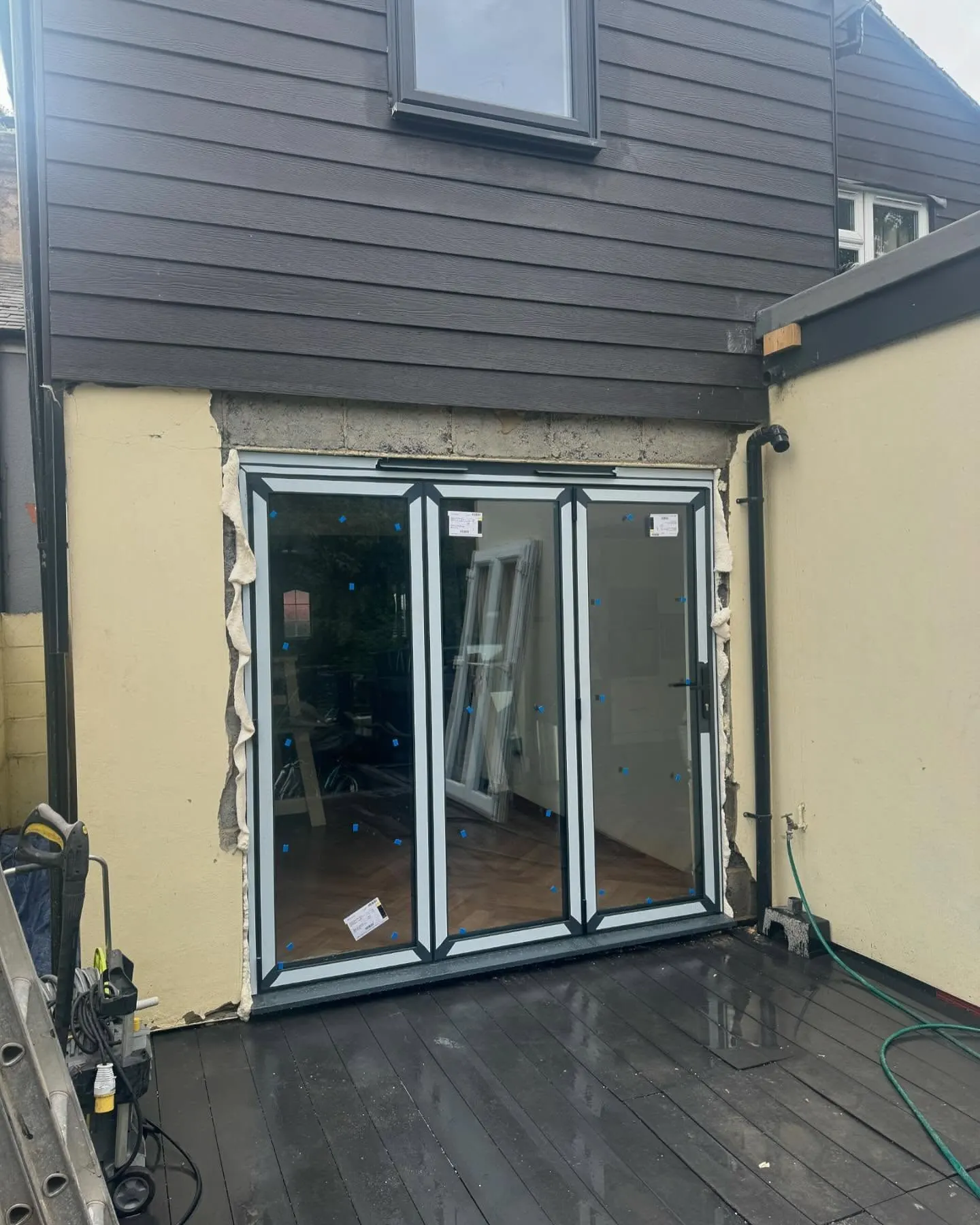
What the back of the house was, and is.
One of ours mid build and finished. No staging, and no borrowed images. Drag to reveal.
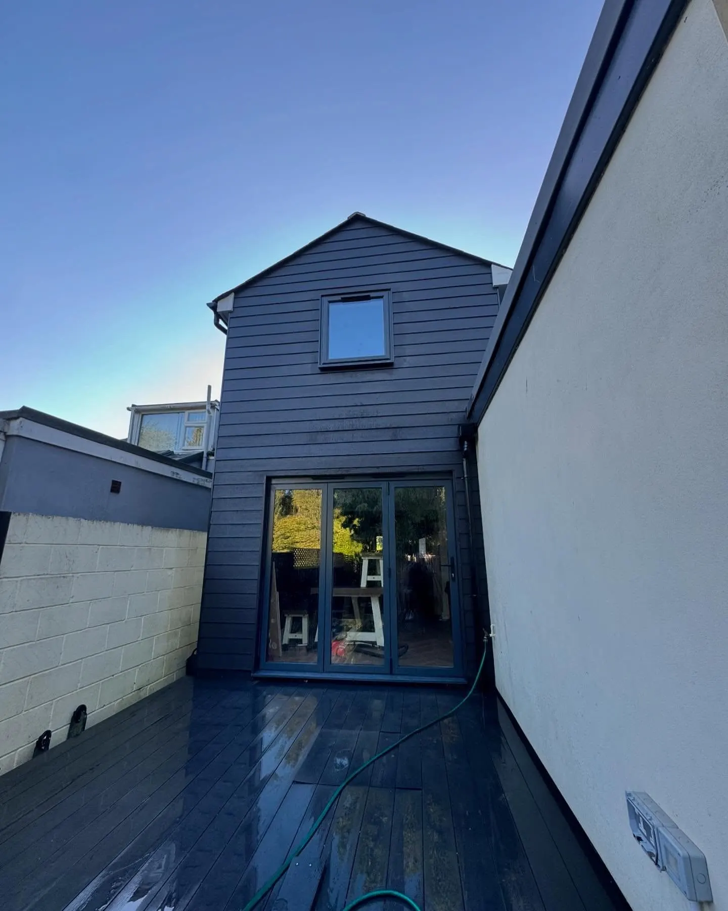
 During
Finished
During
Finished