
Extensions in Feering
One parish, two settlements, and three different answers to the question of which rules apply to your address.
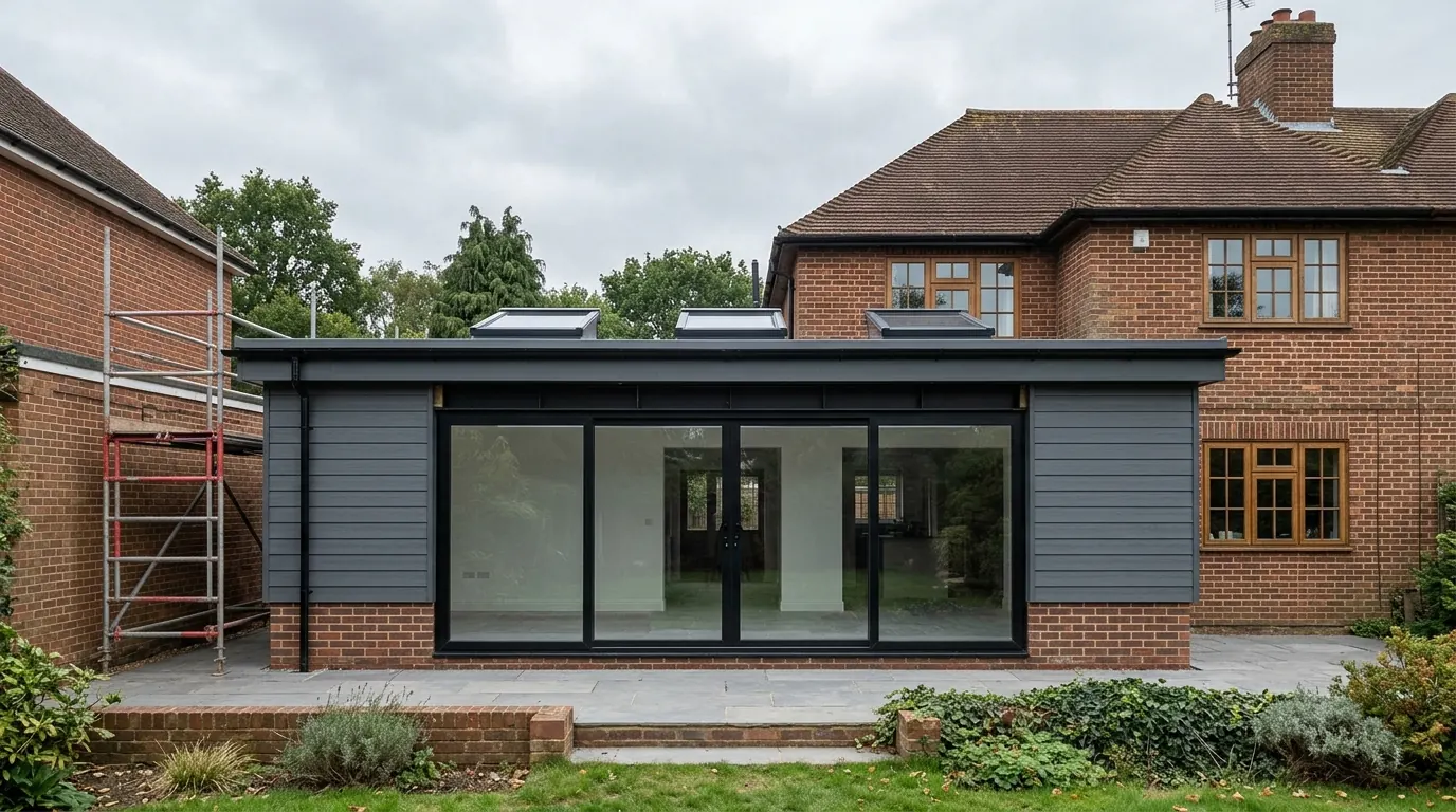 Fig. 01
Extending in Feering
One parish, two settlements, and three different sets of rules depending on which part of it you live in.
Feering is often described as the village next to Kelvedon, which is true of the geography and misleading about the planning. The parish has always had two centres: the old village around All Saints Church, The Street, the Green and Coggeshall Road, and the separate hamlet of Feering Hill down on the London road. The nineteenth century railway line and a strip of open ground sit between them, and that separation is exactly why the village core has kept its shape.
The parish had 2,103 residents at the 2021 census. Applications are determined by Braintree District Council. Feering also has a made neighbourhood plan, adopted in January 2023, which forms part of the development plan the council decides against.
The trap: which conservation area are you in?
Part of Feering sits inside Kelvedon’s conservation area, not Feering’s. This catches people every year.
The Feering conservation area was designated on 27 May 1976 and covers the old village: the church, the Green, and the buildings on The Street and Coggeshall Road around them. It is small and it is tightly drawn.
Part of Feering Hill, on the other hand, falls within the Kelvedon conservation area, which crosses the River Blackwater and runs up the hill on this side of it. Kelvedon’s own character appraisal treats Feering Hill as one of its character areas.
So a Feering address can be in the Feering designation, in the Kelvedon designation, or in neither. All three positions are common in this parish, and the difference is not cosmetic: it decides which appraisal document your design will be judged against and what an officer will say about materials. We establish it on your address before anything is drawn.
Where either designation applies, the permitted development position is the narrowed one for designated land. Under Class A, side extensions and cladding lose permitted development status, as does a rear extension of more than one storey. Under Class B, a dormer needs permission. Class C, covering rooflights, is not excluded on designated land, so a rooflight in the plane of the existing roof slope stays permitted development unless an Article 4 direction removes it, and no Article 4 direction is recorded over the village. It costs nothing to have the council confirm that against your address, and a written answer is worth more than a blank map.
How small the designation actually is
Eleven designated heritage assets. That is the whole of it, and it is a much lighter constraint than the neighbouring villages carry.
The Feering conservation area contains eleven designated heritage assets. All Saints Church is Grade I listed. Everything else in it is Grade II, including a former late medieval guildhall, Church Farm, a run of houses and cottages, and a K6 telephone kiosk.

Set that against Coggeshall’s 241 listed buildings or Kelvedon’s dense High Street and the difference is obvious. Feering’s core is protected for its overall form and its rural setting rather than because most of the individual buildings are designated. That has a practical consequence: for the great majority of houses here, the conversation is a planning one about design, not a listed building consent one about fabric.
The appraisal is specific about what gives the village its character. Buildings run from the twelfth century church to the twentieth century, mostly rendered, with the church in flint rubble and the Church Farm buildings largely black weatherboarded. Heights run from single storey with attics to two storey with attics, and the roofscape is the thing: half hipped and gambrel roofs alongside plain gables, with gaps between buildings that let views out to the church and the countryside. New development in the village has been kept low so as not to close those gaps.
The appraisal also states plainly that modern uPVC windows would be considered inappropriate, and notes that they are not a notable feature of the area. If you are replacing windows on a house here as part of an extension project, that is worth knowing before an order is placed.
Most of Feering is outside both designations
And the housing out there is the ordinary twentieth century stock that most of the work happens on.
The old village has grown slowly. Post-war retirement cottages were built to the south-west of the church and on the southern side of the Green, and they are modest in scale. A group of mid twentieth century council houses sits on the north-western edge of the settlement, outside the conservation area. There has been further development west of Coggeshall Road in more recent decades.
Feering Hill is different again: a ribbon of mixed ages along the old main road, from listed timber framed buildings at the Kelvedon end to twentieth century houses further up.
Outside the designations, the full set of Class A rights applies rather than the narrowed version. That means a side extension is on the table, a two storey rear addition is on the table within the limits, and cladding is a design choice rather than an application. On a mid-century semi with side access, that opens up options a High Street neighbour half a mile away simply does not have. The right way to rely on any of it is a lawful development certificate, not an assumption.
The valley side, and what is under the garden
Feering sits on a slope with water-meadows below it, and the ground changes as you go down.
The village core is built on a gentle slope on the eastern side of the Blackwater valley, with the water-meadows of the valley floor to the west, the railway to the south, and open farmland to the east and north. That fall is the most useful thing to know about the ground here.
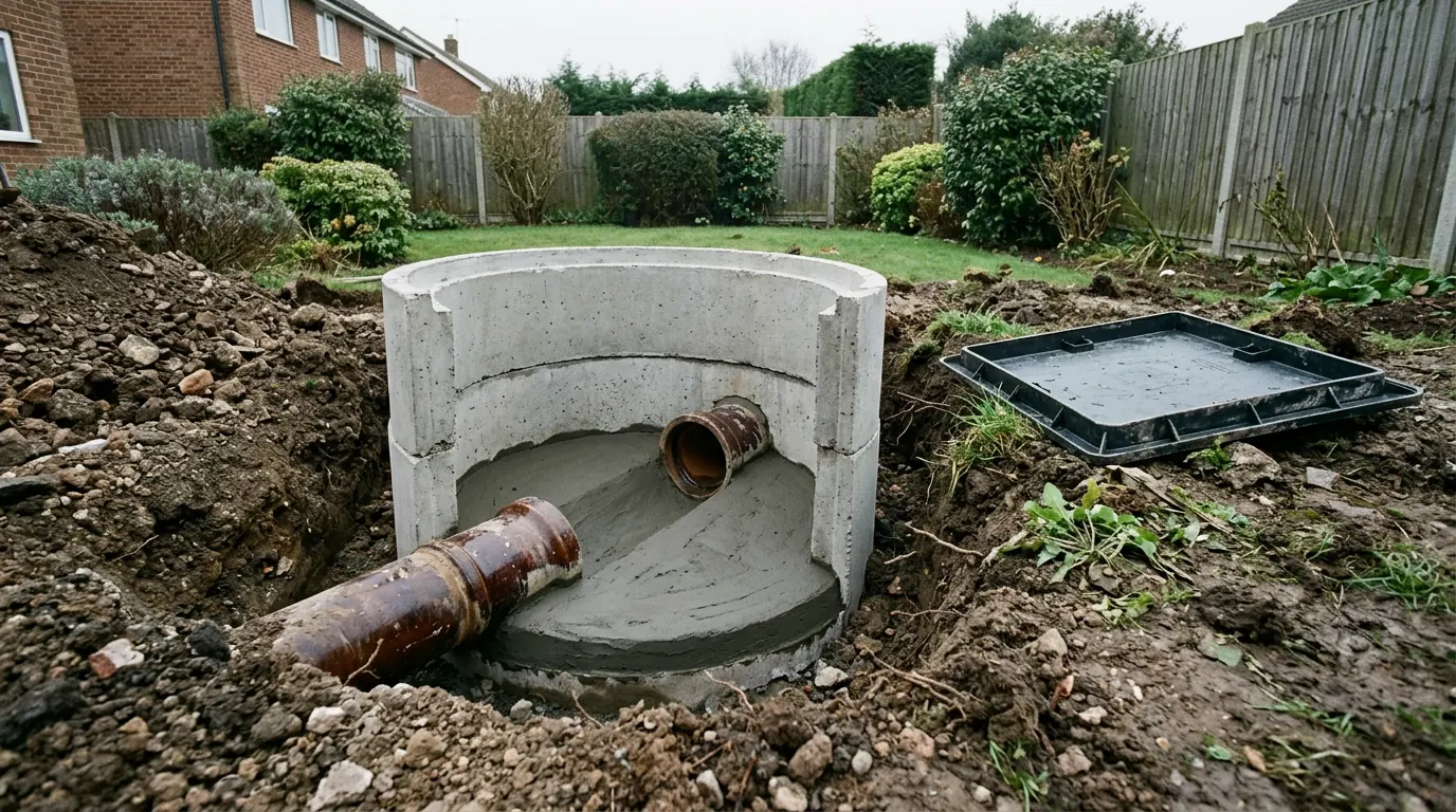
Low on the valley side you are into river deposits: gravels and alluvium, with a water table that can be close to the surface. Higher up the slope the ground firms into clay. The two behave differently under a foundation, and they behave differently again in a trench you have to stand in. A dig that fills with water is a real cost, and the answer is either a different foundation type or a different sequence, decided in advance rather than at eight in the morning with a concrete wagon booked.
Where the ground is a shrinkable clay, the usual Essex arithmetic applies: seasonal moisture change sets the depth, and any tree within influencing distance increases it, with the figure driven by species, mature height and distance rather than by the visible canopy. Our guide to Essex clay, shrinkage and heave explains why removing the tree is usually the wrong solution.
On a sloping plot, ask what the quote has assumed about levels as well as about depth. A rear extension on falling ground needs either a stepped foundation or more concrete than a flat plot, and the difference is usually visible in a trial hole before anyone digs.
Water, in two forms
The river is the obvious one. The surface water off your own roof is the one that generates arguments.
The Blackwater flooded Feering along with Coggeshall and Kelvedon in October 2001, and again in 2012 and 2014. The Environment Agency has designed a flood alleviation scheme covering the three villages, based on a dam and an extended flood storage area upstream. It is designed rather than built, and what governs your application today is the flood zone your plot actually sits in, which is a matter of record and can be checked before a design is committed to.
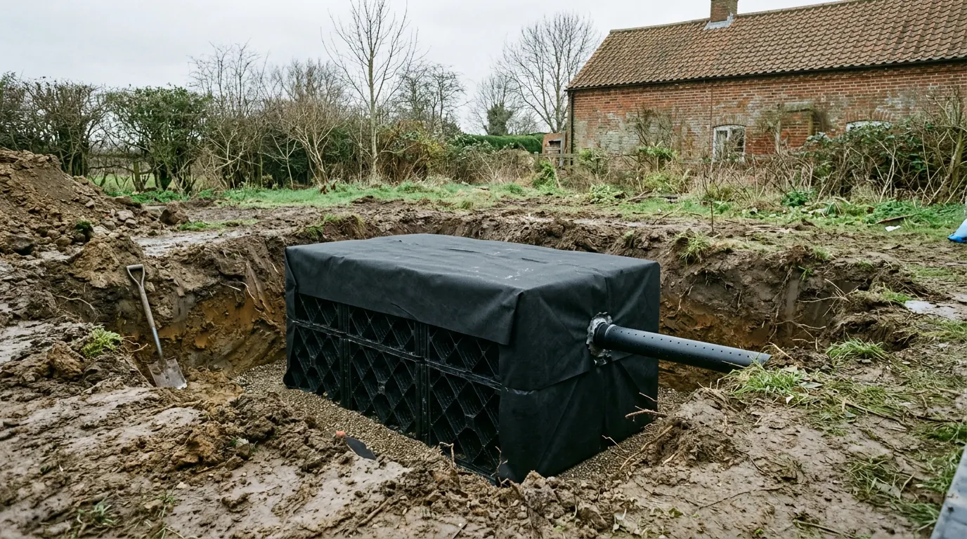
The second form is more mundane and more common. A new roof plus a new terrace produces run off that has to go somewhere designed. On the clay a soakaway does very little, and on a slope the water that a soakaway does not take goes downhill into somebody else’s garden. Where a connection is the answer rather than a soakaway, that needs establishing early, because it changes both the cost and the drawings.
Foul drainage is the third question. Where a shared run serves more than one property it will usually count as a public sewer even if it lies entirely within your garden, and building over or within three metres of it means a build over agreement with Anglian Water on its own timescale.
Access, lanes and the railway
The village core is a lane layout, and the railway bridge decides some of the routes.
The Street and Coggeshall Road are village lanes with buildings close to them and limited turning space. Deliveries need thinking about rather than booking, and on the tighter frontages a concrete pump is the sensible answer rather than an extravagance.
On Feering Hill the constraint is different: a busy road frontage, restricted parking and a queue behind anything that stops. On the post-war housing off the main routes, most plots have a drive that takes a skip and a side gate wide enough to barrow through, which is the cheapest version of this job anywhere in the parish.
What people build in Feering
The split between designated and undesignated decides the brief more than the age of the house does.
On the twentieth century stock the mainstay is a single storey rear extension opening the back of the house into one room, often with a side return filling the gap alongside where the plot allows. Loft conversions come up on the pitched roofs, and a rooflight conversion is frequently the better answer anyway, because it is cheaper, quicker and avoids the dormer question entirely.
In the village core the work is quieter and more careful: a rear addition kept subordinate so the gaps and the roofscape survive, render rather than board, and a roof pitch that belongs to the building it is joining. Half hipped and gambrel roofs are part of the local vocabulary, and an extension that acknowledges them lands better than one that ignores them.
Questions we get asked in Feering
Am I in the Feering conservation area or the Kelvedon one?
Either, or neither. Part of Feering Hill sits in the Kelvedon designation despite being in Feering parish. It is the first thing we check, because the answer decides which appraisal your design is measured against.
Does the neighbourhood plan give the parish a veto?
No. Braintree District Council determines the application. The neighbourhood plan is policy the council weighs, which makes it worth designing with rather than around.
Can I fit uPVC windows in the extension?
Outside the conservation areas it is your choice. Inside, the appraisal treats them as inappropriate, and a materials schedule that ignores that is a slower application than it needed to be.
My garden falls towards the meadows. Is that a problem?
It is a design question rather than a problem. Falling ground affects foundation depth, floor levels and where surface water goes, and all three are cheaper to solve on paper.
Getting a price for a Feering extension
Our team comes out and surveys the property properly before anything is drawn: the fall of the ground and what a trial hole is likely to find, the trees, the existing footings where they can be seen, the drain runs, the access, and precisely which designation applies at your address.
Most people who call us already have drawings and permission and want a builder to price the work and build it. That is the ordinary job here, and we are glad to work to somebody else’s plans. Where the drawings do not exist yet, we bring in the technician who draws it and the structural engineer who calculates it, we prepare and manage the application with Braintree District Council, we notify Building Control and we run the job as main contractor. Our planning application support page sets out what that involves.
We carry £2m public liability cover and everything is built to current Building Regulations. The survey and the quotation cost nothing.
Last reviewed August 2026.
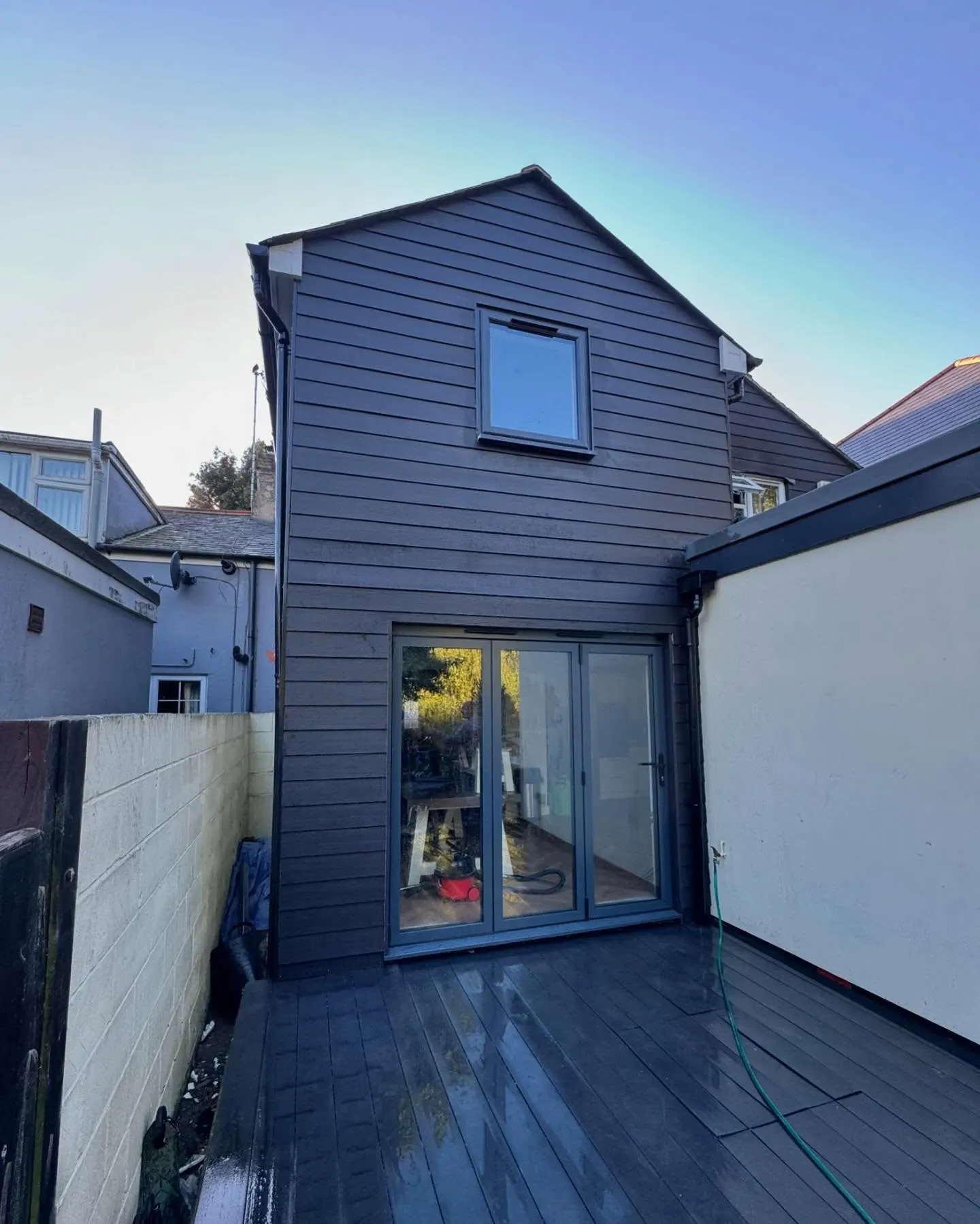
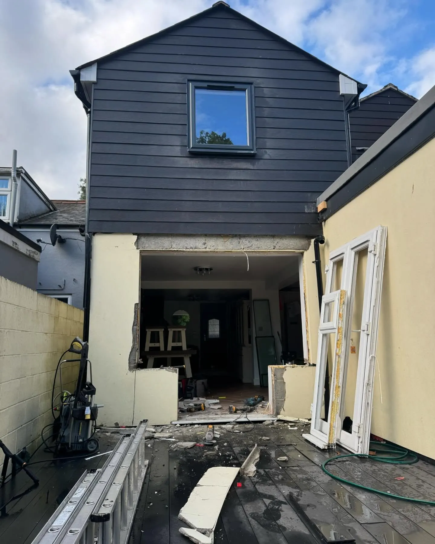
The same wall, before and after.
A two storey rear addition on a job in the Colchester area, photographed as it went. Drag to reveal.
 During
Finished
During
Finished