
Extensions in Holbrook
The map decides your programme here before the drawing does, and the map is not the one most people think to look at.
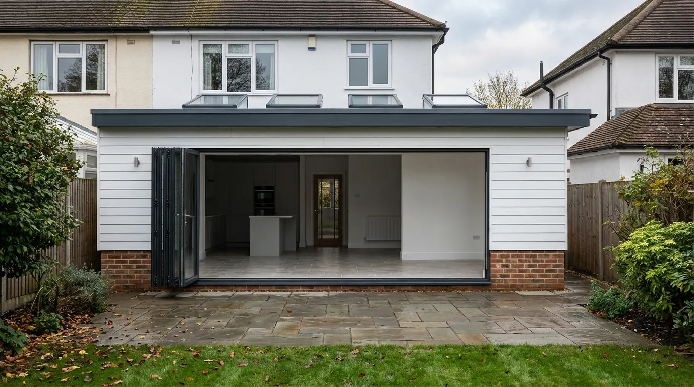 Fig. 01
Extending in Holbrook
A village where the listed buildings are mostly twentieth century, the northern edge is a reservoir, and a landscape designation decides more than the design ever does.
Holbrook sits on the Shotley peninsula about five miles south of Ipswich, on ground that falls away towards the Stour. The 2021 census counted 2,142 people in 739 households across roughly eight square kilometres, which makes it a working village with a shop, two pubs, a primary school and a secondary school rather than a hamlet.
It is also, quietly, one of the more constrained places on the peninsula to extend, and for reasons that are not obvious from the street. Nothing here looks precious in the way a timber-framed village looks precious. The constraints are on a map instead.
Who decides your application
Babergh District Council. Not Ipswich, however close the town feels.
Holbrook is a civil parish in Babergh, so applications are determined by Babergh District Council. Ipswich Borough’s boundary is drawn tightly around the town and stops a long way short of this parish, so the fact that Ipswich is the place people shop, work and catch a train from changes nothing about who validates a form.
Suffolk County Council is the highway authority and the lead local flood authority. That is who a skip permit on the B1080 comes from, and who has a view on a new access or on where surface water goes. The same applies further down the peninsula at Shotley, which is also Babergh despite being a different sort of place entirely.
The National Landscape, which sets your planning route
Most people here have never heard of it, and it is the thing that decides whether your job takes weeks or months.
Suffolk Coast and Heaths was designated an Area of Outstanding Natural Beauty and renamed a National Landscape in 2023. The statutory designation is unchanged by the new name, and its mapped boundary reaches into this village rather than stopping at the parish edge.
Where an address falls inside it, the property is article 2(3) land, and a specific list of permitted development rights disappears:
- Side extensions, at any width.
- Rear extensions of more than one storey.
- External cladding of any part of the house.
- Roof enlargements such as dormers, because Class B is excluded on designated land.
- The larger home extension prior approval route, which is the one that doubles the depth allowance at the back and is not available on designated land at all.
That last one is the expensive absence. On an undesignated village plot a deep single storey rear extension can often be delivered through prior approval in weeks. Here the same drawing is a full planning application, which is an eight week statutory determination period from validation before anyone breaks ground.
What survives is the rooflight. A roof window sitting in the plane of the existing slope falls under Class C, which has no exclusion for designated land, so it stays permitted development on a front slope as well as a rear one unless an Article 4 direction removes it. Class C brings conditions: no more than 150mm beyond the plane of the original slope measured perpendicular to it, nothing higher than the highest part of the original roof, and obscure glazing that does not open below 1.7 metres on any roof window in a side elevation. No Article 4 direction is recorded over the village, and Babergh will confirm that against your address at no cost.
The boundary runs through the village rather than round it, so two houses on the same road can hold different rights. It gets checked on the address, every time.
No conservation area recorded, which is not the same as no constraint
People hear that and relax. Two controls genuinely do not apply, and the rest still does.

No conservation area is recorded over Holbrook, and that is worth having confirmed against your own address rather than taken on trust. Where it holds, two specific controls are absent that catch people in the designated villages nearby: there is no requirement to give six weeks’ notice before most tree work, and demolishing an unlisted building does not need its own separate consent.
Everything else stays. The National Landscape does the heavy lifting on permitted development, individual trees can still carry a Preservation Order anywhere, and a listed building is listed whether or not there is a conservation area around it. The absence removes two procedures, not the planning route.
Listing here looks like a 1930s house
The Royal Hospital School brought a large group of twentieth-century listed buildings to a village that has few old ones.
The school was founded at Greenwich in 1712 and moved to Holbrook in 1933, onto a purpose-built campus designed by Herbert Tudor Buckland in a neo-Wren manner. The main range is listed Grade II, as is the chapel, and so is a series of houses built for the school between about 1925 and 1933: red brick in Flemish bond, tile hanging above, hipped roofs in dark red plain tiles. They look like good interwar suburban houses, which is exactly why people assume they cannot be listed.
If you own or buy a listed property in this parish, there is one thing to get straight, because it is the single most repeated misunderstanding we deal with anywhere.
Listing does not remove your permitted development rights under Part 1. It adds a second consent regime on top of them. Listed building consent sits under separate legislation, it covers the interior as well as the exterior, and carrying out work without it is a criminal offence rather than a planning breach. In practice that second consent is the harder of the two to obtain, which is why so many people conclude the first one has gone. It has not.
Our guide to listed buildings and extensions sets out how the two regimes run alongside each other and which one to start with.
The wider effect of the school on this village is that the officer has a local material palette to point at. Red brick, plain clay tiles and tile hanging are the vernacular here in a way that is documented rather than argued about, and a scheme that acknowledges it has an easier route than one that does not.
Alton Water, and a village with a hard edge
The valley beside the village was flooded within living memory, and that fixed the shape of the place for good.
Alton Water was constructed between 1974 and 1987, flooding the valley to the north and west and creating the largest reservoir in the county. A circular path runs the shoreline and it is the reason a lot of people know the village name at all.
For a homeowner the consequence is about land rather than water. Holbrook is bounded on one side by the reservoir and on the others by the National Landscape and open farmland, so the village has grown by filling in and building up rather than by spreading out. That is a large part of why extending is so much the normal move here: the alternative, moving somewhere larger in the same village, mostly does not exist.
Clay on a slope, which is two problems rather than one
The shrinkage question and the water question arrive together on ground that falls.
The 1:50,000 mapping puts the Thames Group, the London Clay, beneath the village, with the older Thanet Formation and Lambeth Group appearing to the south and Red Crag further east along the peninsula and under Felixstowe across the water. Under most Holbrook plots you are on clay once the topsoil is off.
The first consequence is the familiar one. Shrinkable clay moves with the season, and a mature tree drawing water across a growing season moves it a great deal more, from a zone reaching well beyond the spread of the canopy. On a clear plot a foundation somewhere around 900mm to 1.2 metres is often enough; within influencing distance of a mature oak, two metres is common, and at that point the engineering answer often changes shape to a piled foundation with a suspended slab and a compressible void former beneath it. Taking the tree out is not the cheap escape it looks like, because ground dried for decades takes the water back and swells, and heave acts upwards. Our guide to clay subsoil and heave explains what is happening under the trench.
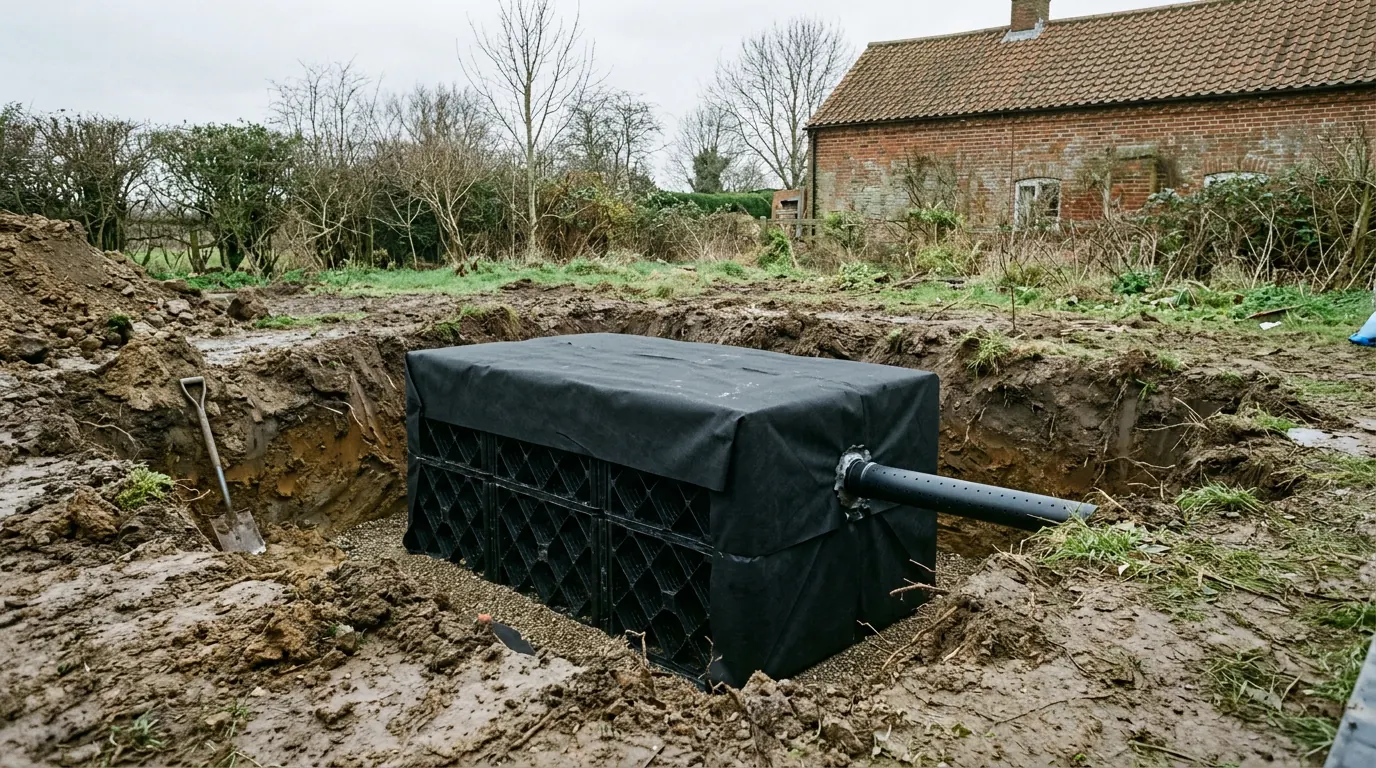
The second consequence belongs to the slope. Where a permeable horizon sits over clay on falling ground, water perches at the junction and finds its way out, which is why a trench that was dry on Monday can be standing in water by Wednesday. That is a sequencing and dewatering item rather than a design failure, but it has to be allowed for, and a price built on a dry August dig is not a price for a February one.
Access, and what people build
Two ways out of the village, and a set of briefs shaped by the designation rather than by taste.
The B1080 runs through Holbrook and gives it something Shotley does not have: a choice of routes, north to join the peninsula road near Freston or west through Stutton to the A137. Deliveries are straightforward as a result. Inside the village the estate roads and the post-war stock generally offer a driveway for a skip and a gate down the side, while the older lanes near the church are tighter and everything goes through by hand.
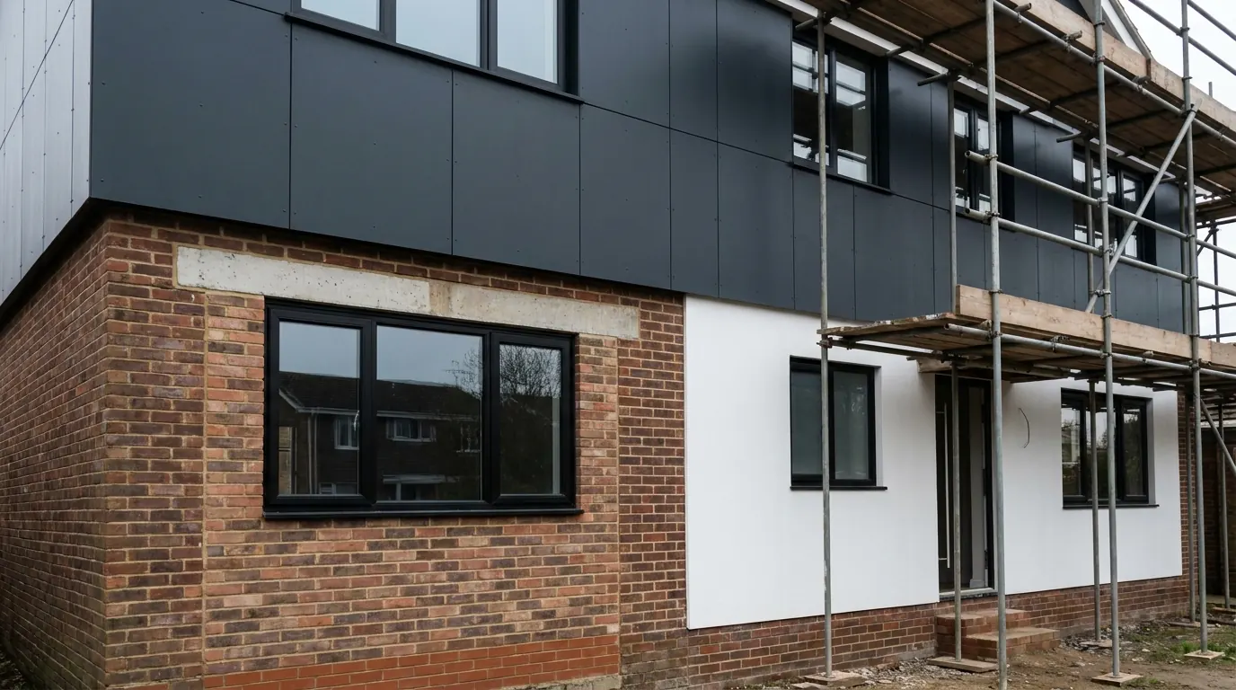
The work itself follows the constraints. Single storey rear extensions lead, and here they are usually full applications rather than prior approvals. Garage conversions are disproportionately popular, because almost all of the work is internal and the designation barely touches it. Loft conversions are mostly rooflight schemes in the plane of the slope rather than dormers, for the same reason. Detached garden rooms come up often, since a building of modest height in the garden can still be permitted development where the house itself has run out of options.
Questions we get asked in Holbrook
My house was built in 1972. Does the National Landscape really apply to me?
Yes, if the address falls inside the boundary. The designation is about land, not about the age or merit of what stands on it, and an ordinary post-war house inside it has the same reduced rights as a cottage.
Can I use the deeper rear extension route?
Not on designated land. The prior approval route is expressly unavailable there, so a deep single storey rear extension goes in as a full application and runs to the eight week determination period.
My house is listed. Does that mean I cannot extend?
No. Listing adds a consent, it does not take your Part 1 rights away. What it means is that a second application, under separate legislation and covering the inside as well, becomes the one that decides the scheme.
Do I have to pay the estuary contribution?
Not for an extension. The Suffolk Coast recreational disturbance contribution attaches to net new dwellings, and adding to the house you already live in does not create one.
Getting a price for a Holbrook extension
We are at West Bergholt, and the run up through Stutton puts us in the village without much ceremony.
Our team checks the designation position on your address before anything else here, because it decides whether the job is an eight week application or not, and that changes the whole programme. After that it is the ground: what a trial hole gives, what is growing near the trench line, and whether the slope is going to put water in it. Most people who call us already have drawings and permission and want a builder to price the work and build it. That is the ordinary job here, and we are glad to work to somebody else’s plans. Where the drawings do not exist yet, we bring in the technician who draws it and the structural engineer we work with, we handle the application with Babergh District Council, we notify Building Control, and we run the job as main contractor.
We carry £2m public liability cover and build to current Building Regulations, through to the completion certificate. The survey and the quotation cost nothing.
Last reviewed August 2026.
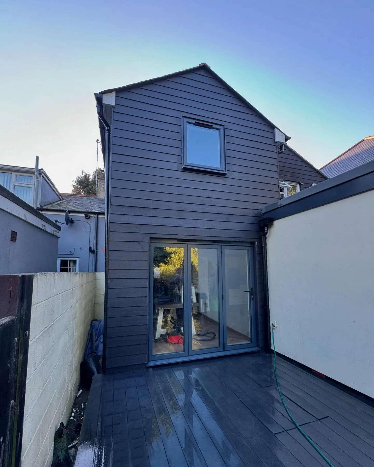
The same wall, before and after.
A two storey rear addition on a job in the Colchester area, photographed as it went. Drag to reveal.
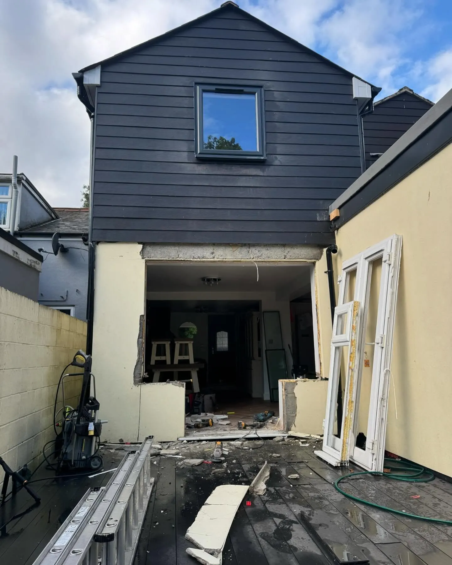 During
Finished
During
Finished