
Extensions in Hatfield Peverel
A station village at the far southern tip of its district, where the authority is the one nobody guesses and the street outside decides how the job runs.
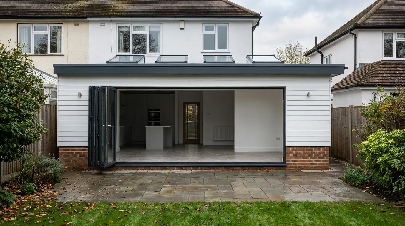 Fig. 01
Extending in Hatfield Peverel
A station village with no conservation area, a core full of listed buildings, and streets that filled up with cars long after they were designed.
Hatfield Peverel sits on rising ground east of the River Ter, six miles north east of Chelmsford and about fifteen from Colchester. The 2021 census recorded 4,285 people in the parish. The village has a mainline station on the Great Eastern, and that station is the reason parking is the first practical problem on most jobs here.
The Street, which is the historic spine of the village, is the old Roman road from London to Colchester and carried the A12 itself until the bypass opened in 1965. That single fact explains the shape of the place: a long thin historic core of coaching inns and cottages, with twentieth century estates hung off it on both sides.
Braintree District, not Chelmsford
This is the one that gets assumed wrongly more often than any other village on our patch.
Hatfield Peverel is in the very southern extremity of Braintree District, so applications are determined by Braintree District Council even though Chelmsford is the nearer town and the postal address points people the other way. Boreham, four miles down the A12, is Chelmsford City Council. Witham, three miles the other way, is Braintree. The boundary runs between them and it does not follow the road.
Braintree District Council also determines against the Hatfield Peverel Neighbourhood Plan, whose reviewed version was adopted in September 2024 after a referendum. On anything larger than a modest rear extension, that plan is part of the development plan and an officer will apply it. We confirm the authority and the plan position against the address before a drawing is started, because a validated application sent to the wrong council is a wasted month.
No conservation area, and what that does and does not mean
The village core has never been designated, which is unusual for a street of this age.
The parish’s own character assessment records the point plainly: the historic core has developed without any conservation area designation, and later twentieth century building has been slotted into the mix along The Street. For an extension that is genuinely helpful. The permitted development rights that a conservation area would clip stay in place. Cladding does not automatically need consent. A rear dormer is not automatically out.
What the village does have is listed buildings, and a lot of them for its size, concentrated along The Street and around the church. St Andrew’s is the surviving fragment of the nave of the Norman priory church, and there are timber framed and early brick houses either side of it.
If yours is one of them, be clear about what listing does. It does not remove the permitted development rights that govern extensions and roof work. It adds listed building consent as a second and separate regime, which reaches inside the building as well as outside, and where unauthorised work is a criminal offence rather than a planning matter. That second consent is usually the harder of the two. Our page on extending a listed building sets out how the two run alongside each other.
The stock, decade by decade
Four distinct layers, and each one extends differently.
The pre-eighteenth century buildings in the core are timber framed with smooth lime plaster and handmade clay plain tiles. The later Georgian and Victorian ones are red brick with tile or slate. Weatherboarding appears throughout, and catslide roofs are common enough to be a local signature.
South of The Street and along Station Road came the earlier twentieth century housing, and then the 1950s brought the first large estates, off Church Road in the village and at Priory Farm in Nounsley. The 1960s and 1970s added the estate north of Church Road: Willow Crescent, Chestnut Avenue, Laburnum Way and their closes, laid out on sweeping avenues with generous grass verges, lighter brick, and white painted timber panelling to the upper storey. Mixed semi detached and detached, open in character, with usable gardens.

From the 1980s the pattern changed again. The Pines and De Vere Close are low density detached houses on their own plots, mostly red brick, some with applied timbering and painted render, and almost all with a garage and off-street parking. In Nounsley, Peverel Avenue and Manor Road off Ulting Road belong to the same era and use the same palette. Most recently the former dairy site off The Street has come forward for housing after the factory closed and was demolished.
The practical consequence is that the extension conversation splits by decade. On the fifties to seventies estates the house is structurally simple and the garden is generous, so the question is depth and rooflight versus lantern. On the eighties and later detached stock the house is bigger already and the plot is tighter, so the question is usually the garage, the flank wall, and how close to the boundary you can reasonably go.
Parking is the constraint nobody puts in a quote
These estates were laid out when a car was a luxury, and then a station arrived in the middle of them.
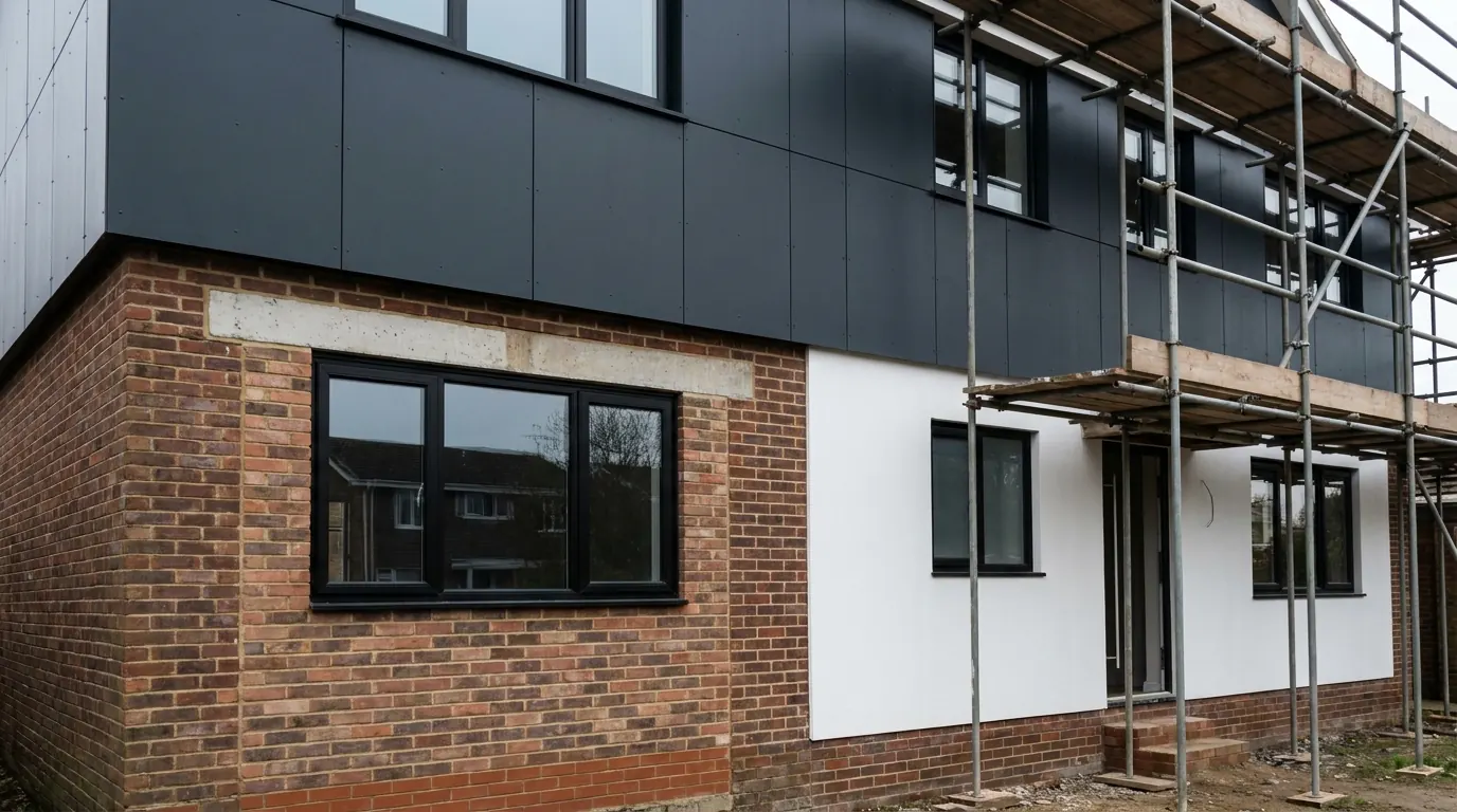
The 1950s to 1970s streets were built with little or no on-plot parking, because the households they were built for did not have two cars. Today they do, and on top of that the footpath routes through those estates lead straight to the station, so rail commuters from outside the village park on the same residential roads all day. The parish has been raising it for years.
That has three effects on a building job, and none of them are exotic. Skip siting is harder, and where a driveway will not take one you are into a highway permit and a scaffold licence rather than dropping it on the drive. Deliveries need a booked window, because a brick lorry that cannot get past parked cars at nine in the morning goes away again. And on a garage conversion, the parking space you are giving up is part of the planning conversation as well as a domestic one, because Essex parking standards are applied to applications and the council will look at what provision remains.
None of that stops the work. It does mean that a quote which has not looked at your street on a weekday morning has priced a different job.
Ground, footings and the neighbour’s wall
The depth question here is less about trees and more about what your house is already sitting on.
The village occupies high ground above the Ter, and the valley floor and its flood risk sit below and away from the built-up area rather than through it. What determines a foundation on most Hatfield Peverel plots is the local subsoil, which varies between clay and superficial gravel across short distances, and the presence of anything large and thirsty nearby. A trial hole and a proper look at the trees settle it. Our guide to extension foundations explains what actually drives the number.
The more reliable complication is the neighbour. The 1950s to 1970s estates here are heavily semi detached, and their original footings are shallow, frequently well under a metre. A new extension founded to modern depth alongside them triggers the Party Wall etc. Act 1996 more often than owners expect, because excavation within three metres of an adjoining structure to a depth below its foundations requires formal notice regardless of how friendly everybody is.
Notice periods are fixed in law at one or two months depending on the section, and they run from service rather than from agreement. They can be shortened one way only: an adjoining owner who consents in writing lets the work start sooner. What you cannot do is start because nobody replied. Served early, it is administration. Served late, it is delay. See the Party Wall Act explained for the sequence.
The A12, and how materials reach the village
Both accesses to Hatfield Peverel are A12 slip roads, and they are due to change.
The village is reached from junctions 20a and 20b, and the consented widening scheme between junction 19 at Boreham and junction 25 at Marks Tey removes both of them, replacing them with a new junction 21 to the east. Development consent was granted in January 2024 and the legal challenge to it has been dismissed. The Station Road and Bury Lane bridges are to be replaced as part of the works.
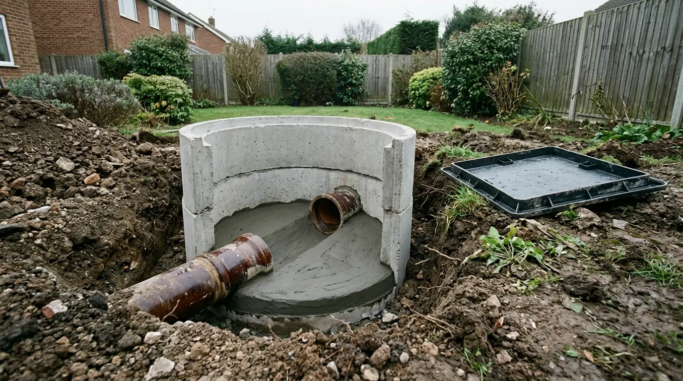
For anyone building over the next few years, that is a programming point rather than a planning one. Haulage routes into the village will change while the work is under way, and a delivery schedule that assumes a slip road which is closed that week is a wasted day. It is worth asking any builder quoting here how they plan to get twenty tonnes of aggregate onto your street.
What people build here
Kitchens at the back on the older estates, garages and roofs on the newer ones.
On the fifties to seventies stock the kitchen extension across the back of the house is the standard job, because those houses were planned with a small separate kitchen and a separate dining room and modern families want one space. Gardens on those estates take it comfortably.
On the 1980s and later detached houses the two commonest moves are converting the garage and going up. Many of these houses have a cut or partly cut roof with a decent ridge height, and a rear dormer gives a genuine double bedroom with an en suite. Because there is no conservation area over the village, a rear dormer is generally a permitted development question rather than an application, subject to the volume allowance and the other conditions in Class B. A rooflight sitting in the plane of the slope is a different and easier class again.
In the historic core the work is smaller and more careful: rear additions behind the building line, opening up ground floors, and repairs that have to sit alongside a listed building consent rather than under permitted development alone.
Questions we get asked in Hatfield Peverel
Which council do I apply to?
Braintree District Council. The village is at the southern tip of the district, so Chelmsford feels closer and is not the authority. We confirm it against your address and deal with the correct one.
Is the village in a conservation area?
No conservation area is recorded over it, which is unusual for a street this old. Individual buildings are listed, which is a separate matter, and it costs nothing to have the council confirm both against your address.
If I convert the garage, where does the car go?
That is the real question, and it is worth answering before the drawings. On an application the council will look at what parking provision remains against Essex standards, and on a street already carrying commuter parking it also matters to you daily.
Do I have to tell my neighbour before I dig?
If you are excavating within three metres of their structure and going below their footings, yes, and on these semi detached estates that is common. It is a formal notice with a fixed period, not a courtesy conversation.
Getting a price for a Hatfield Peverel extension
We are based in West Bergholt, about fifteen miles up the A12, and we work along this corridor regularly.
Our team surveys the property properly before any number is written: the ground, the access and where a skip can realistically stand, the existing footings where they can be seen, the roof structure, and the drain runs. Most people who call us already have drawings and permission and want a builder to price the work and build it. That is the ordinary job here, and we are glad to work to somebody else’s plans. Where the drawings do not exist yet, we bring in the technician who draws it and the structural engineer who calculates it, we manage the planning route with Braintree District Council, we notify building control, and we run the job as main contractor. We carry £2m public liability cover and build to current Building Regulations through to the completion certificate. The survey and the quotation cost nothing.
Last reviewed August 2026.
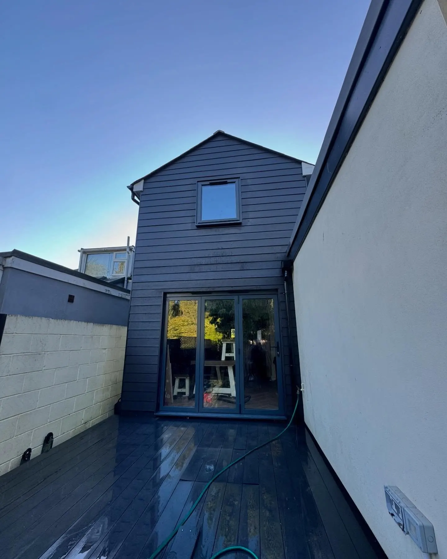
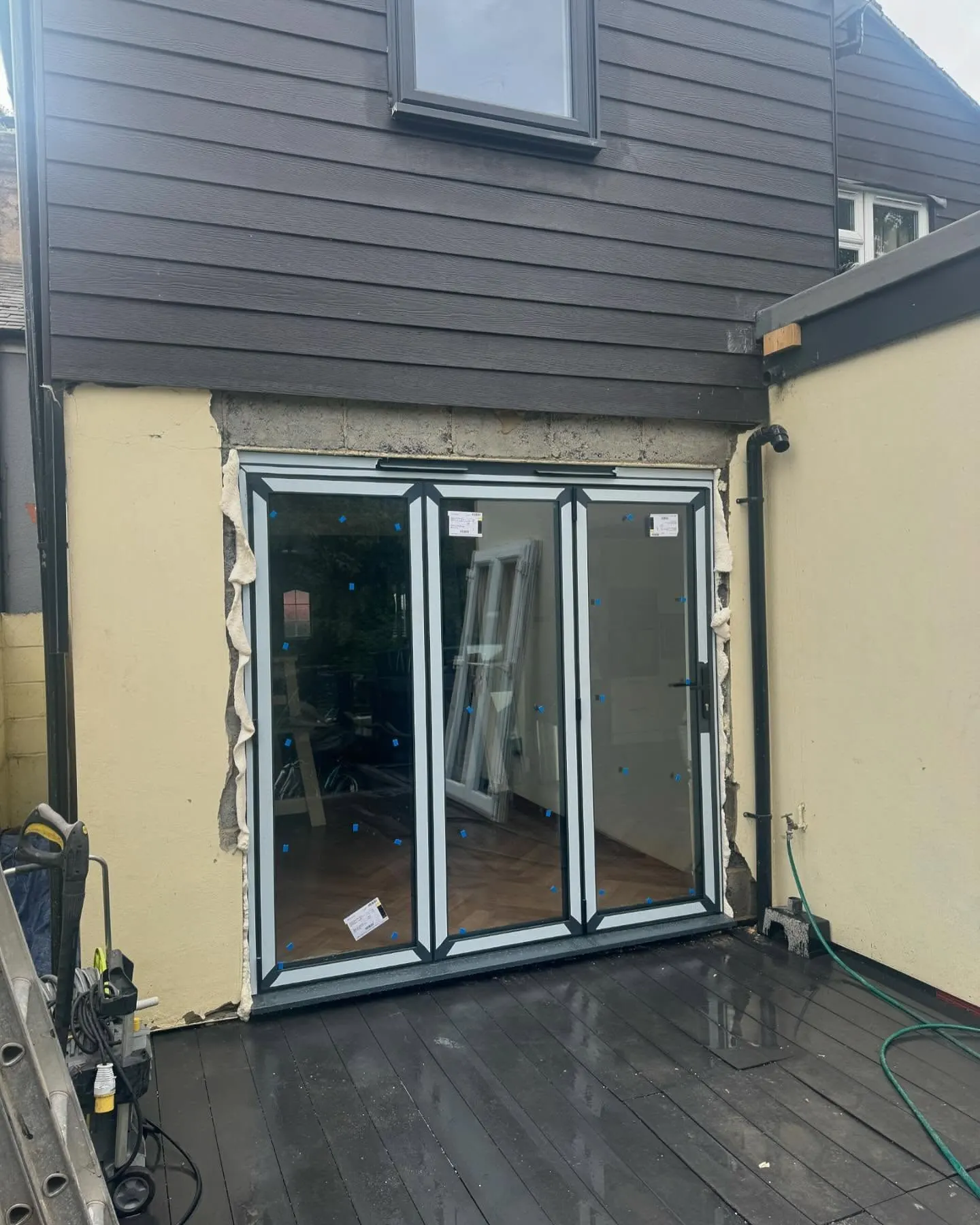
What the back of the house was, and is.
One of ours mid build and finished. No staging, and no borrowed images. Drag to reveal.
 During
Finished
During
Finished